 The
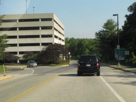
parking garage complex as you enter the station area from the main road
The
parking garage complex as you enter the station area from the main roadRAILFAN GUIDES of the U.S.
TRIP 6
Train Trip to New York City
June 16-17th, 2014
RAILFAN GUIDES HOME
RAILROAD SIGNALS HOME
Several months ago, my wife signed up for some Letterman tickets. They called less than a week before one of the days she had picked, so we had to put a trip together in a few hours. Luckily, my main credit card happens to be an Amtrak rewards card, and I had plenty of points to get two round-trip tickets for nuttin..... Bonus! We decided to go up the day before the shows taping, so we could take our time and take in a little sightseeing.
For those of you not familiar with the New York City subway system, coming to NYC and trying to navigate the subway system can seem like an insurmountable task because of it's size and complexity. I consider myself lucky to have spent my summers here visiting my grandparents. For 15 cents to get on the system, and another 50 for food, I would spend all day riding the rails, and left more than my fair share of my DNA on the front end door handles taking in every little bit of action.
The subway system consists of lines from three formerly independent lines, the BMT, IRT, and the IND. Trains on the IRT had numbers assigned to the routes, and the IND and BMT used letters. The first line to open in New York was in Manhattan in 1904, and was an IRT line. The TLA's (three letter acronyms) stand for: the Interborough Rapid Transit Company (IRT), the Brooklyn–Manhattan Transit Corporation (BMT), and the Independent Subway System (IND). The subway system is the largest in the Ubited States, and 7th largest in the world (hard to believe, isn't it?). There are either 468 or 421 stations depending on how you count them. Individually, there are 468, but there are 32 station complexes, which are comprised of more than one station from the different lines which used to be independent. The three independent lines were brought under one control in June of 1940, but it wasn't until 1953 that the New York City Transit Authority was formed. The NYCTA still exists, but is under the umbrella of the MTA, the Metropolitan Transportation Authority. Links are to sites on Wikipedia.
For the best railfan site for the NYC subways, click here. Everything you want to know about the system is here!
For more pictures of the subway system, check out my page from 2012 when I went to NYC for National Train Day.
Monday June 16th - The Ride Up
The wife and I took a train from the BWI station instead of Penn Station downtown (which is 20 minutes closer) because of the parking and safety issues.
The
parking garage complex as you enter the station area from the main road
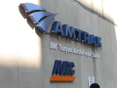 The front
of the station
The front
of the station
 Looking at
the parking garage from the station
Looking at
the parking garage from the station
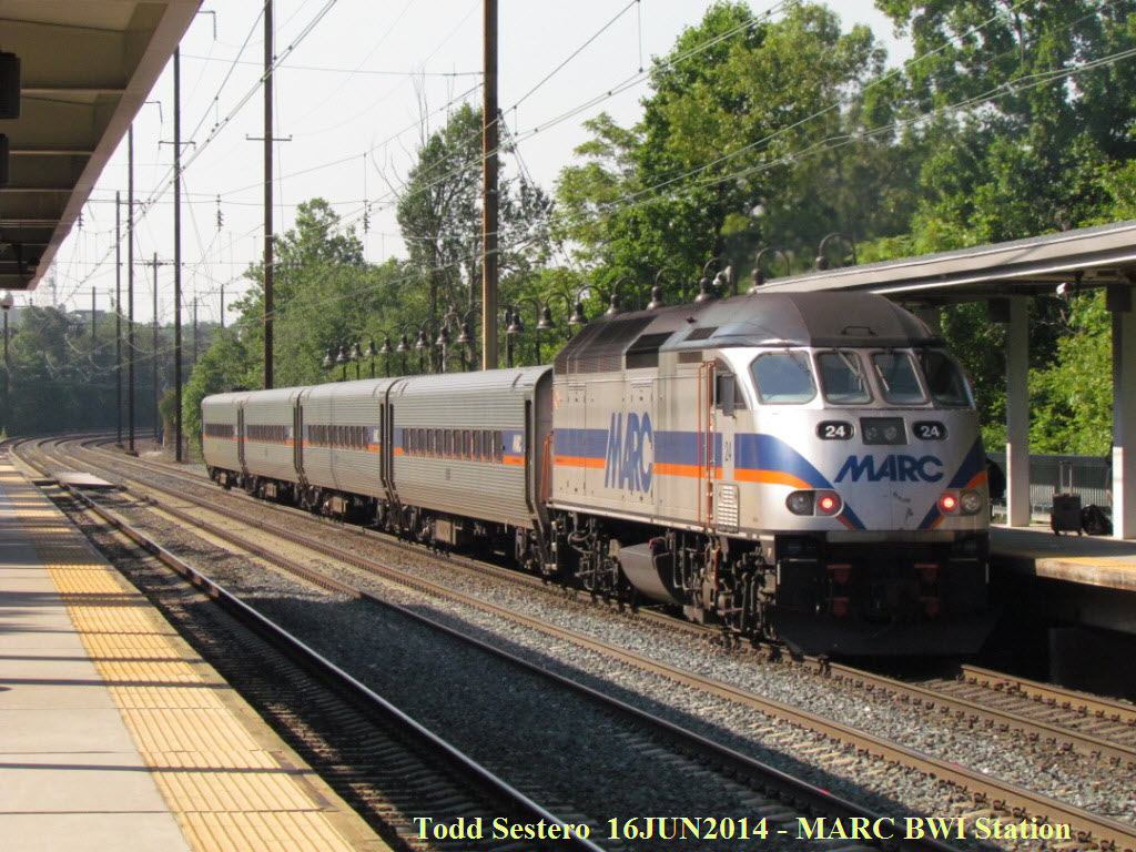
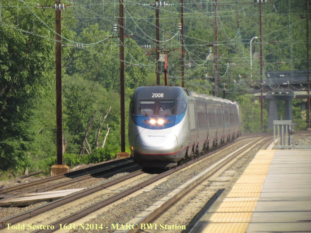 While waiting for our train, these guys came thru....
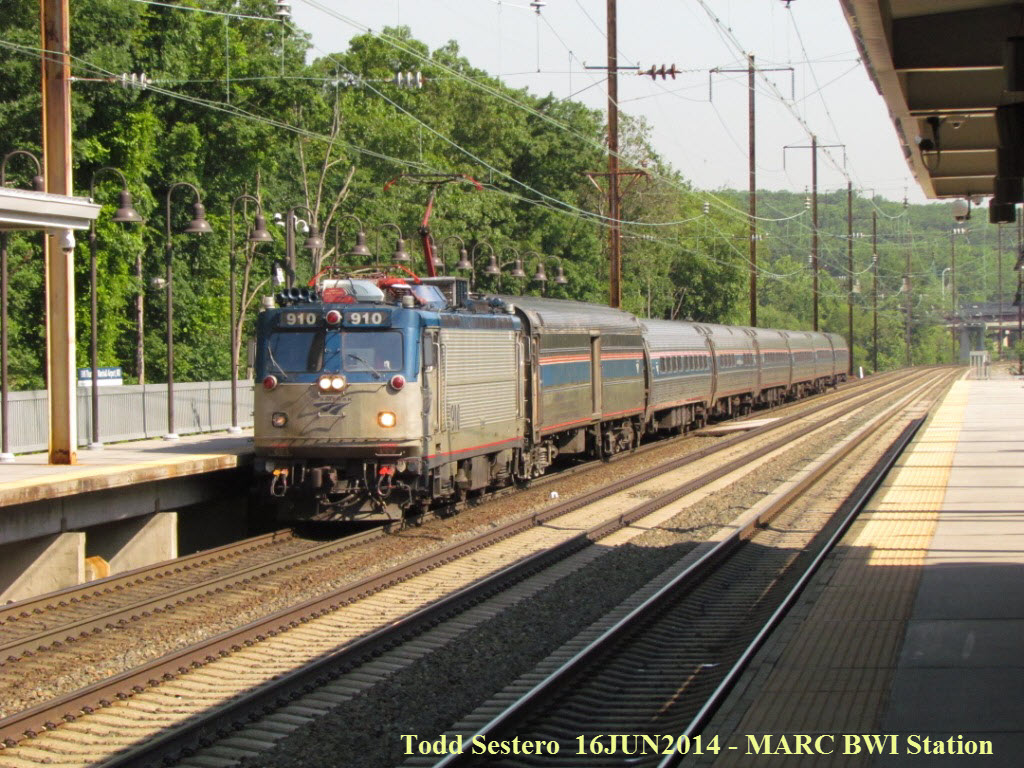
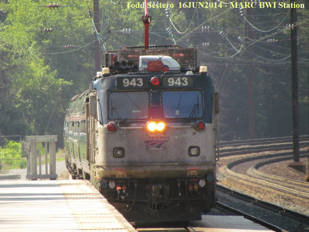 Northeast regional train number 184 coming into the station,
this was our train to NYC.
Northeast regional train number 184 coming into the station,
this was our train to NYC.
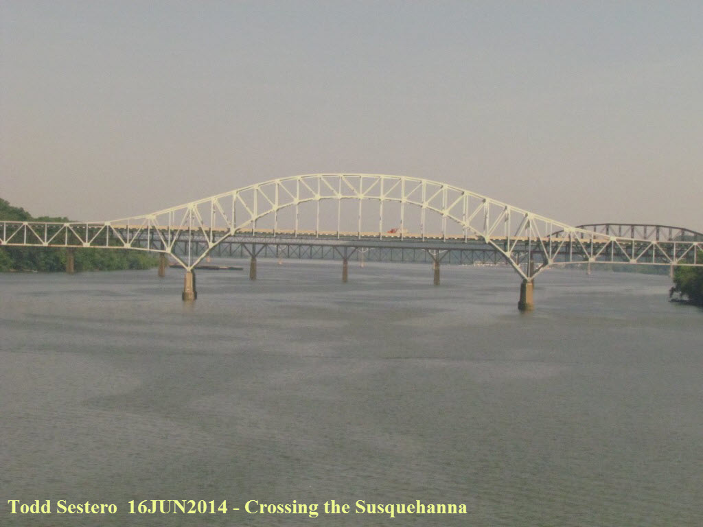
Crossing the Susquehanna, closest to us is the RT 40 bridge,
then the CSX bridge (you can just see the dark colored trusses), and then
finally, I-95 way in the distance.
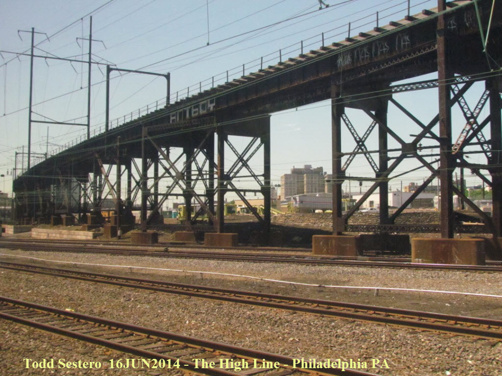 Can't get very many good pictures out the window, but this was
one of them, it's the "High Line" going thru Philadelphia.
Can't get very many good pictures out the window, but this was
one of them, it's the "High Line" going thru Philadelphia.
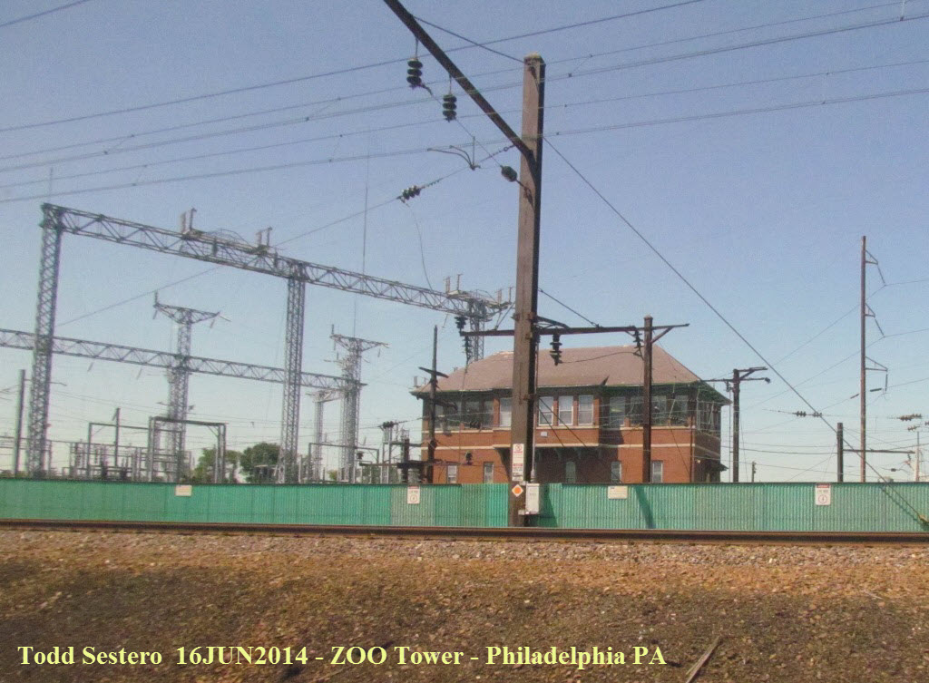 ZOO Tower, to the north of 30th Street Station.
I took a lot of pictures between Philly and NYC, but most aren't worthwhile looking at....
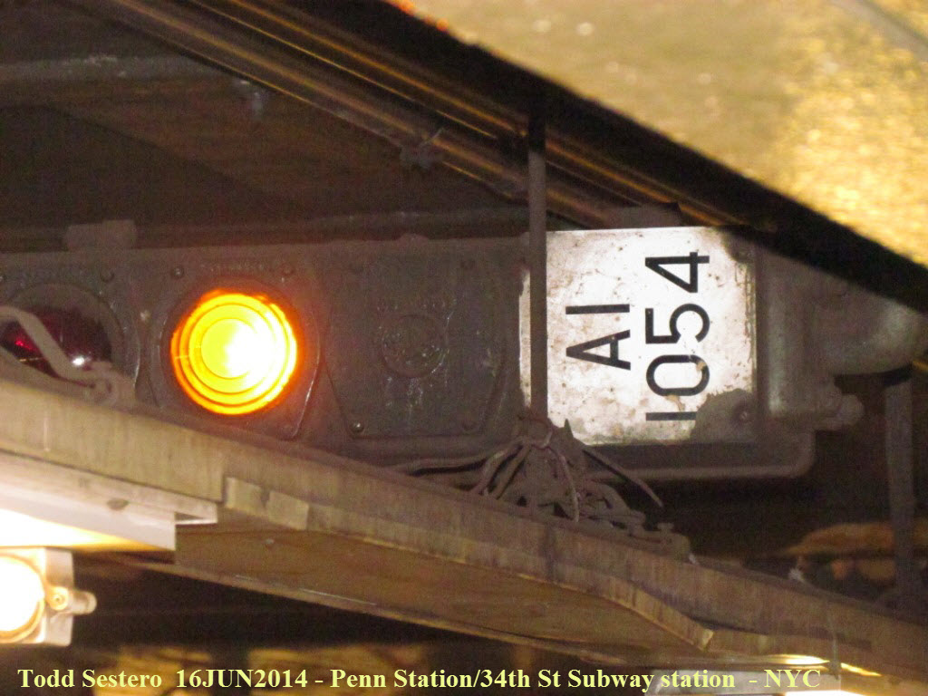
 The arrow points to a special color light signal design only
used by the Pennsy coming into and out of Penn Station.
The arrow points to a special color light signal design only
used by the Pennsy coming into and out of Penn Station.
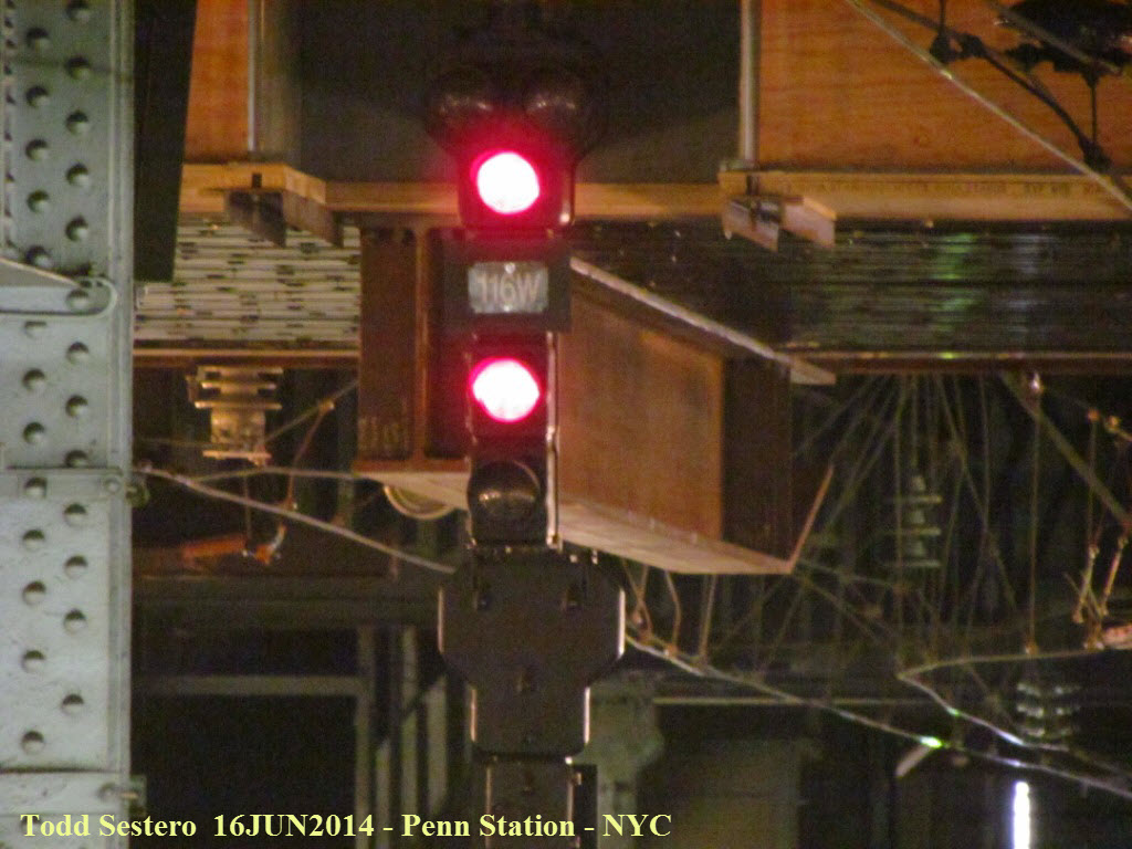 Close-up of the signals, you can see the shape of the upper
head more clearly on the lower signal with its back to us.
Close-up of the signals, you can see the shape of the upper
head more clearly on the lower signal with its back to us.
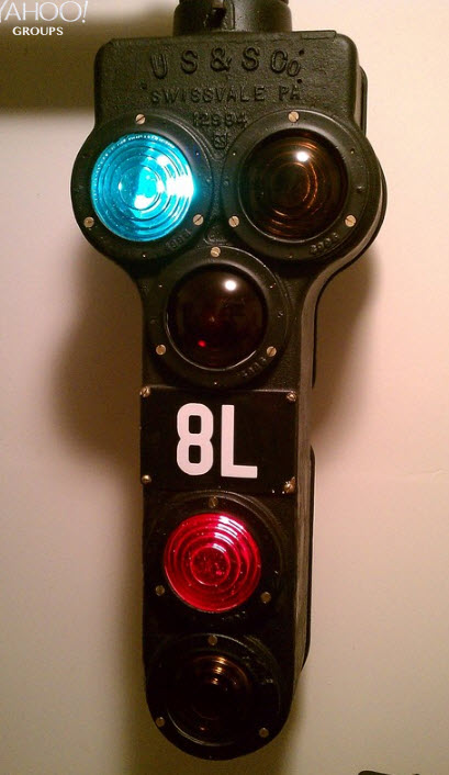
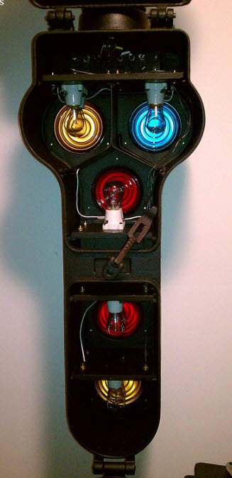
Pictures of this signal from SLTOWER2000's collection.
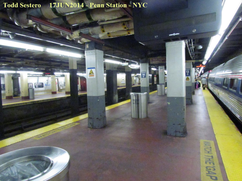
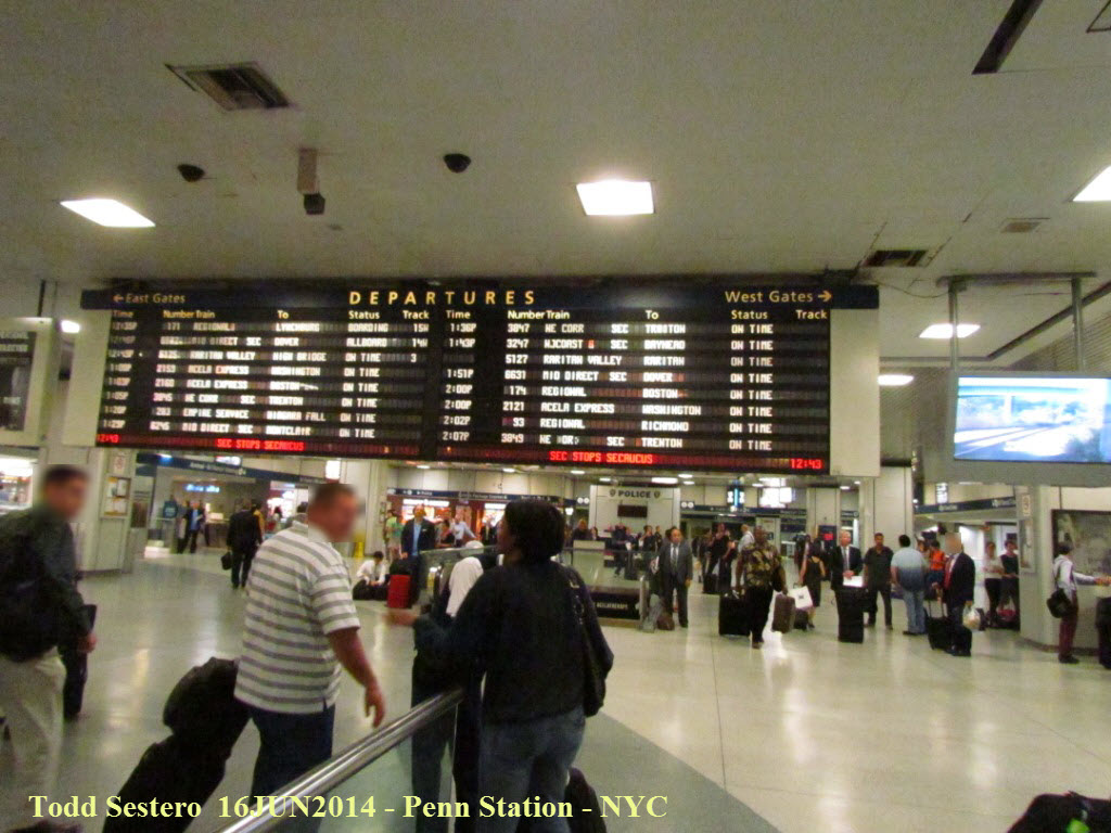 Inside Penn Station.
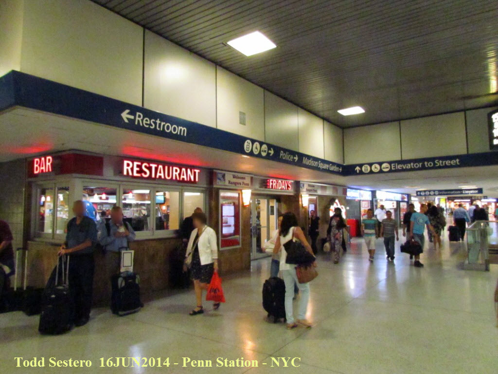
Inside Penn Station. You can find almost everything you
need in the catacombs connecting the various main terminals and the subway
stations, so that you would never have to come out and see daylight again!
This view is just outside the main waiting area above.
Monday June 16th - Early Afternoon Trip to the WTC Memorial
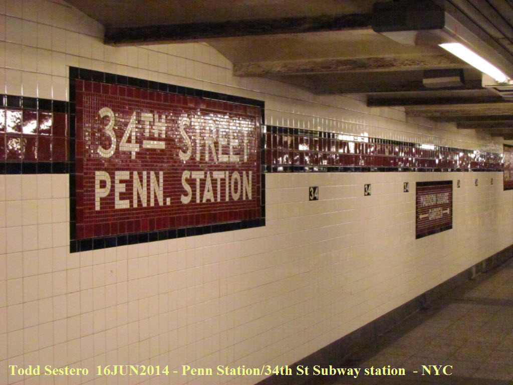 Except for the changeover to fluorescent lighting, the station
hasn't changed much from the 60's.....
Except for the changeover to fluorescent lighting, the station
hasn't changed much from the 60's.....
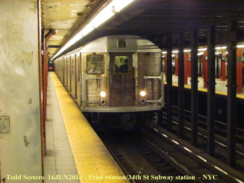 The MTA runs a wide array of subway car models.
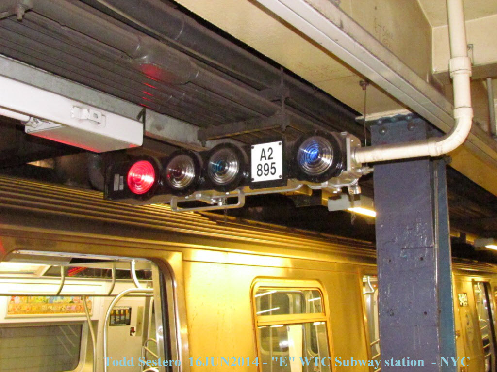
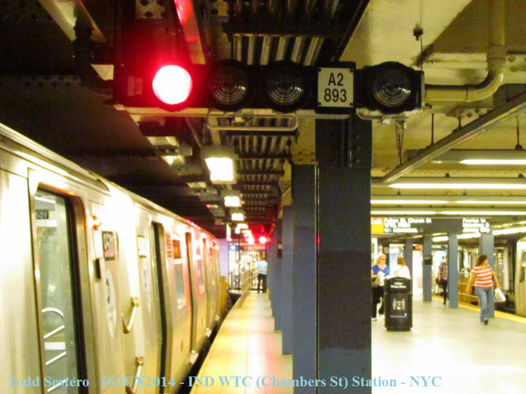
 In the stations, they stick the signals anywhere they can.
Most stations have 3 signals along the length of the platform.
In the stations, they stick the signals anywhere they can.
Most stations have 3 signals along the length of the platform.
 The first subway we caught, an "E", took us from Penn Station
down to the World Trade Center.
The first subway we caught, an "E", took us from Penn Station
down to the World Trade Center.
 Very cool and informative moving map type display.
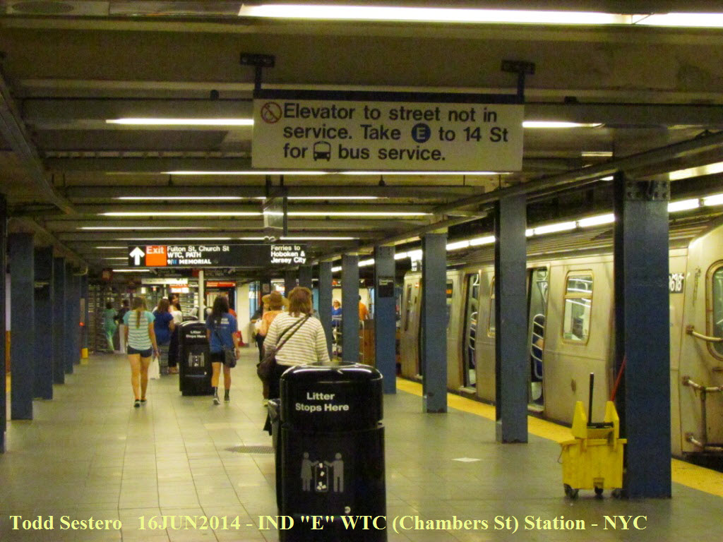
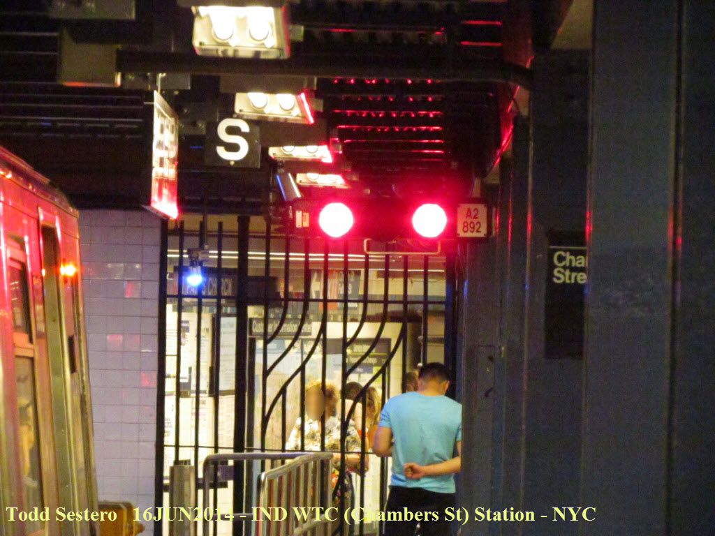
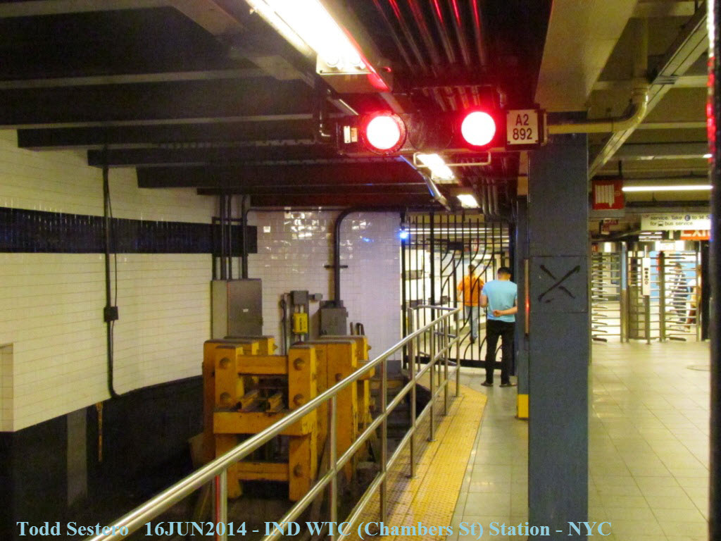
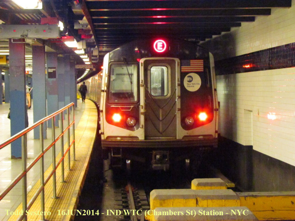 At the WTC station on the "E" line.

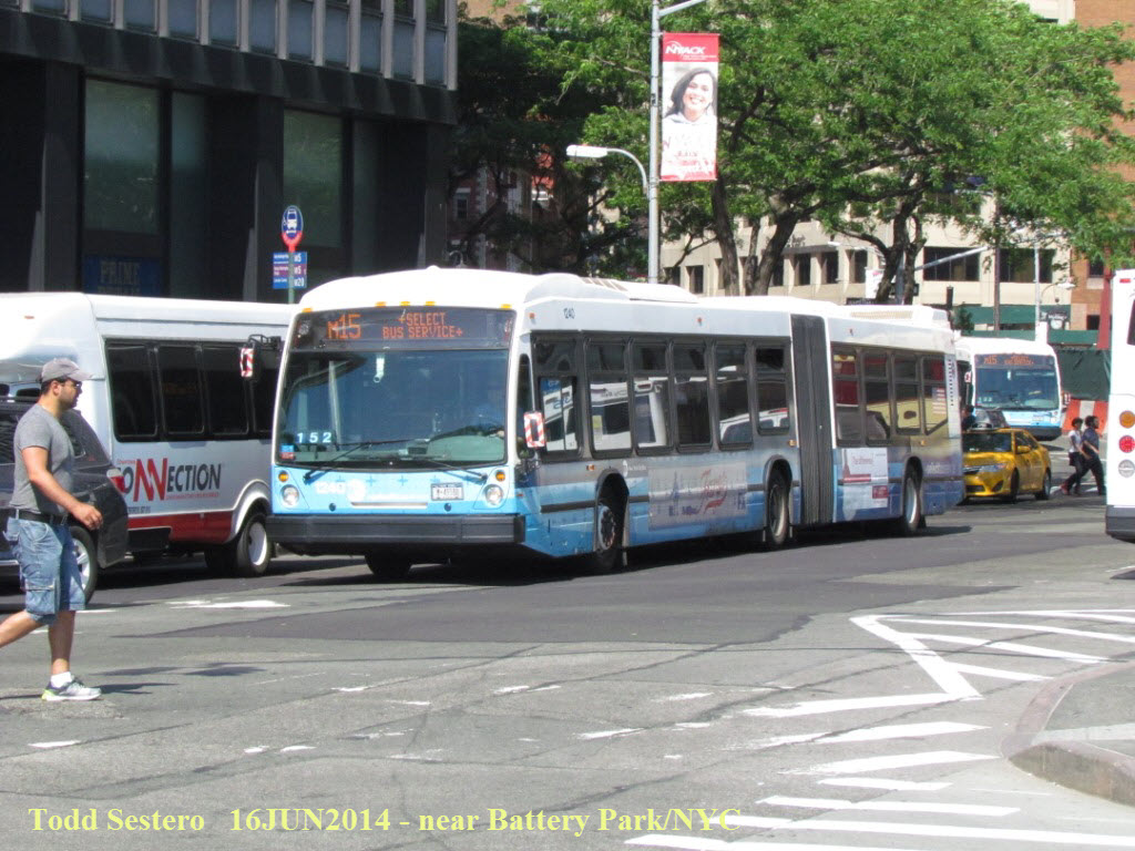 Gotta have at least a couple of bus pictures in here :-)


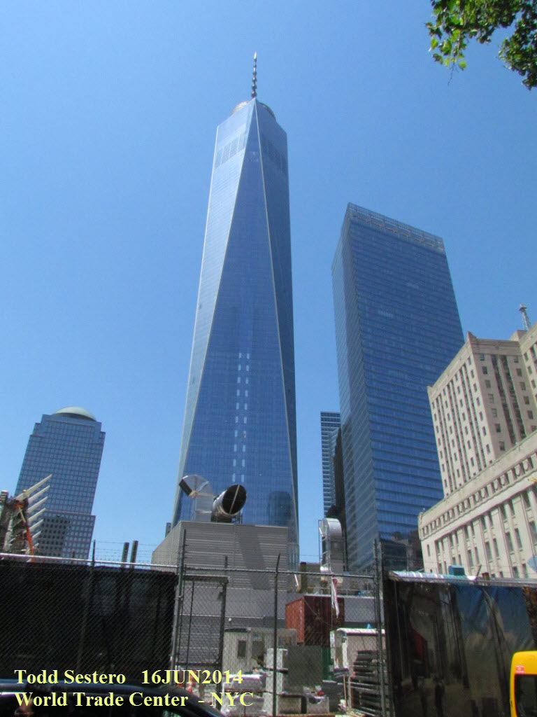
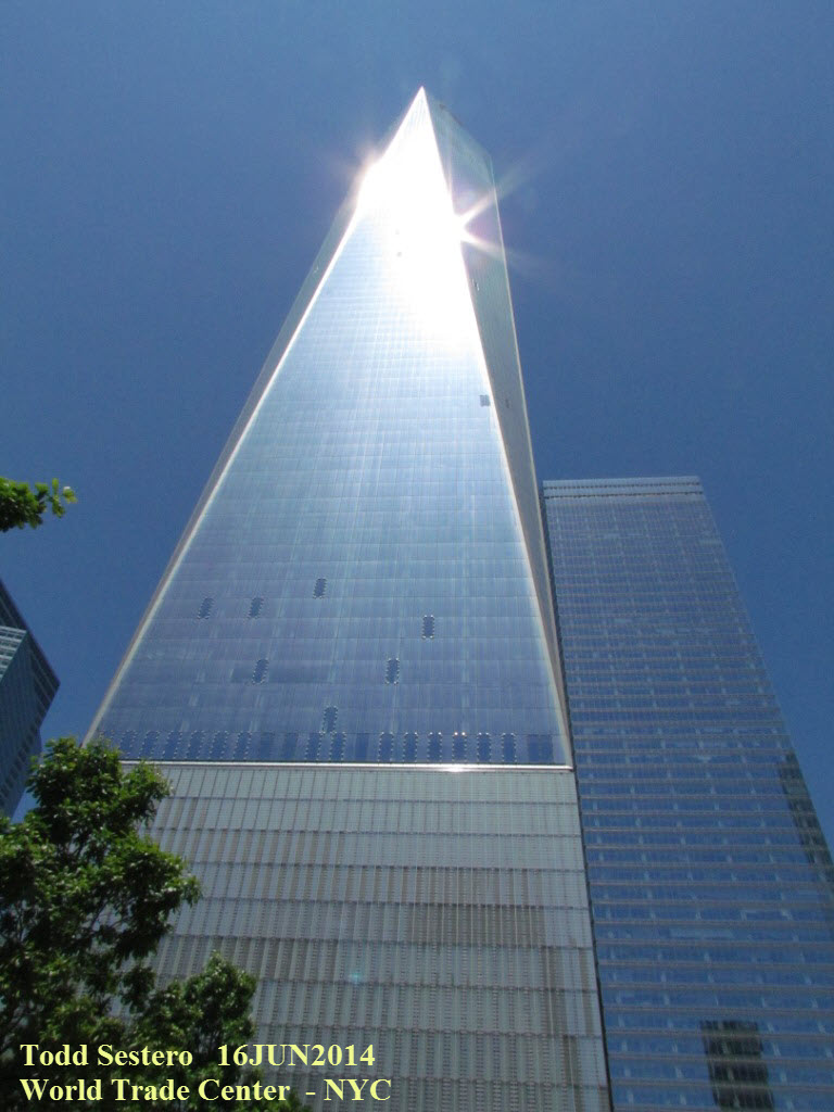

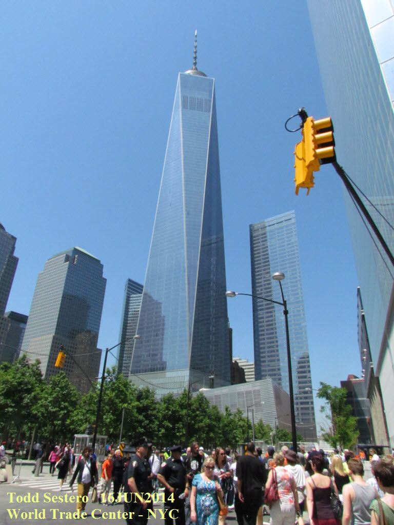
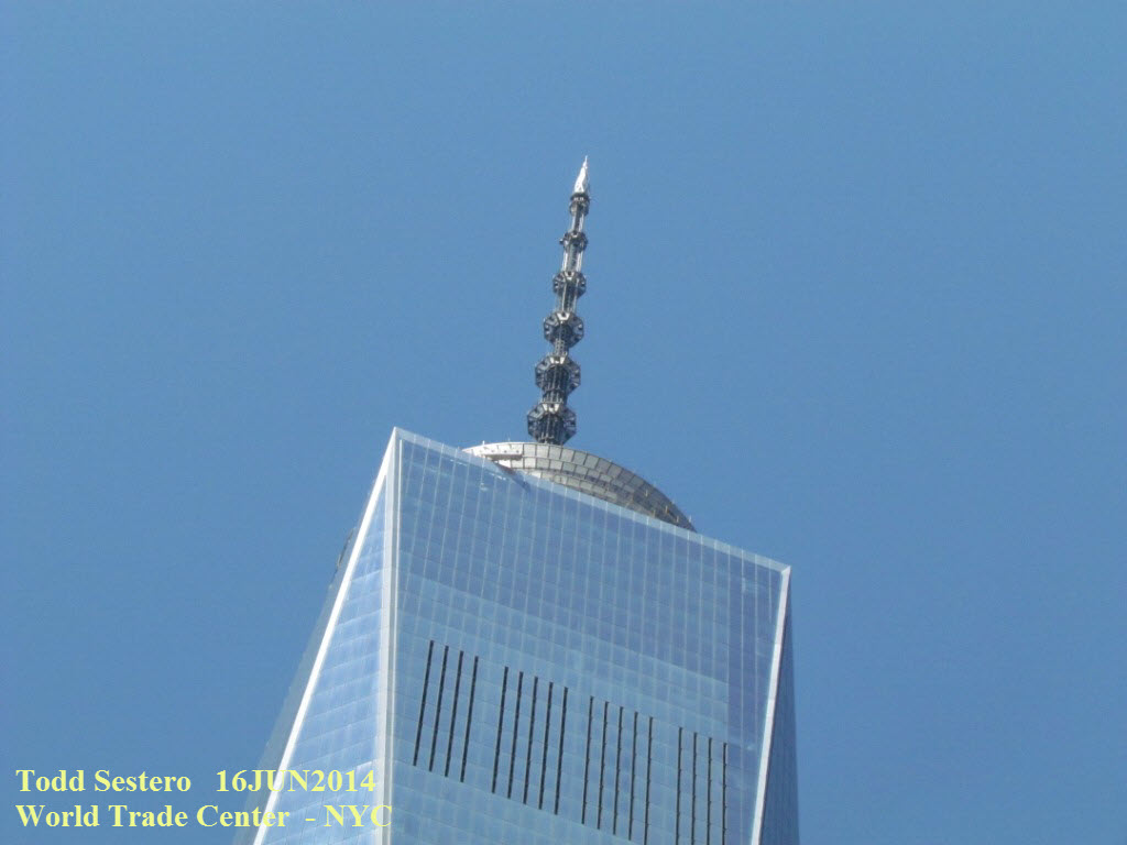
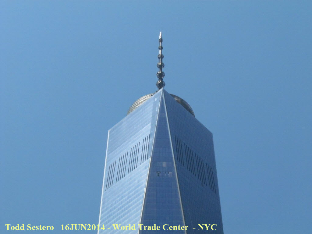
 The new 1 WTC Plaza building, as of June 2014, not open yet.
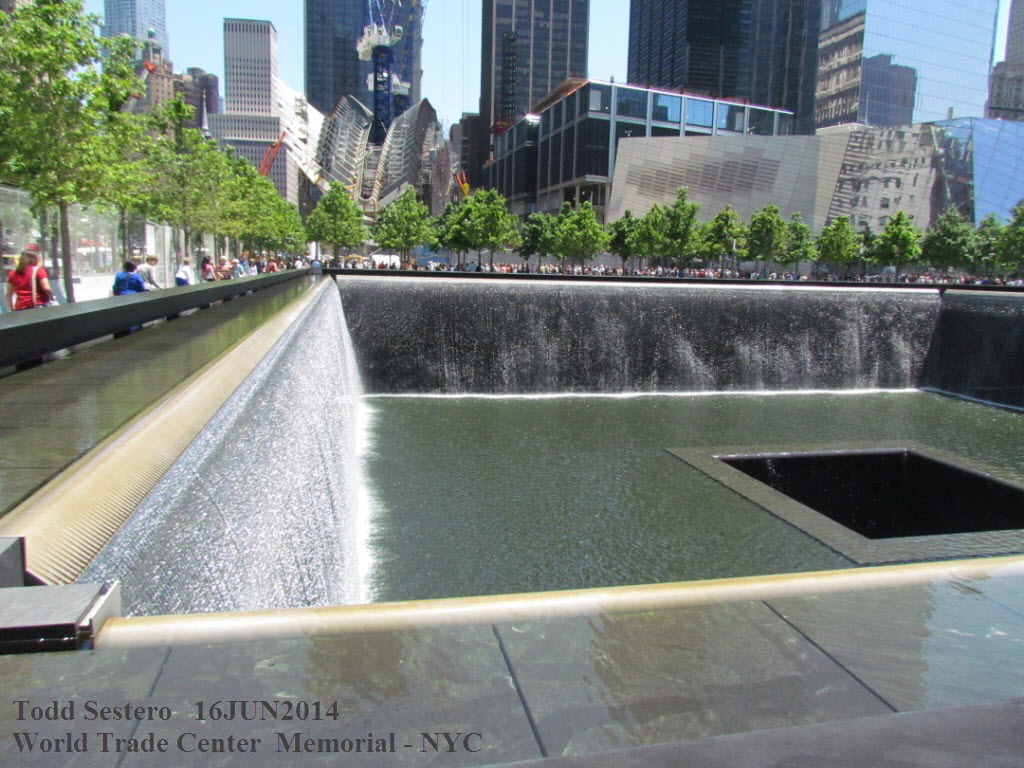
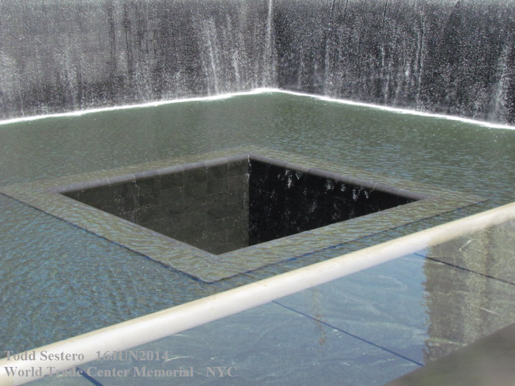
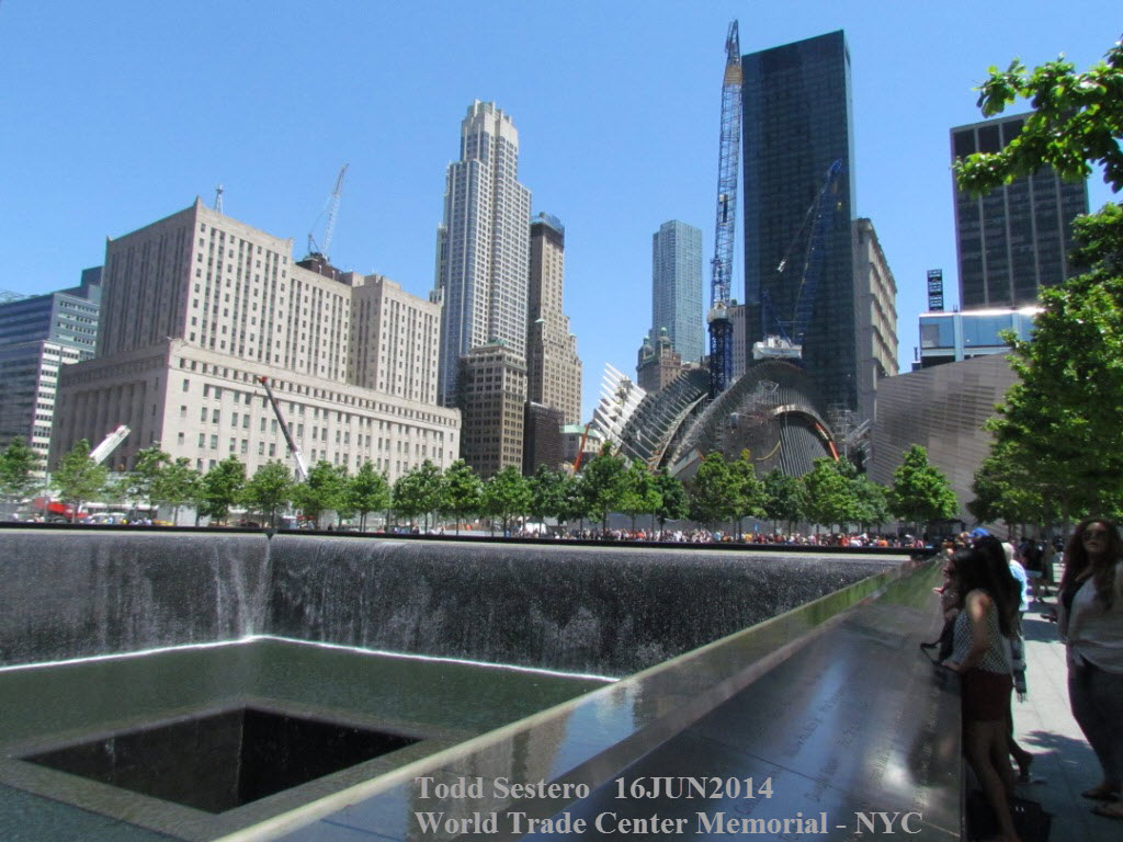

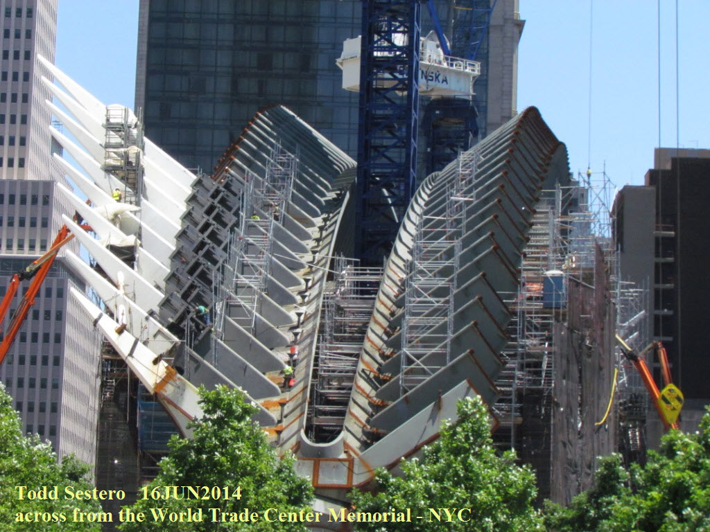
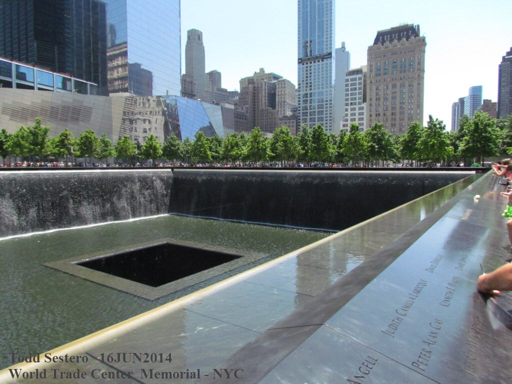
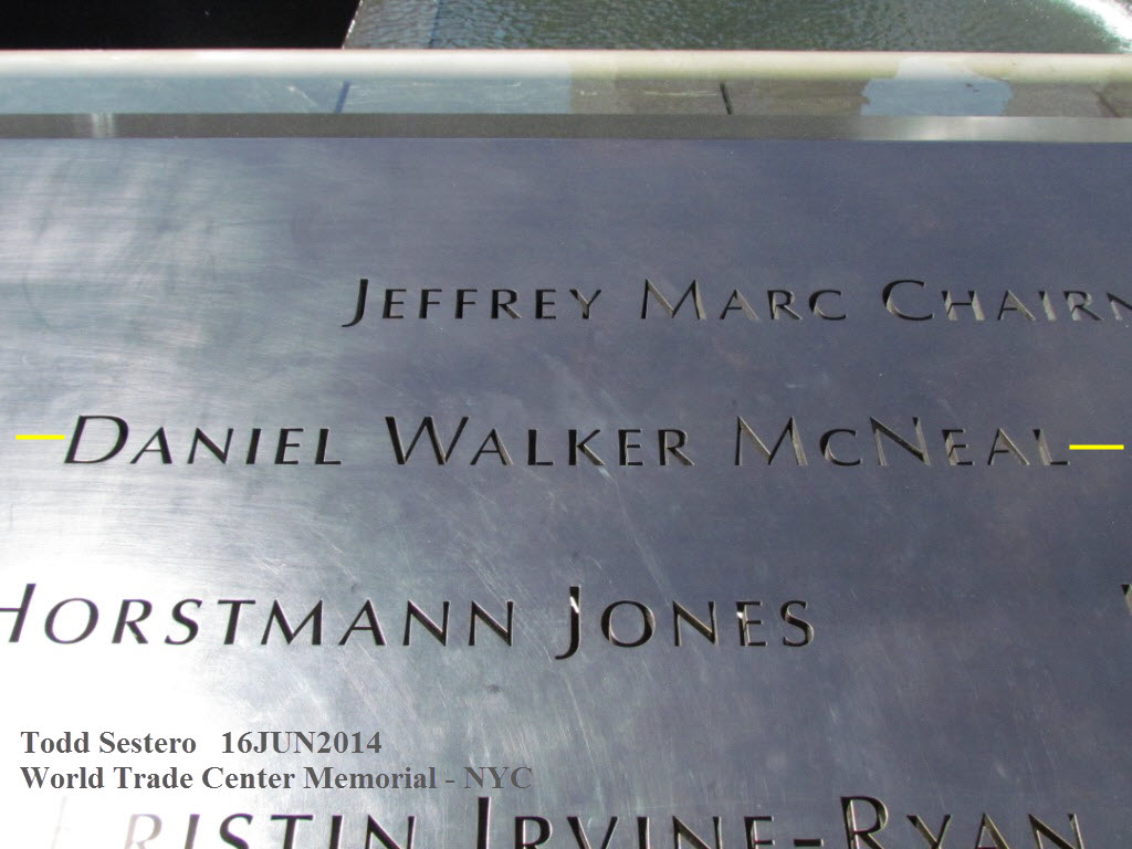
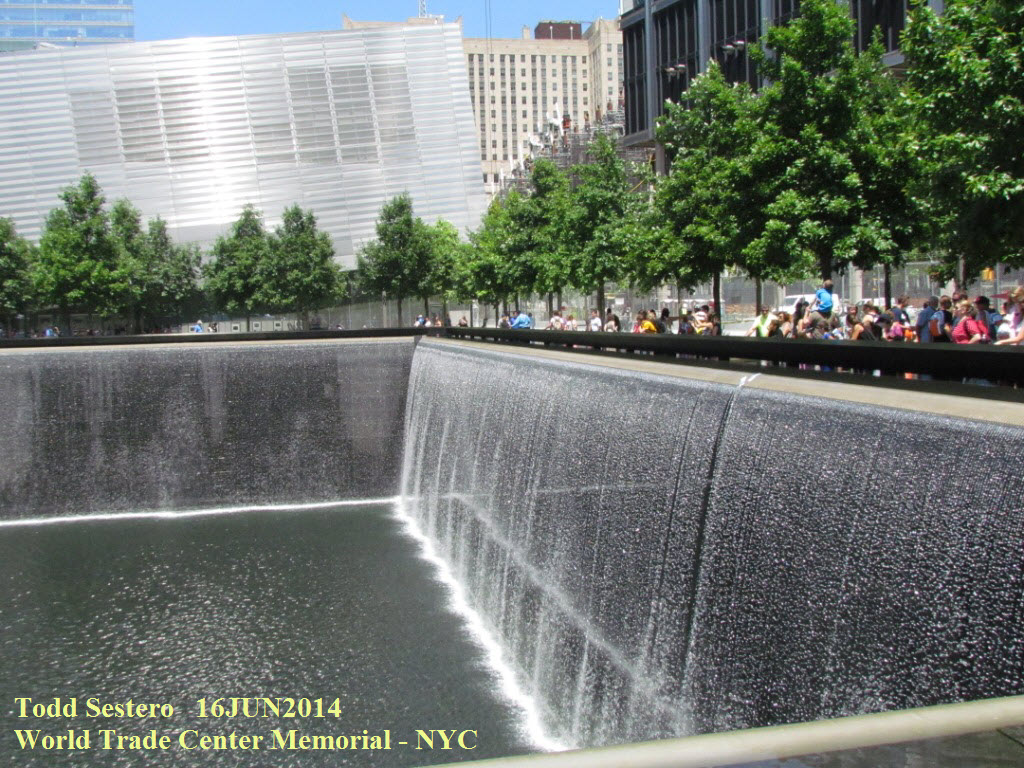 The World Trade Center Memorial, and a tribute to our
neighbor a few doors down our street.
The World Trade Center Memorial, and a tribute to our
neighbor a few doors down our street.
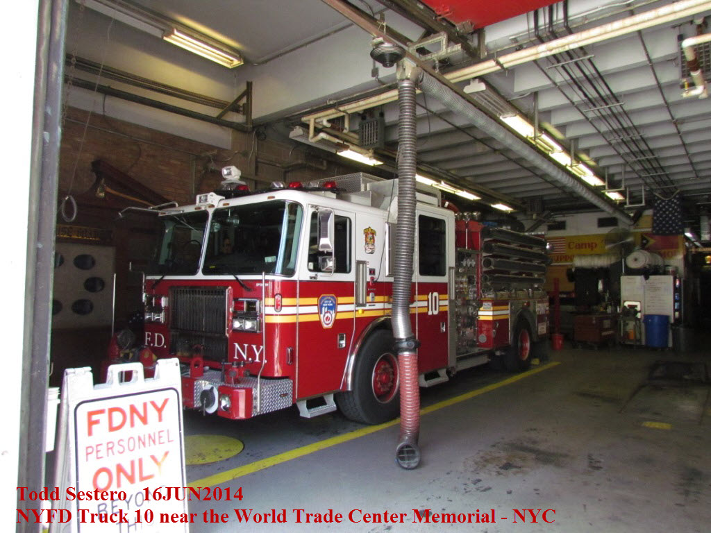
 Fire station and memorial plaque to the NYFD firefighters.
 Tunnel entrance to Brooklyn.
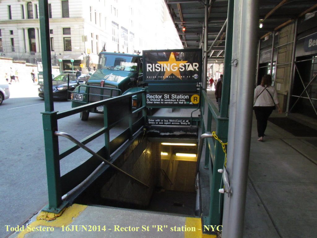


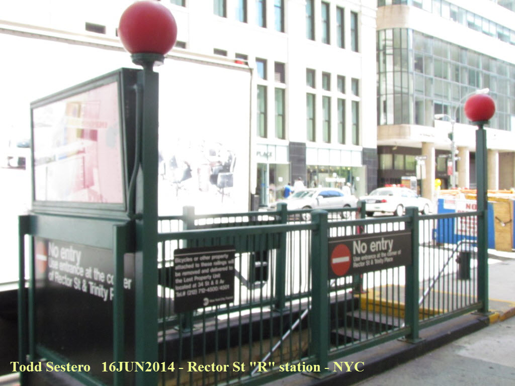
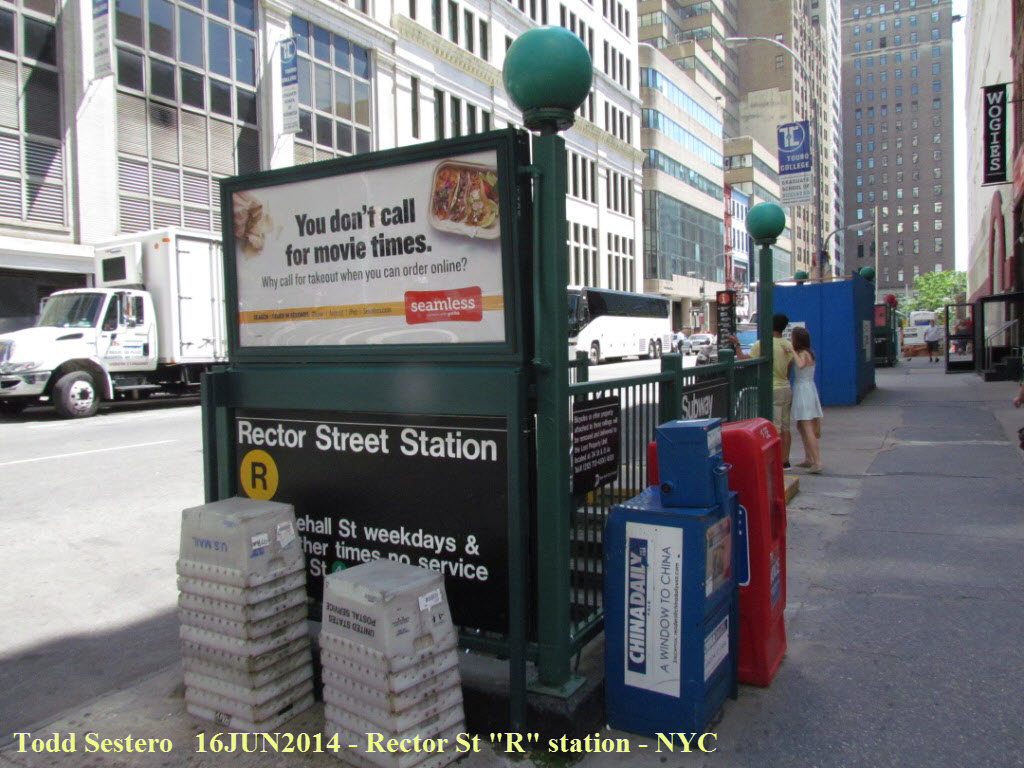
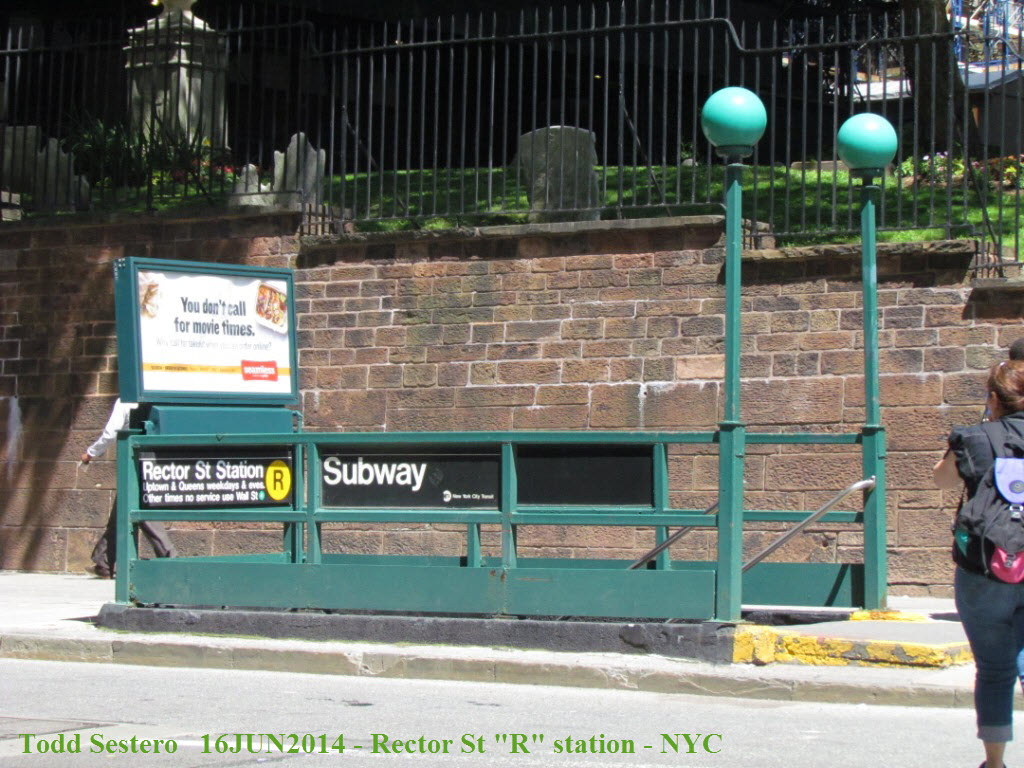
 For some reason, the Rector St "R" station appears to have a lot of entrances.

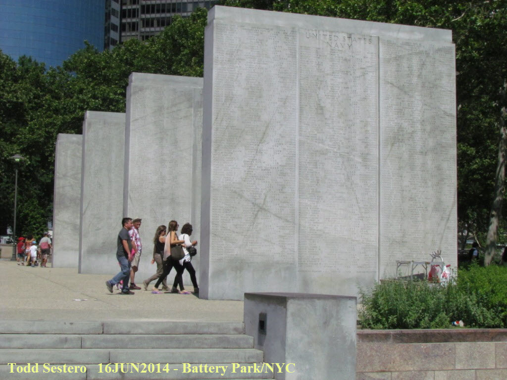

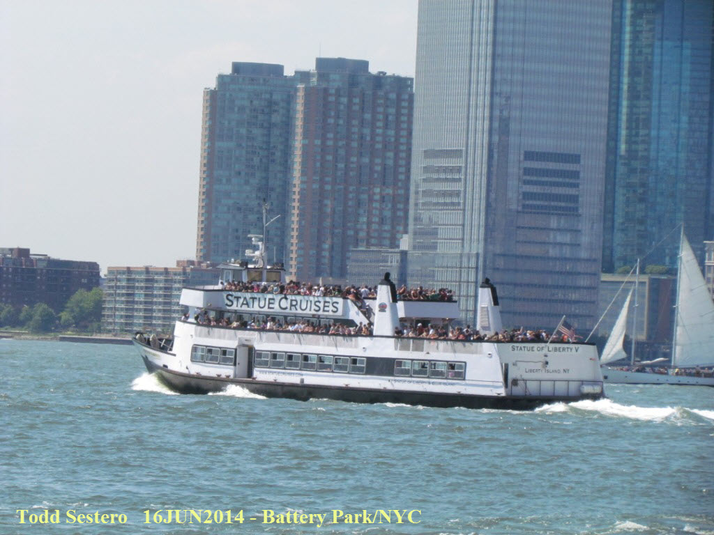
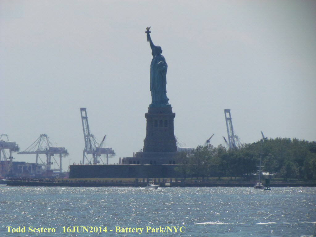 Scenes from Battery Park.
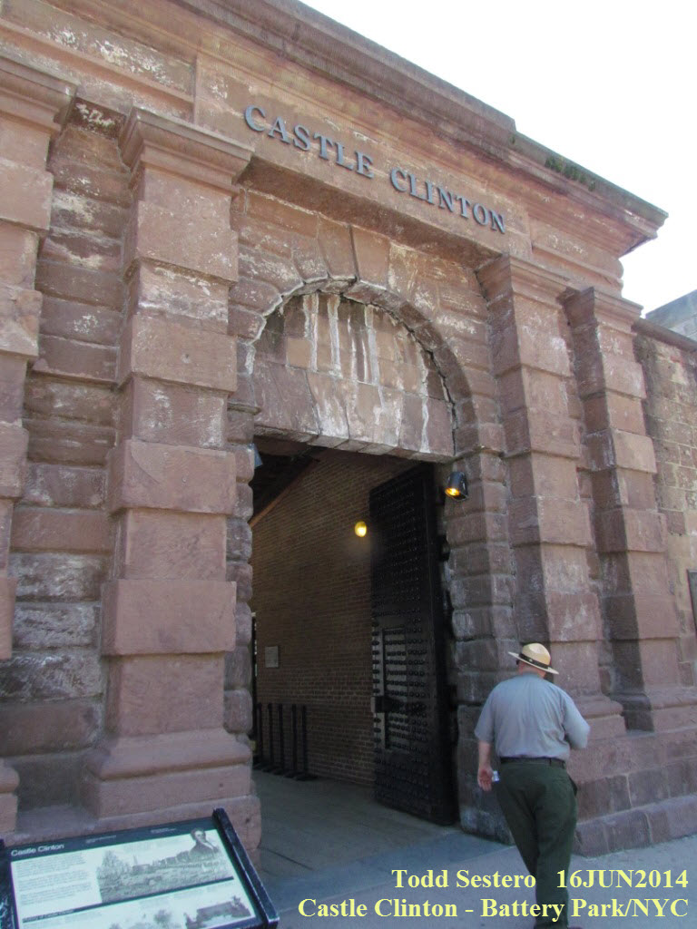
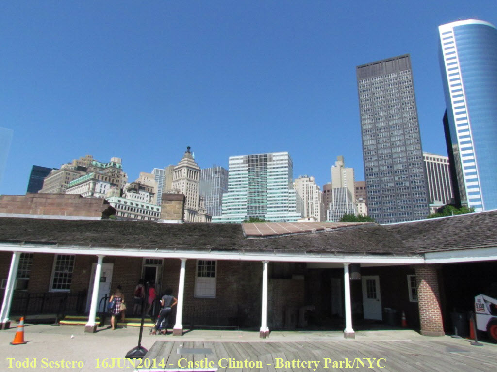
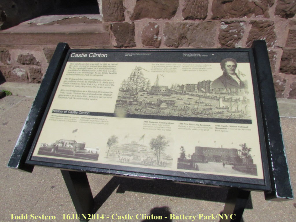
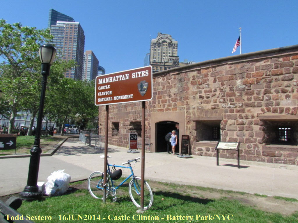 Castle Clinton, part of the National Park System.
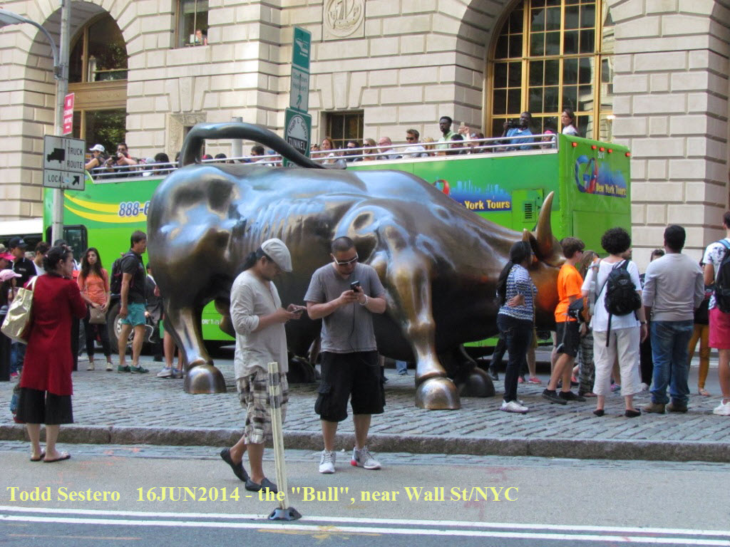
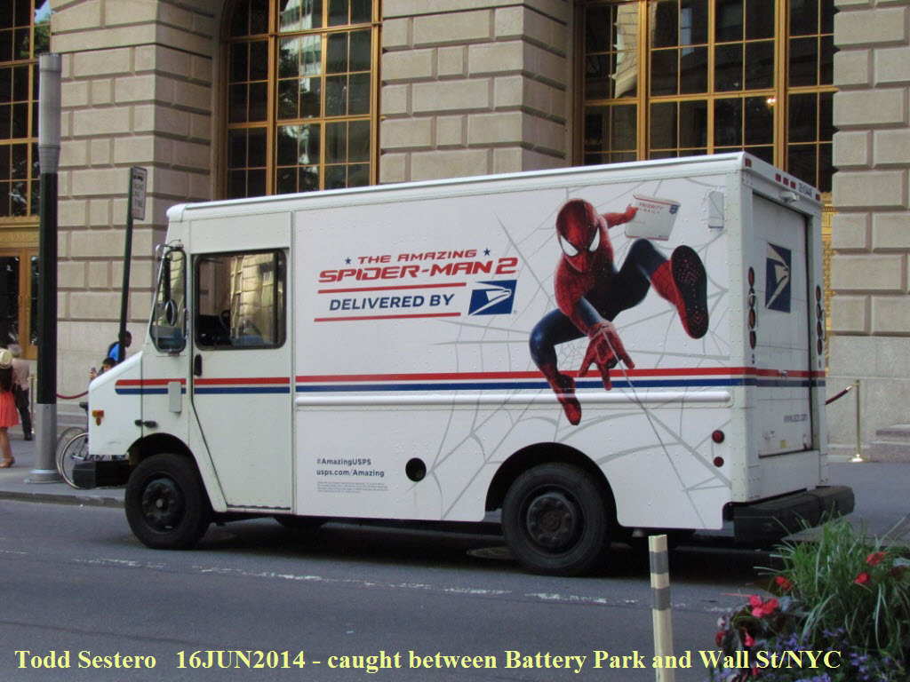
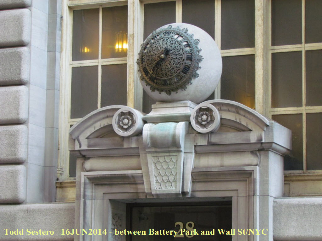
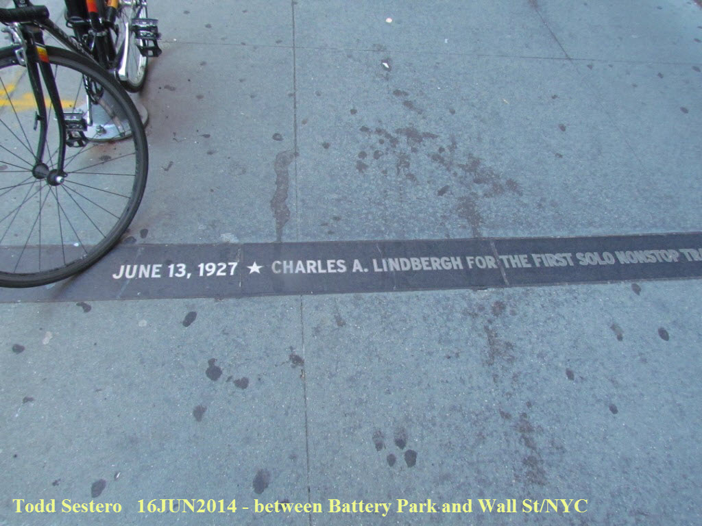 Various and assorted items seen along the way.... On one of the streets around
the "Bull", the city has installed historical markers into the sidewalk.
Various and assorted items seen along the way.... On one of the streets around
the "Bull", the city has installed historical markers into the sidewalk.
We jumped on an "R" train at Rector St, then at 14th St/Union Square, transferred to an IRT "5" train to Grand Central, and took an IRT #7 from there to Queensboro Plaza, where we walked to the hotel. We didn't know which was shorter, from there or the 39th Ave station, but found out the hard way :-)
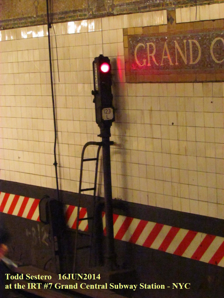
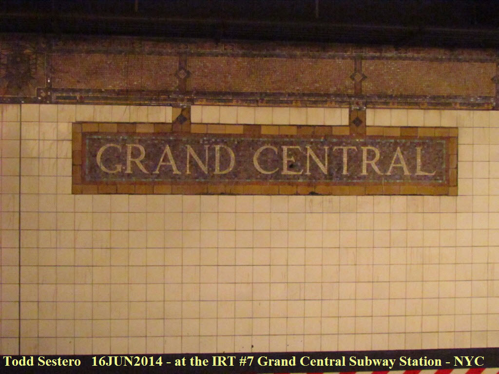
 Stuff at the Grand Central and the Hunters Point stations.
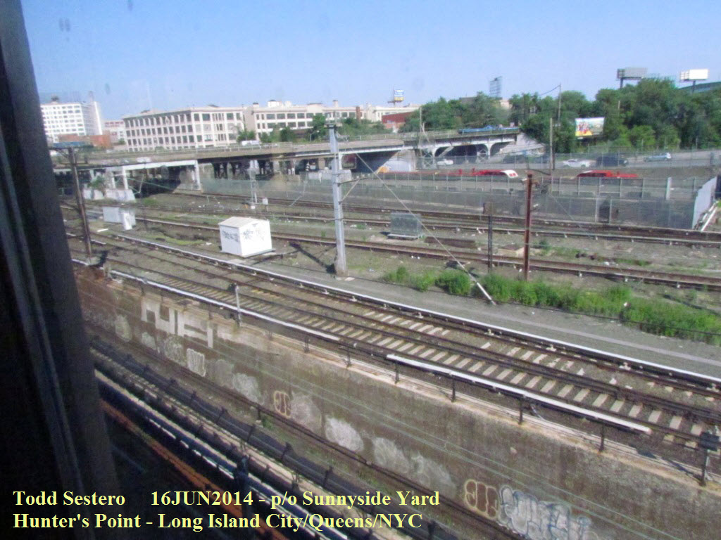 After coming above ground at Vernon Blvd/Jackson Ave, and
passing Hunter;s Point, the EL curves to the left alongside Sunnyside Yard.
You can transfer to the LIRR at Hunter's Point.
After coming above ground at Vernon Blvd/Jackson Ave, and
passing Hunter;s Point, the EL curves to the left alongside Sunnyside Yard.
You can transfer to the LIRR at Hunter's Point.
 At Queensboro Plaza.
 The hotel we stayed at, Four Points Sheraton, about 3
blocks from the 39th Ave Astoria line subway EL station. In 2014, the
hotel is only 3 years old, the room ran ~$235, much less than staying in
Manhattan. Nice restaurant to boot with reasonable prices (especially
considering it's NYC)!
The hotel we stayed at, Four Points Sheraton, about 3
blocks from the 39th Ave Astoria line subway EL station. In 2014, the
hotel is only 3 years old, the room ran ~$235, much less than staying in
Manhattan. Nice restaurant to boot with reasonable prices (especially
considering it's NYC)!
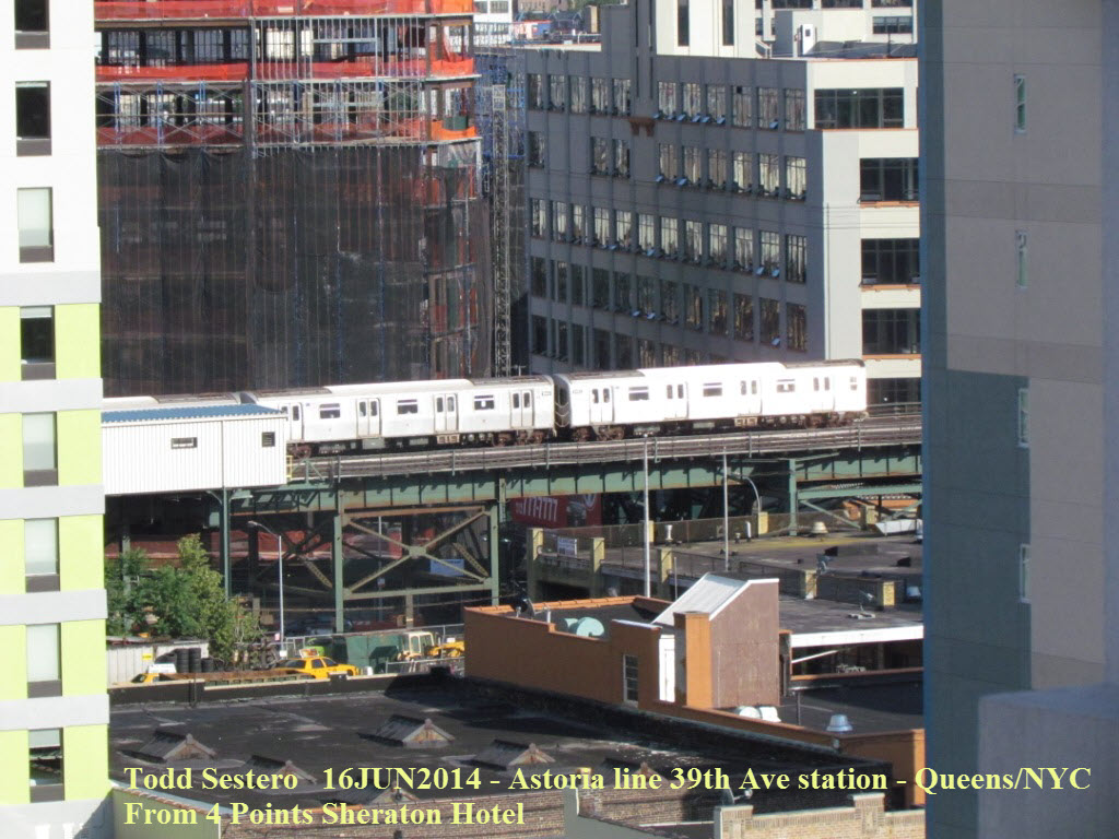
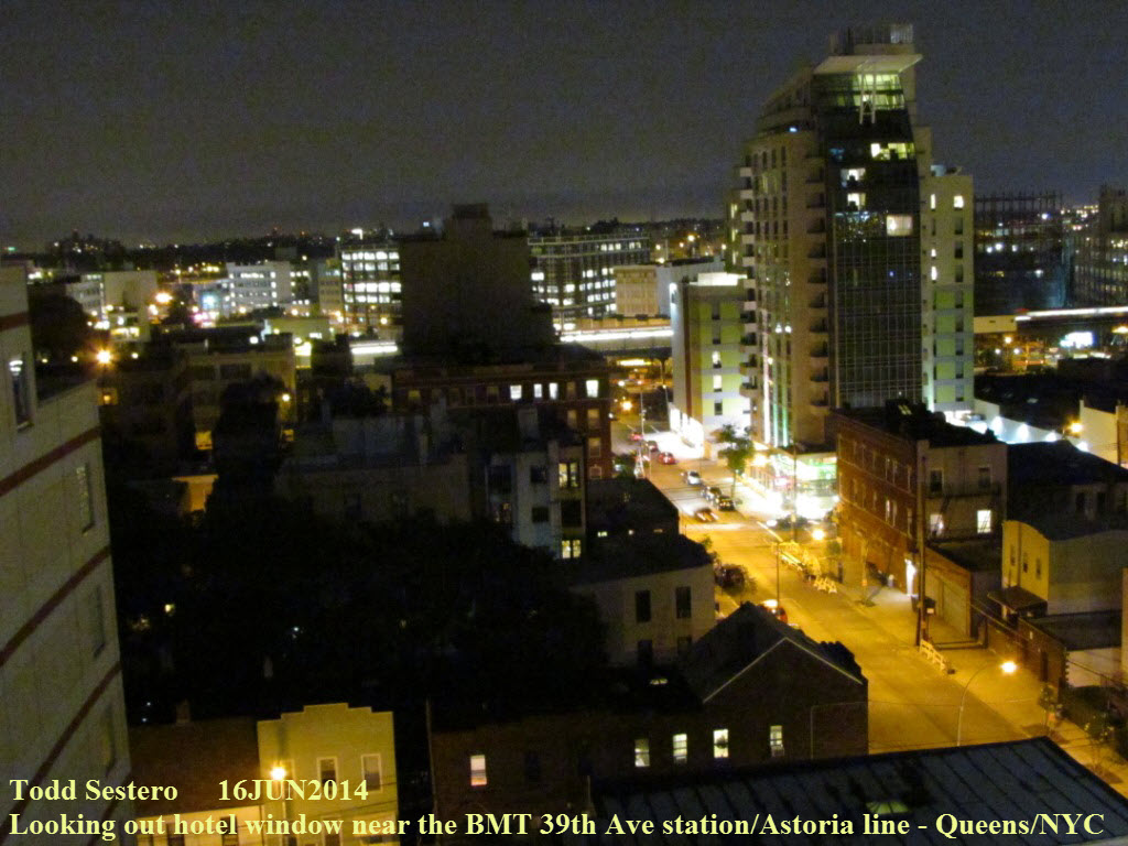
 Pictures from the 10th floor of the hotel. SLR guys
usually snub their nose at my Canon SX30, but Canon has done a magnificent job
with this camera! I think it does just fine for its price, besides, I
don't have to have the best quality pictures for my website, and I don't have to
lug around a bag full of lenses when this one handles everything from zero
distance macro to x36 optical zoom, and up to x140 digital zoom.
Pictures from the 10th floor of the hotel. SLR guys
usually snub their nose at my Canon SX30, but Canon has done a magnificent job
with this camera! I think it does just fine for its price, besides, I
don't have to have the best quality pictures for my website, and I don't have to
lug around a bag full of lenses when this one handles everything from zero
distance macro to x36 optical zoom, and up to x140 digital zoom.
Monday June 16th - Late Afternoon Trip to Times Square
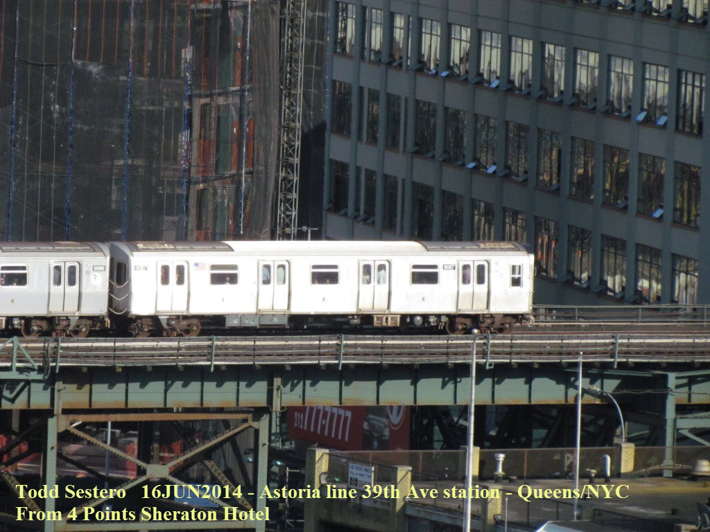
 A "Q" or "R" train going around the bend between 39th Ave and
Queensboro Plaza. The end of this line lies directly under
Hell Gate Bridge.
A "Q" or "R" train going around the bend between 39th Ave and
Queensboro Plaza. The end of this line lies directly under
Hell Gate Bridge.

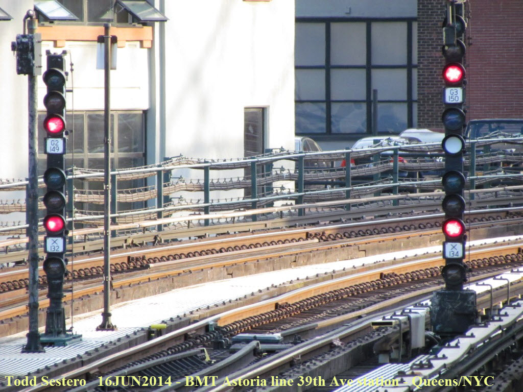
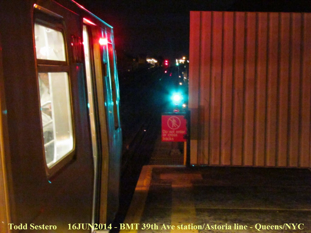
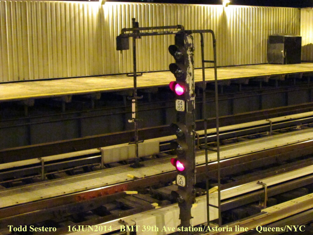
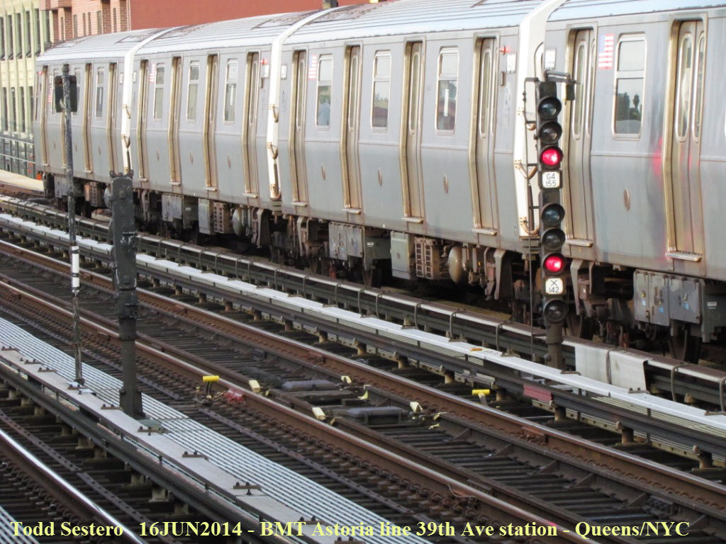 Signal shots from the 39th Ave station platform.
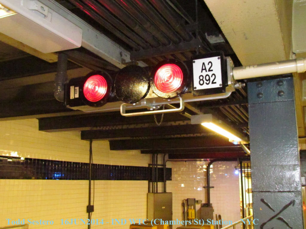
 What is known as a "2 shot" signal.
 More info
here.
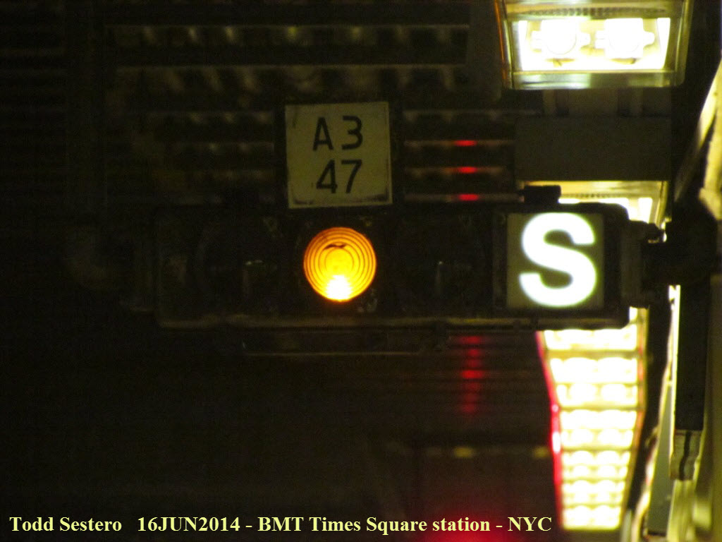
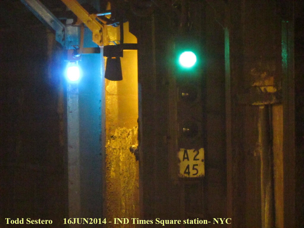
I believe I found this one at BMT Times Square station.
More info
here.
I believe I found this one at BMT Times Square station.
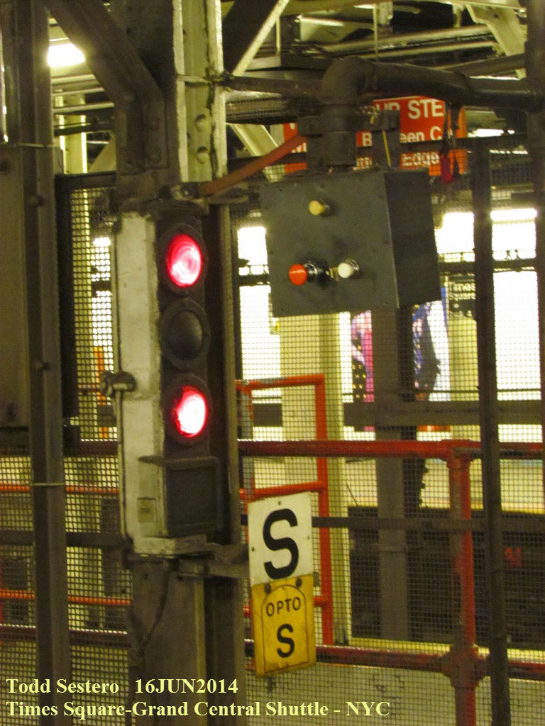
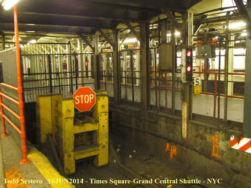 The Times Square end of the one of the Times Square to Grand
Central Station shuttles.
The Times Square end of the one of the Times Square to Grand
Central Station shuttles.
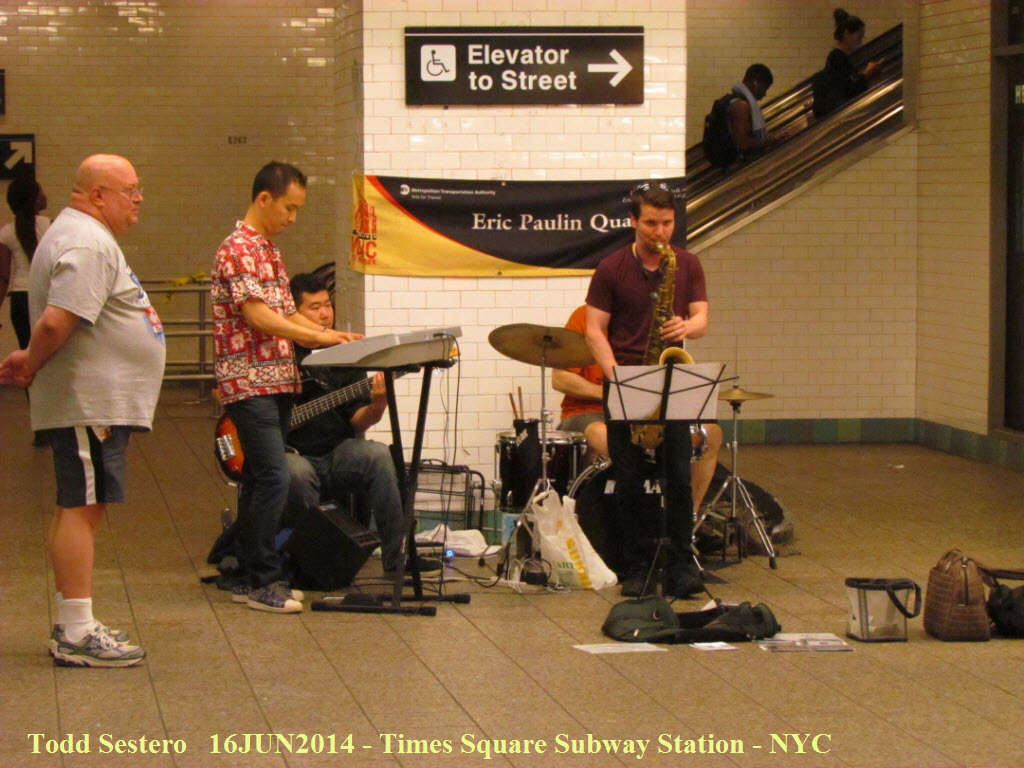 I have never passed by here in recent times when there wasn't a band playing...
don't stand and watch for too long, or they want money :-)
I have never passed by here in recent times when there wasn't a band playing...
don't stand and watch for too long, or they want money :-)

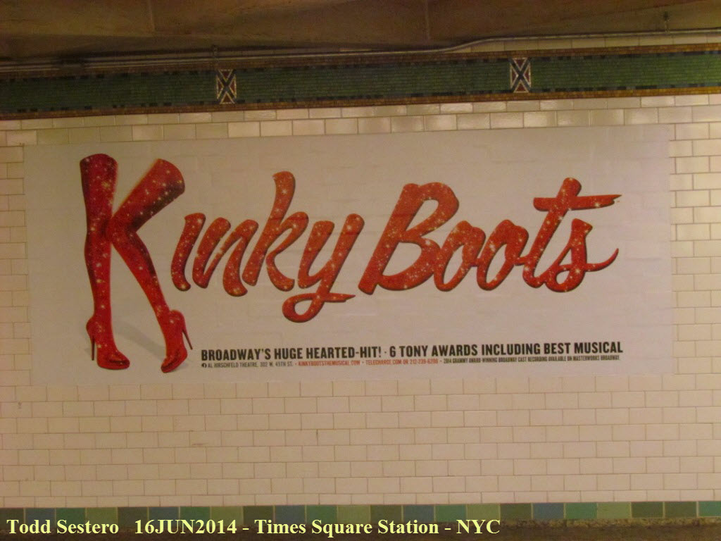
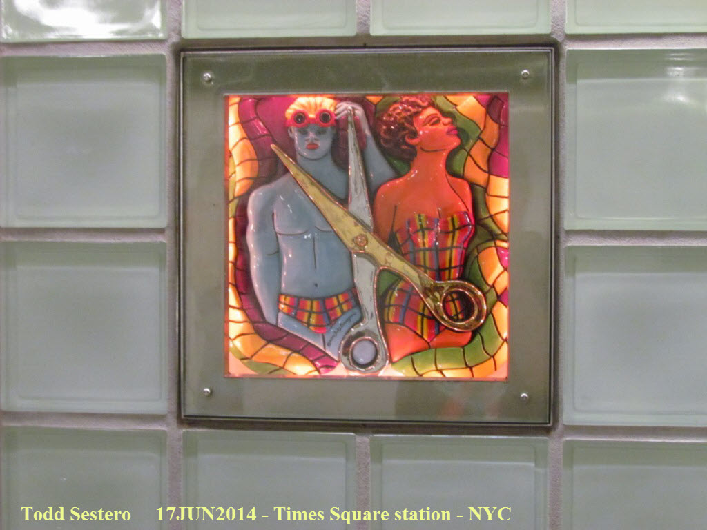
 Times Square being what it is, Kinky Boots seems to be all over the station!
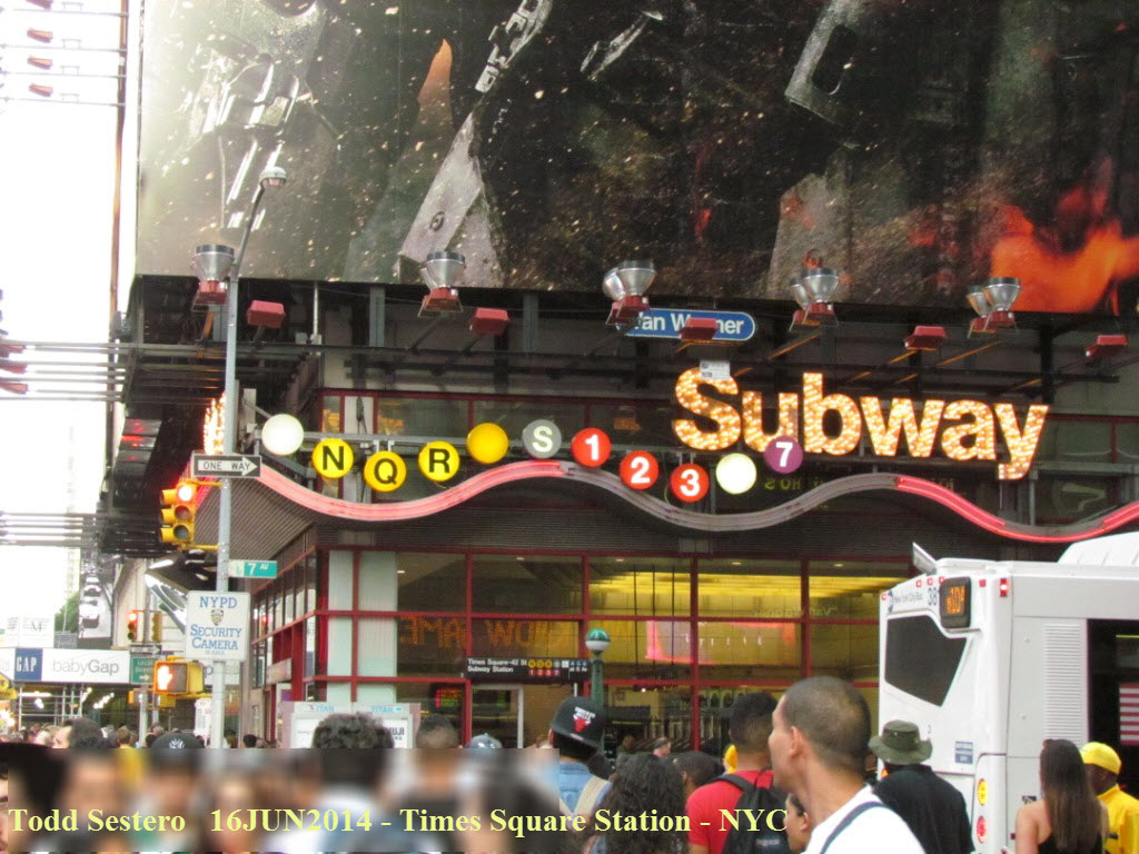
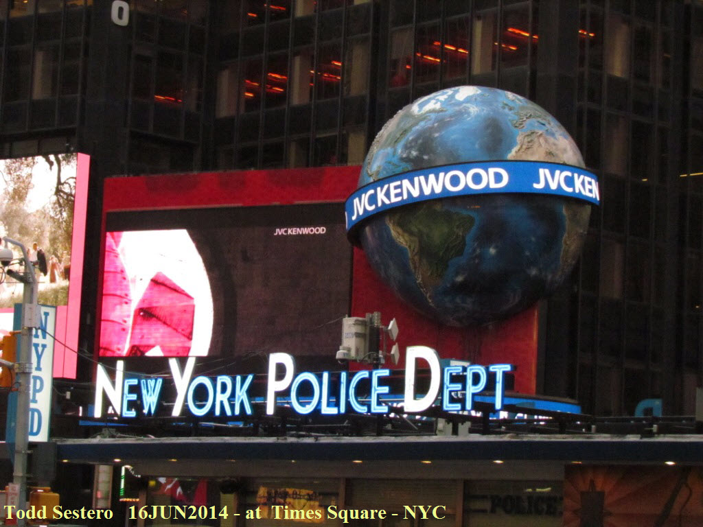
 Even the MTA gets into the "Times Square" mood with the station fronts!
:-) The one on the left is animated.
Even the MTA gets into the "Times Square" mood with the station fronts!
:-) The one on the left is animated.
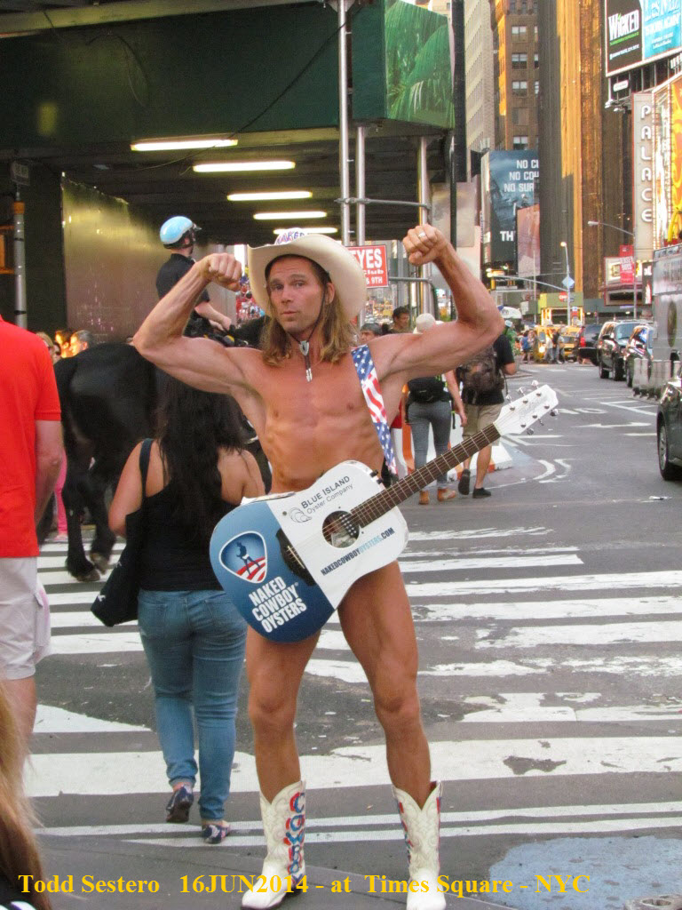 The "Naked Cowboy" at Times Square is a New York icon, and deserves special
mention, because he is supposedly out here all year long like this, gotta come
back in February to see if that is true! :-) More at:
http://www.nakedcowboy.com/
The "Naked Cowboy" at Times Square is a New York icon, and deserves special
mention, because he is supposedly out here all year long like this, gotta come
back in February to see if that is true! :-) More at:
http://www.nakedcowboy.com/
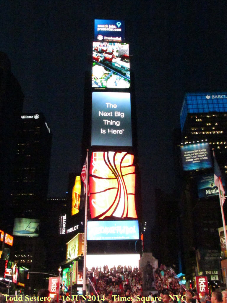

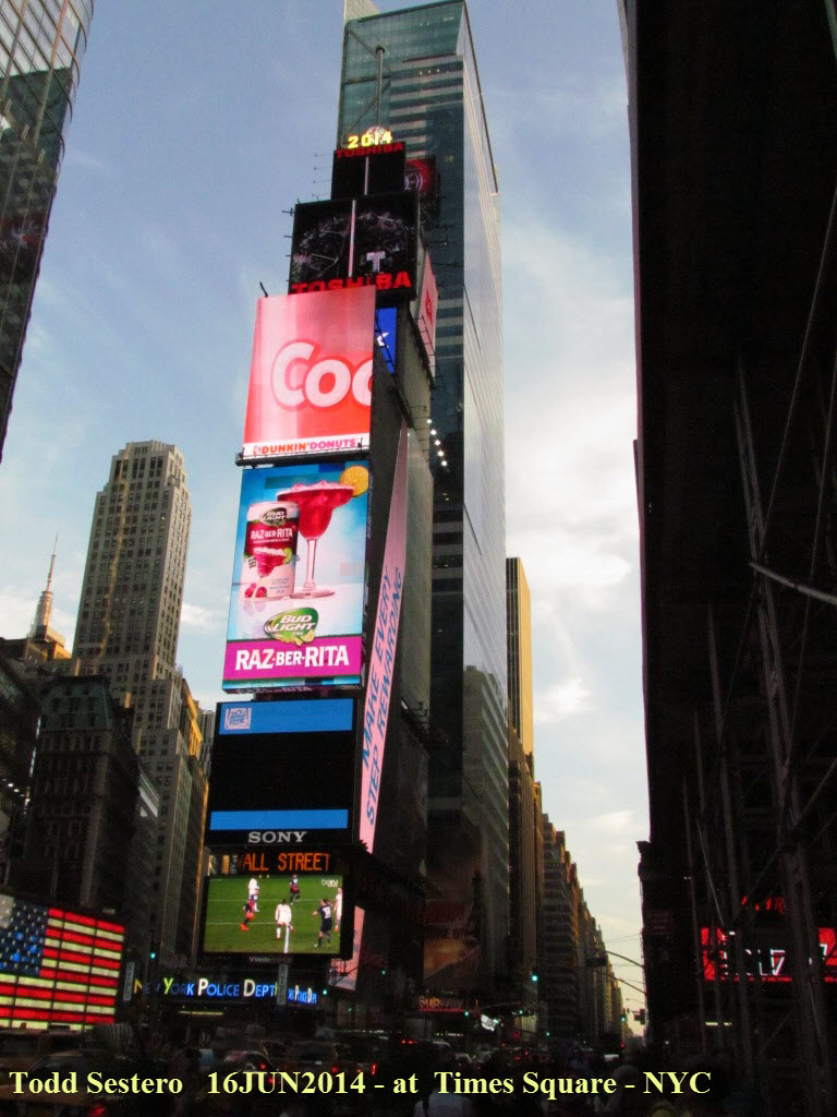


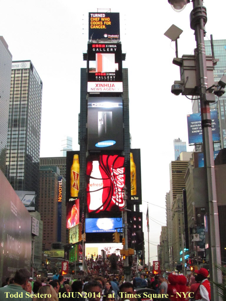


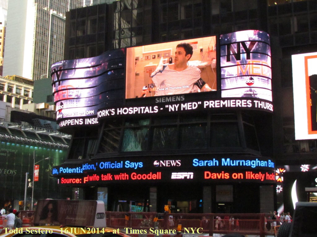

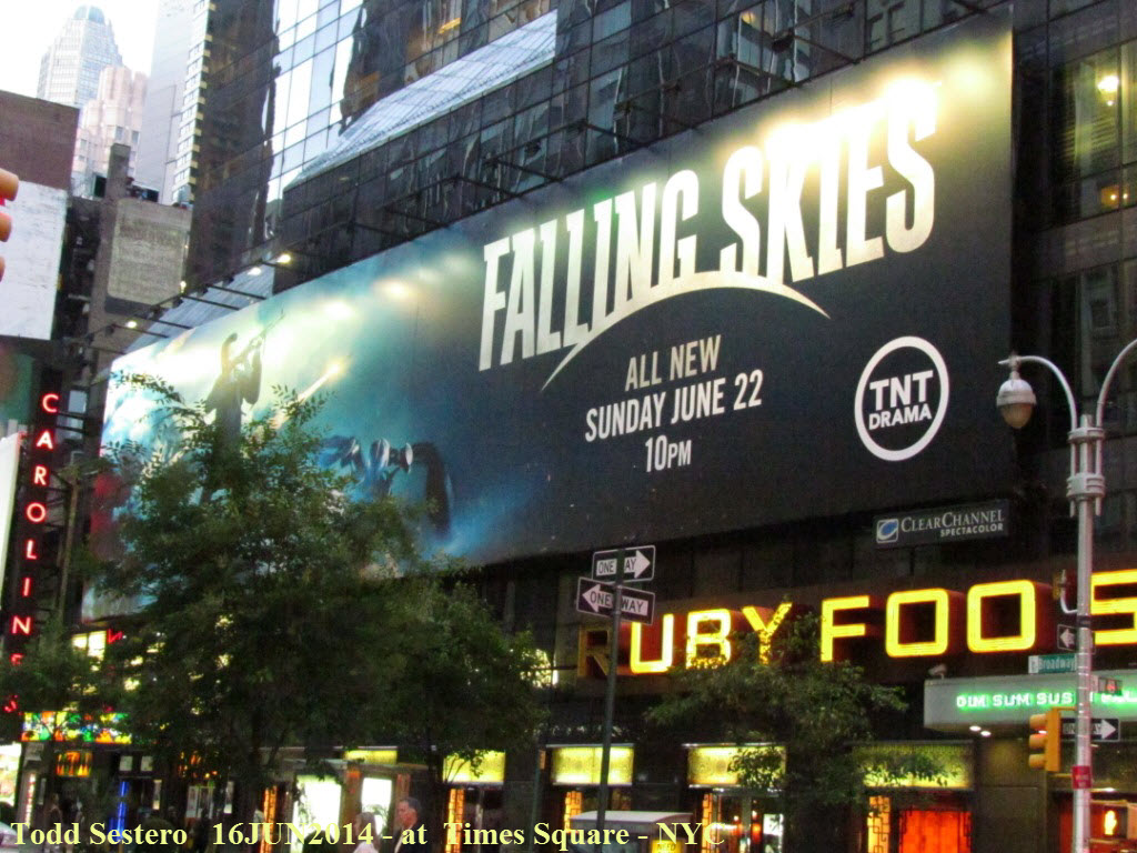
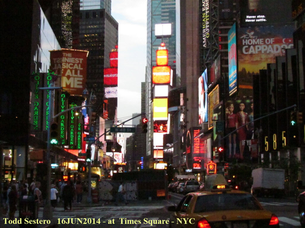
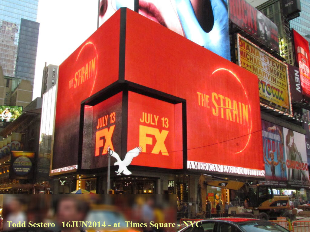
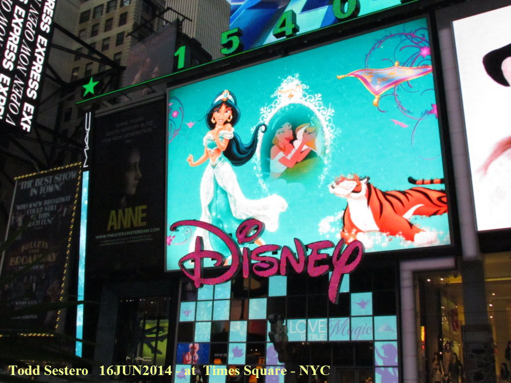
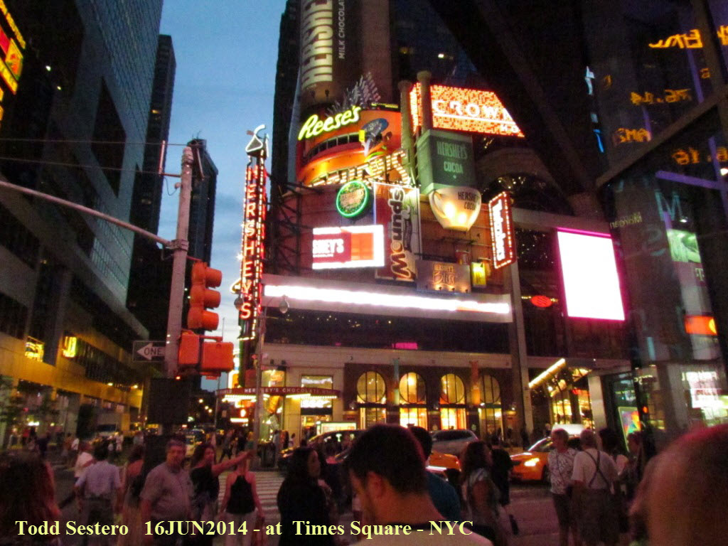
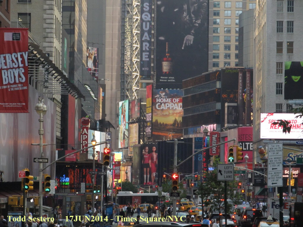
Pictures from Times Square. They have a viewing
stand set up all year long so that you can watch everything happening. The
"light bulb" displays of the 40 and 50's had their charm, but these giant
"jumbo-trons" are noting short of fantastic. I would like to be around in
a 100 or 200 years to see what technology does with them then!
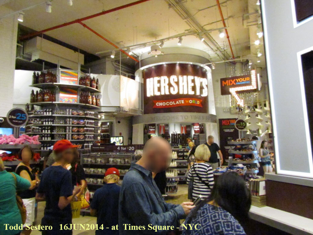
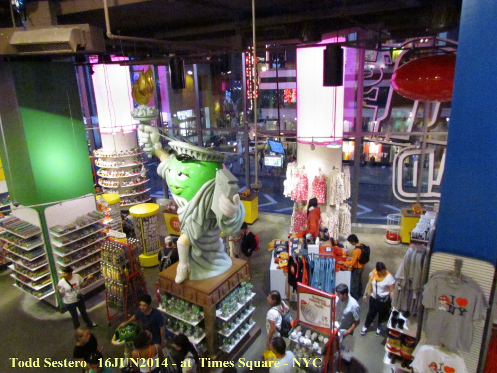
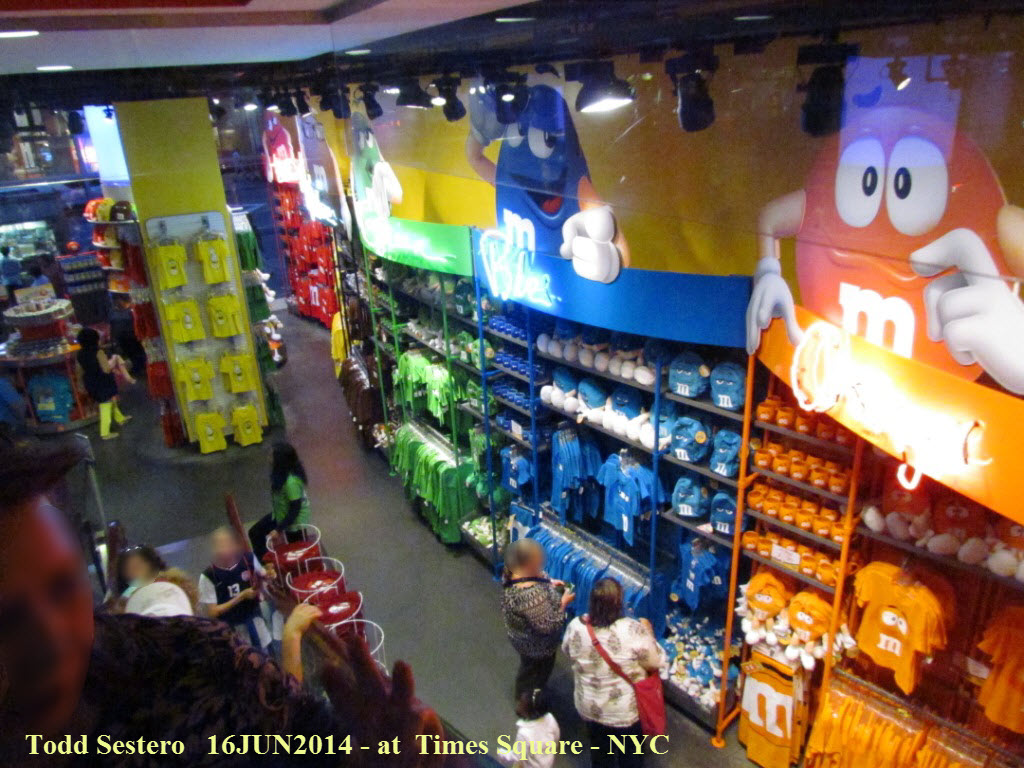 Hershey's and M&M's have huge candy stores at Times Square, M&M's is 4 floors!
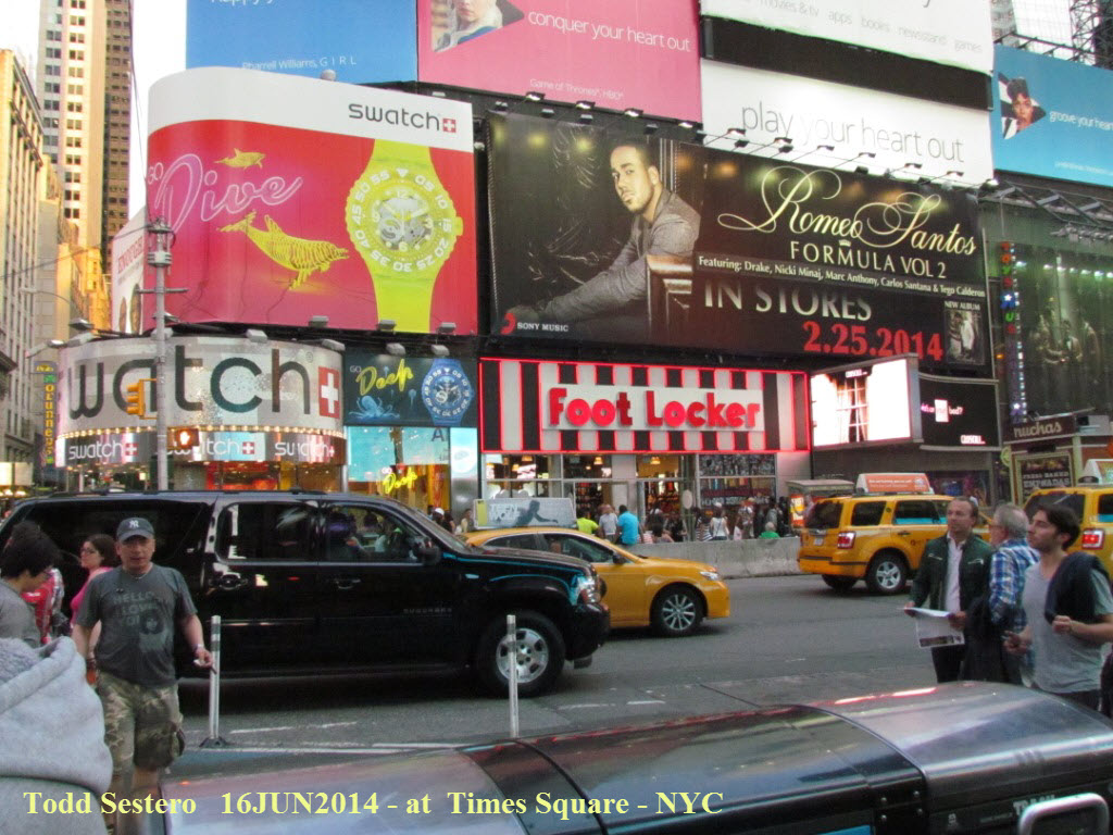
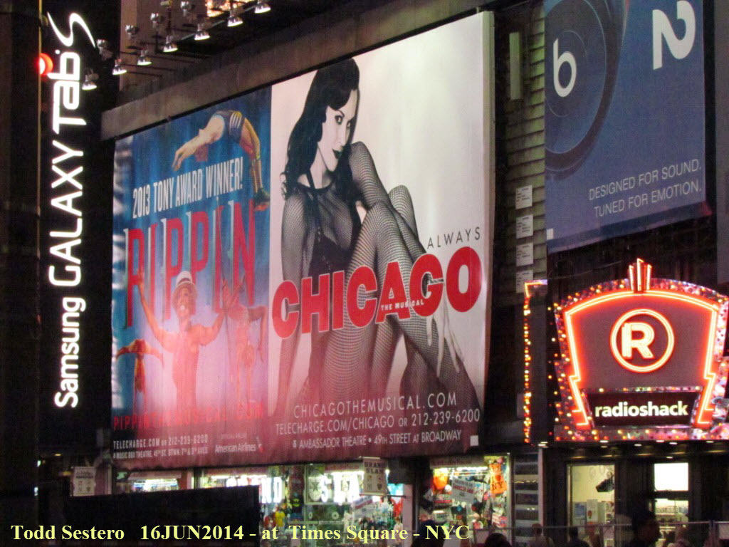
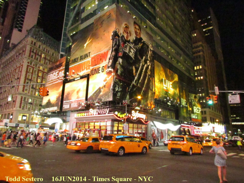 This is a frickin huge advertisement for Tom Cruise's new movie
The Edge of Tomorrow (I just wanna know why the
creature's ooze brought Tom Cruise back to the beginning of the war on the day
of his arrival in London?) Notice that all of the cars in the picture are
cabs!
This is a frickin huge advertisement for Tom Cruise's new movie
The Edge of Tomorrow (I just wanna know why the
creature's ooze brought Tom Cruise back to the beginning of the war on the day
of his arrival in London?) Notice that all of the cars in the picture are
cabs!
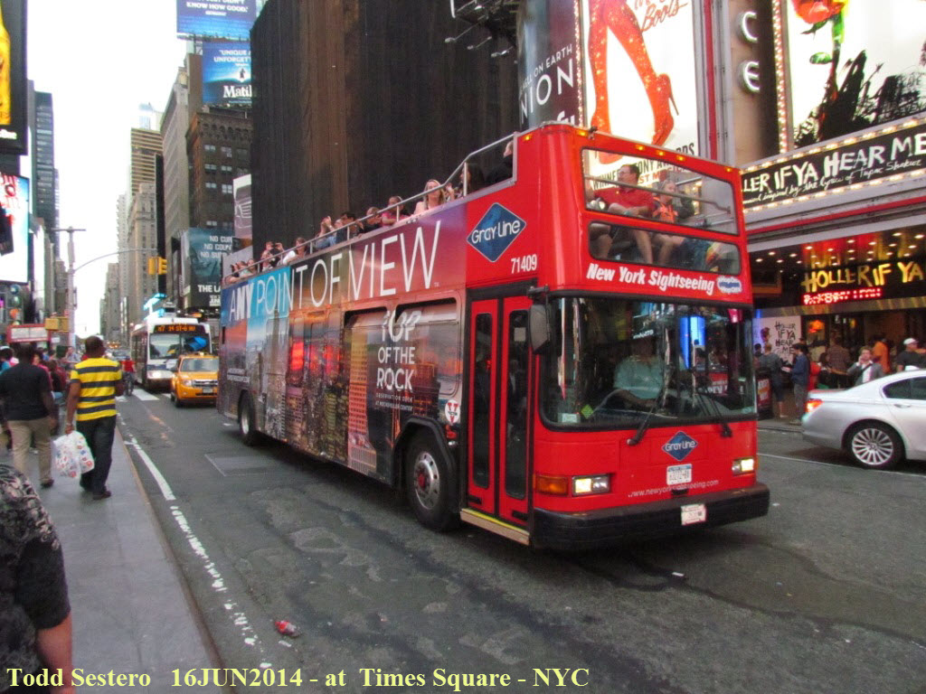 These sightseeing busses are all over the place, here, downtown, the Battery,
but they are not cheap, around $35 bucks per person for starters!
These sightseeing busses are all over the place, here, downtown, the Battery,
but they are not cheap, around $35 bucks per person for starters!
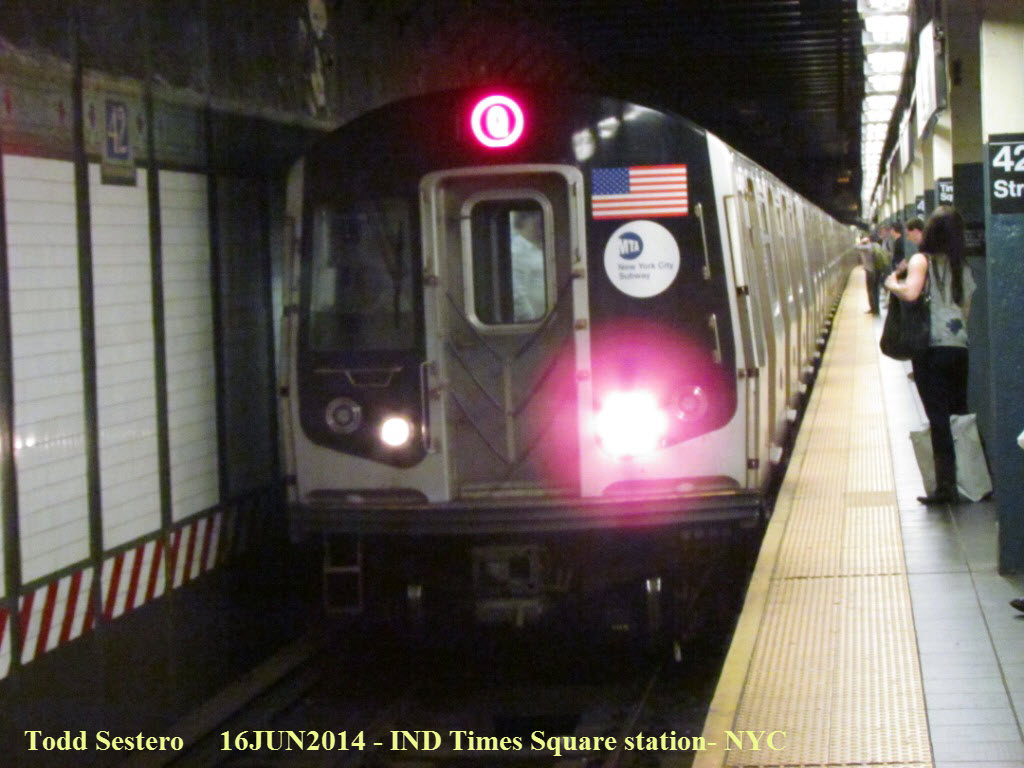 After a fun trip to Times Square, we head back to the hotel via a "Q" train.
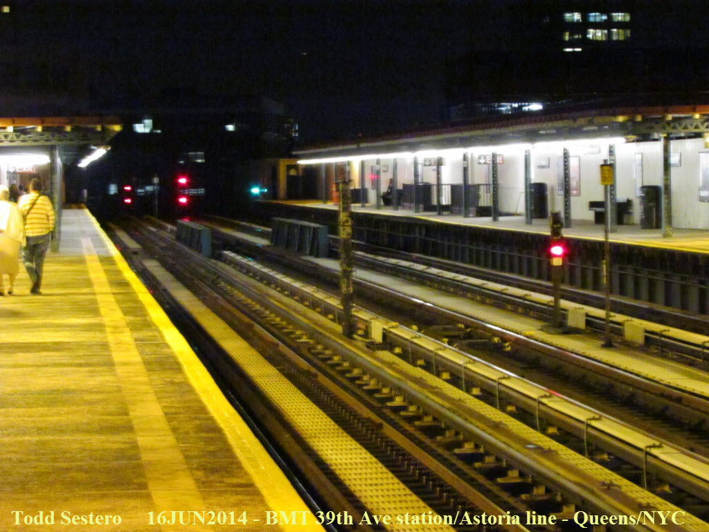
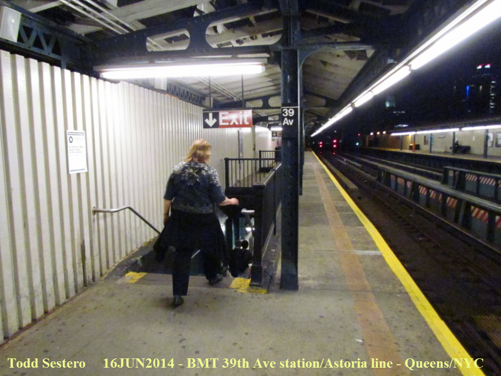
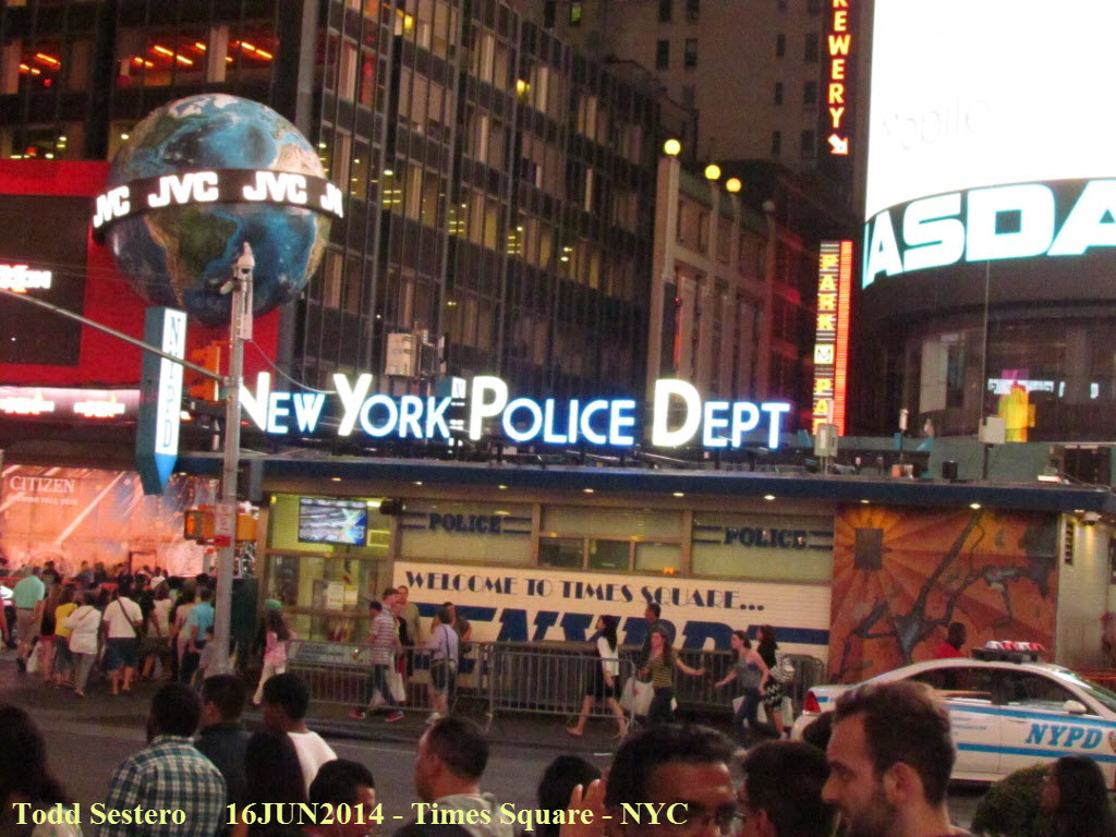
 The 39th Avenue station at night takes on a whole different personality.
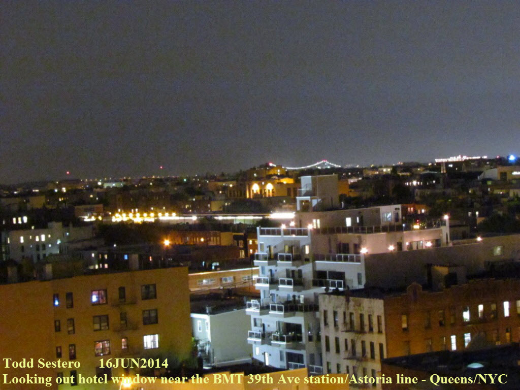
 Looking out of the hotel window, looking east. The bridge with the lights
in the far, far distance is the Whitestone Bridge
between the Queens and the Bronx.
Looking out of the hotel window, looking east. The bridge with the lights
in the far, far distance is the Whitestone Bridge
between the Queens and the Bronx.
Tuesday June 17th - Early Morning Trip to the Queensboro Courthouse
Got up around 6, and was out of the hotel shortly thereafter. I had an early morning mission that didn't include the wife. I wanted to go to the Queens courthouse, where they have what is known as a "Redbird" R-33 subway car on display. I wanted to get detail shots and dimensions off of the thing :-)
 I walked the 3 blocks over to the Astoria BMT line's 39th Street station, and I was lucky to catch one just as I got up to
the platform.
I walked the 3 blocks over to the Astoria BMT line's 39th Street station, and I was lucky to catch one just as I got up to
the platform.
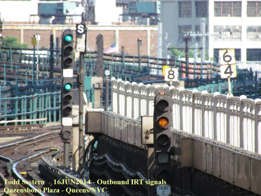
I took the "N" over one stop to Queensboro Plaza, where I caught a few pictures before going upstairs to the outbound platform to catch an outbound number 7. Queensboro Plaza is an interchange stop between the former IRT World's Fair #7 line and the BMT Astoria Line (Q & N).
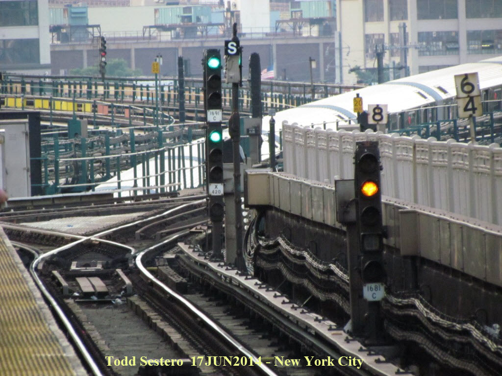 Outbound signals on the IRT side of the upper platform.
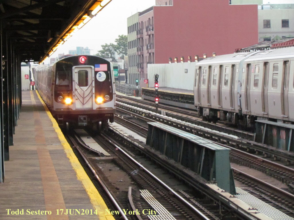
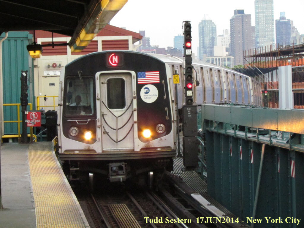 An outbound "N" train on the BMT side of the upper platform
coming into the station.
An outbound "N" train on the BMT side of the upper platform
coming into the station.
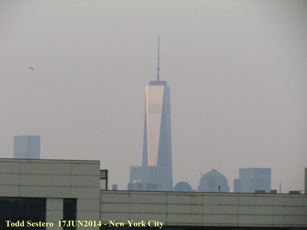 The new Freedom Tower in Manhattan from the upper platform.
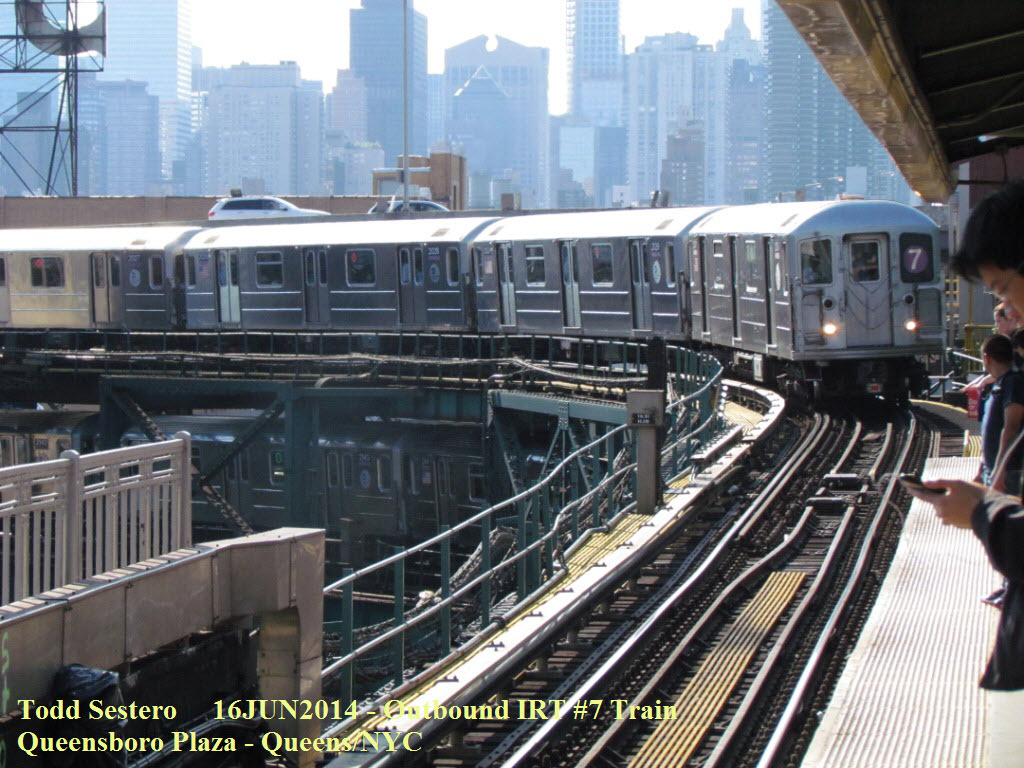
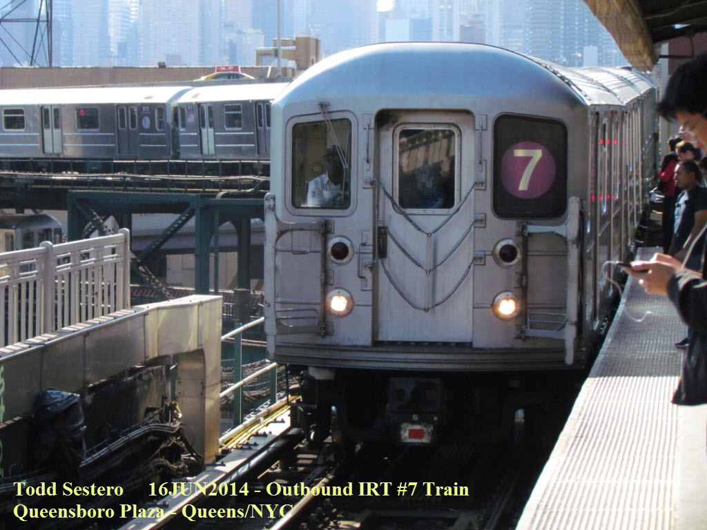
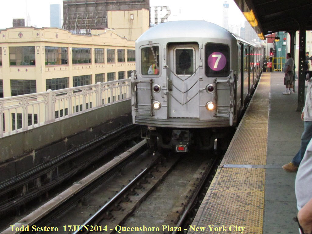 The outbound #7 I hopped on.
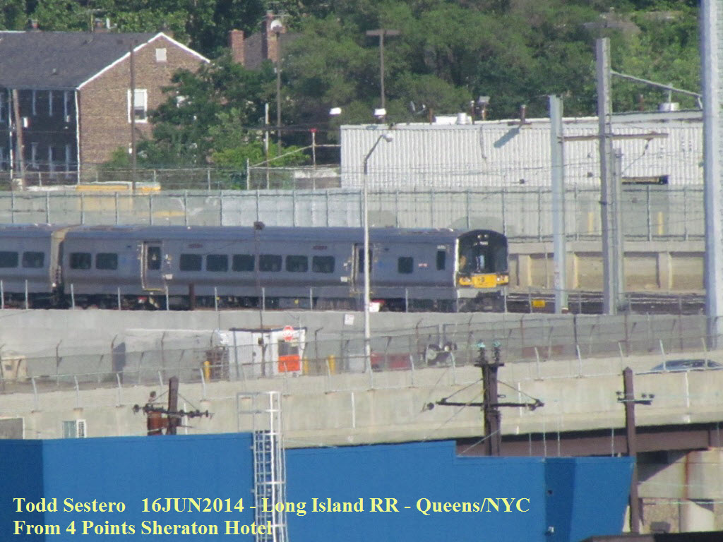
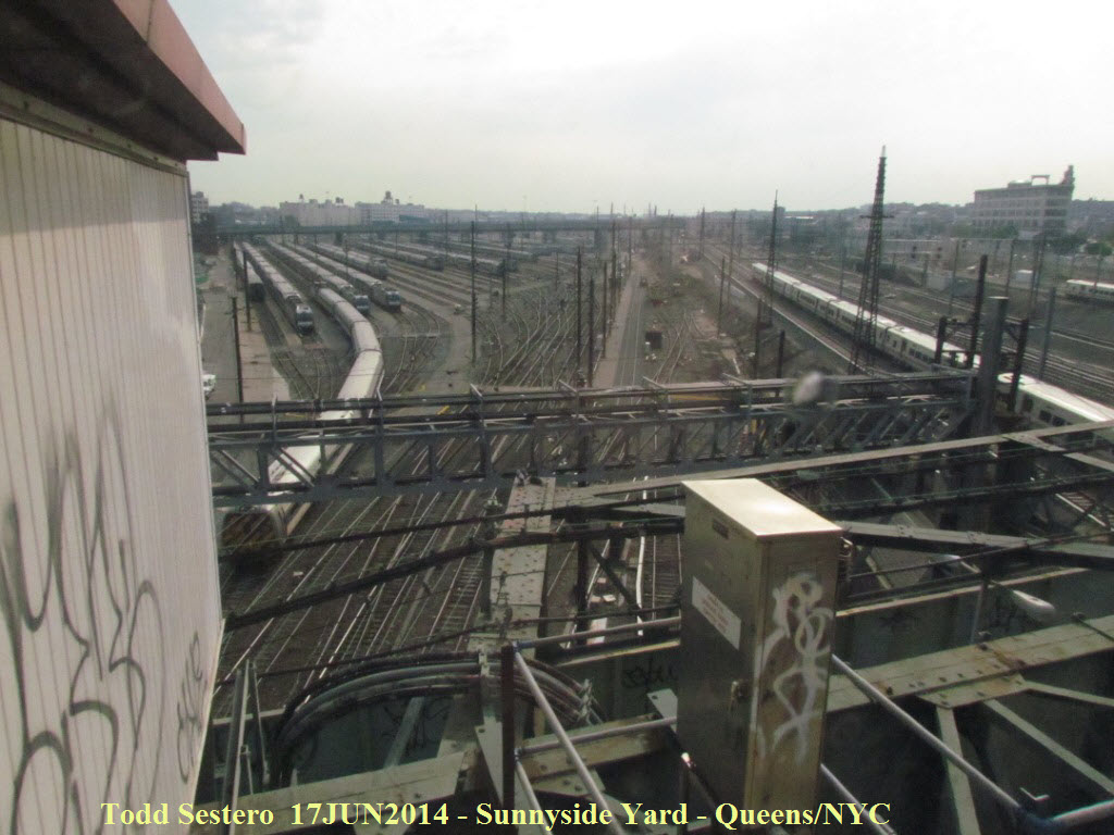
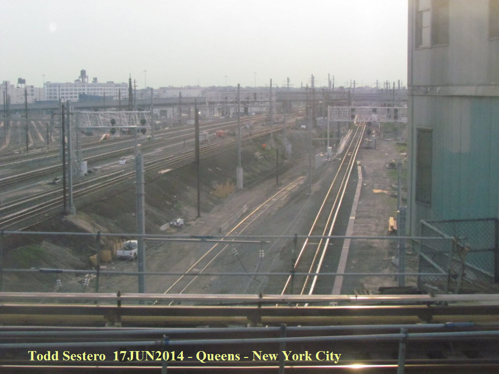 On the way, we pass over Sunnyside Yard in the Queens, where
Amtrak and NJT trains layover when not running. The tracks we are going
over here are the Long Island RR's, with new "trilight" signals having replaced
the Pennsy style PL signals maybe around 2011 or so. To bad I wasn't into
taking pictures in the 60's as a kid, cause I used to ride this line all the
time since my Grandparents lived on 69th Street over in Jackson Heights.
On the way, we pass over Sunnyside Yard in the Queens, where
Amtrak and NJT trains layover when not running. The tracks we are going
over here are the Long Island RR's, with new "trilight" signals having replaced
the Pennsy style PL signals maybe around 2011 or so. To bad I wasn't into
taking pictures in the 60's as a kid, cause I used to ride this line all the
time since my Grandparents lived on 69th Street over in Jackson Heights.
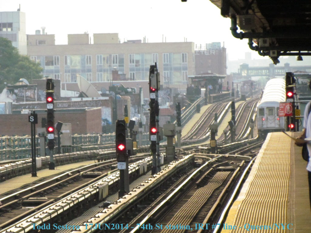
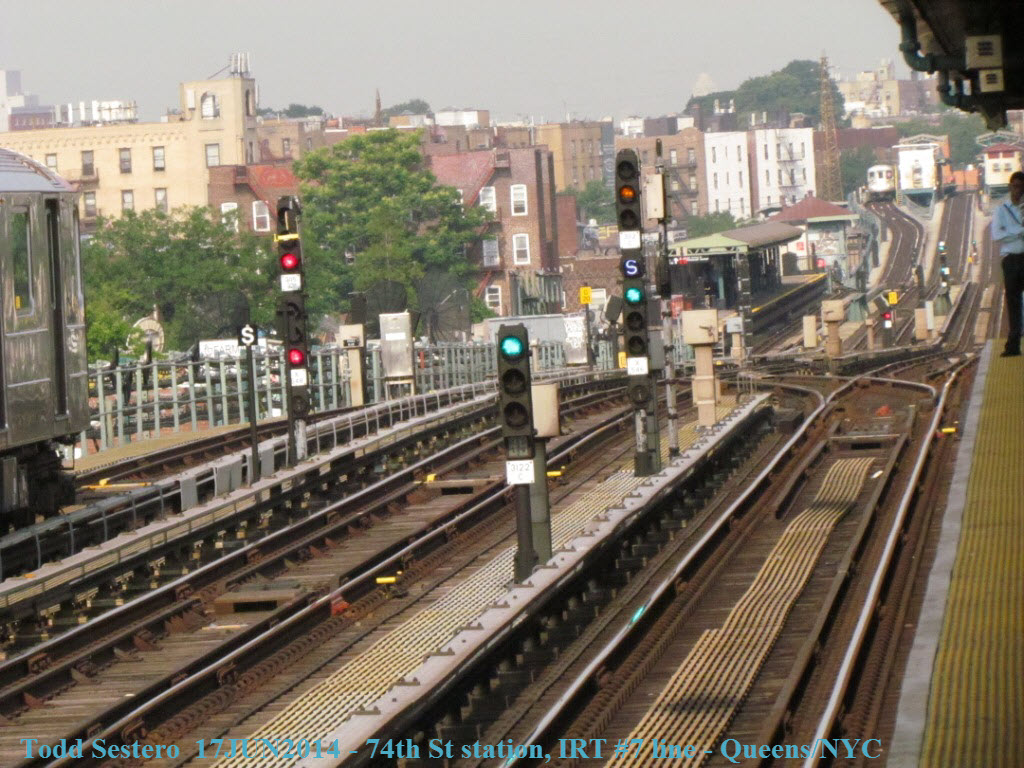
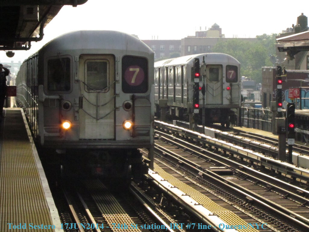
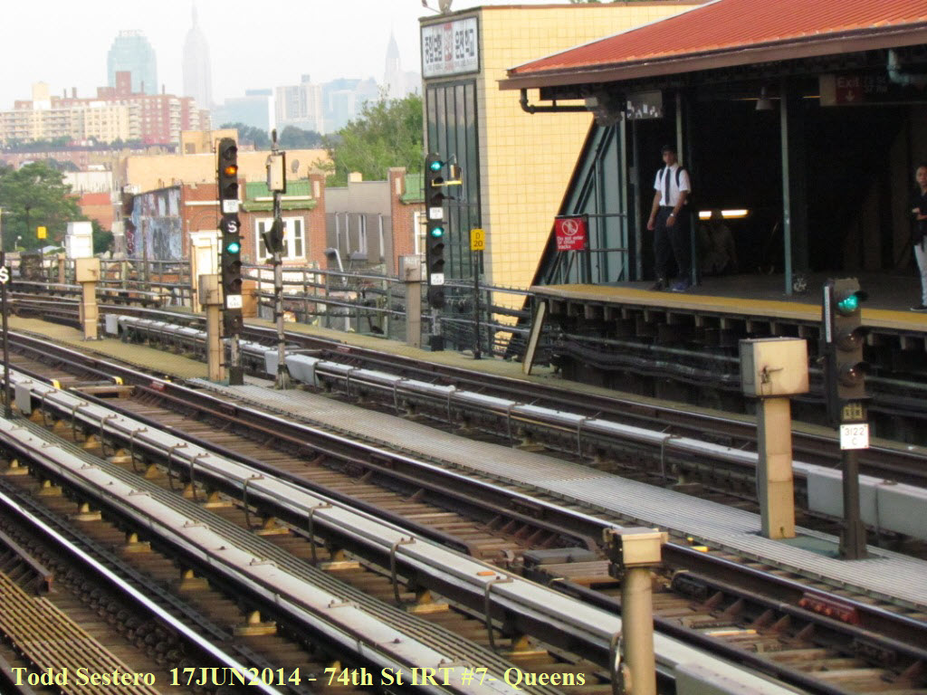 Inbound signals at the 74th Street station. Notice the
center express track is set up for inbound trains during the morning rush hour.
Inbound signals at the 74th Street station. Notice the
center express track is set up for inbound trains during the morning rush hour.
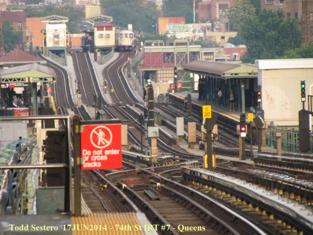 Looking towards Manhattan from the 74th Street station.
I've always loved taking pictures here. The far station is 61st
Street/Woodside, where you can catch LIRR trains. The station in the
middle is 69th Street/Fisk Ave, my entry point for most rides as a kid in the
60's.
Looking towards Manhattan from the 74th Street station.
I've always loved taking pictures here. The far station is 61st
Street/Woodside, where you can catch LIRR trains. The station in the
middle is 69th Street/Fisk Ave, my entry point for most rides as a kid in the
60's.
 Looking in the opposite direction from the picture above, all
red because of the train that just left the station :-)
Looking in the opposite direction from the picture above, all
red because of the train that just left the station :-)
At 74th Street, we go "down under" to the IND line to catch an "E". The "E" will take me to the Queenboro County courthouse at Kew Gardens. By taking the "E", I saved about 8 minutes or so due to the fact that it is an express train between 74th Street and Forest Hills. On the return trip at the peak of rush hour, we sat in the tunnel for about 5 minutes for some unknown reason.... don't know if this is typical or not....

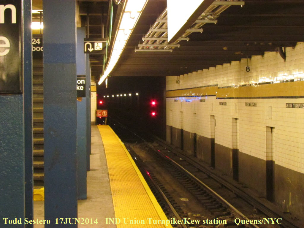
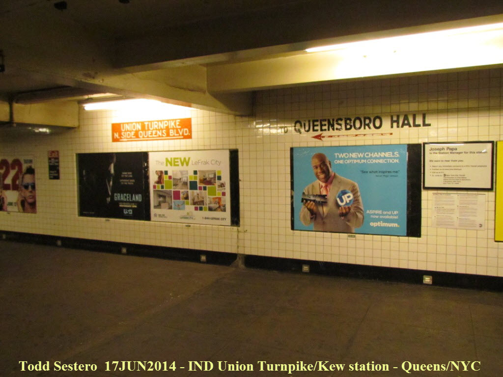
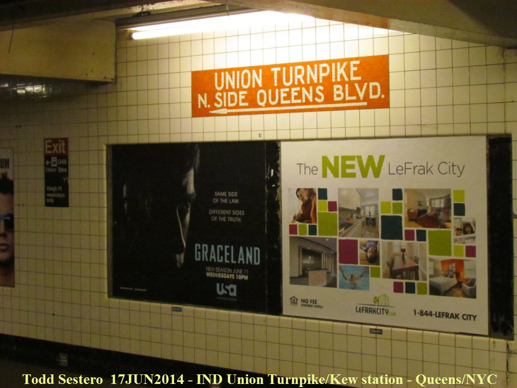 Detail shots inside the Union Turnpike/Kew Gardens station...
Things like the orange "sign" probably wouldn't be done today because of the
cost, a beautiful reminder of days past!
Detail shots inside the Union Turnpike/Kew Gardens station...
Things like the orange "sign" probably wouldn't be done today because of the
cost, a beautiful reminder of days past!
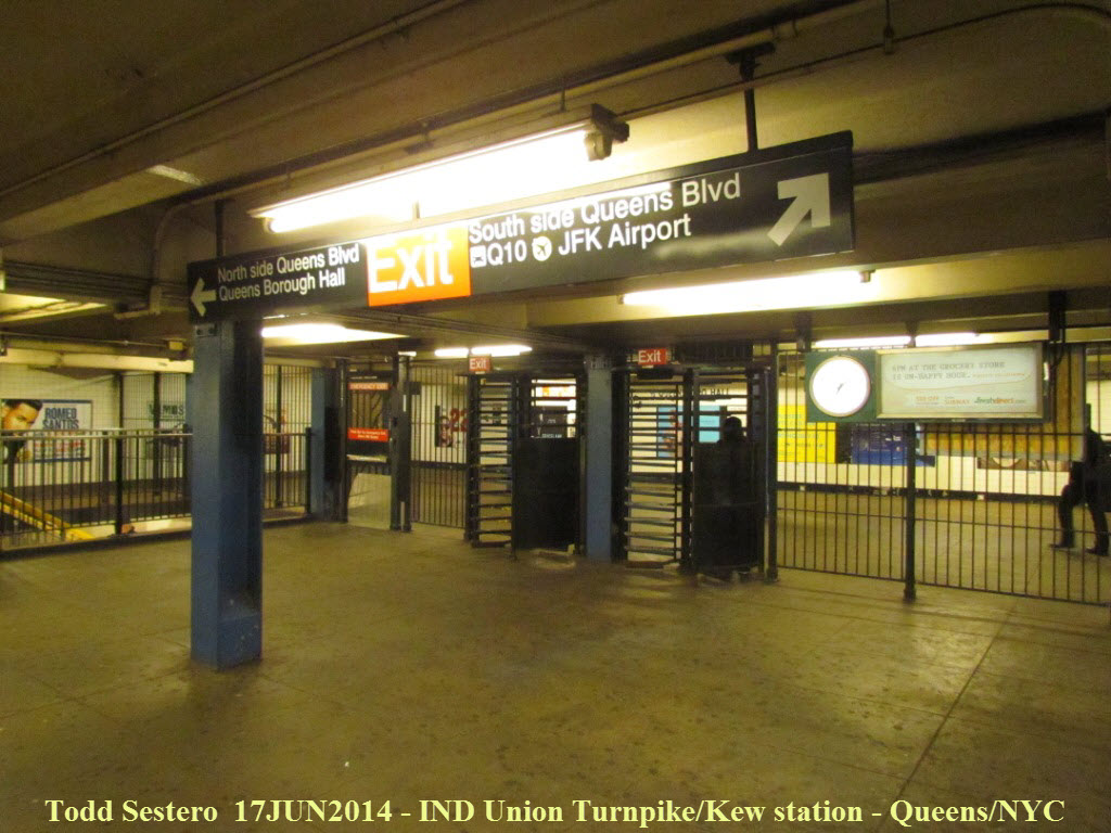
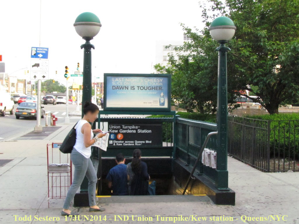 One of the many typical entrances for the station.

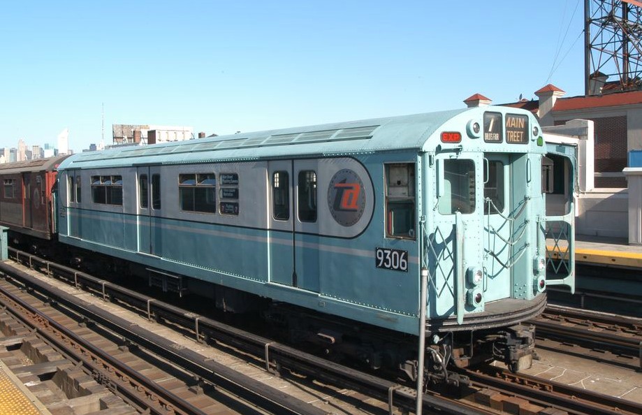
Here's a picture of the cars in their heyday as delivered in
the World's Fair paint scheme... simply beautiful!
After an hour of taking detail shots and measurements, we retraced the same lines back to the hotel: "E" to 74th Street, up to the #7 IRT line to Queensboro Plaza, and then one stop on the BMT Astoria line.
 (L) Looking towards Manhattan, we're back up on the inbound
platform at 74th Street. Right picture is looking in the other direction.
(L) Looking towards Manhattan, we're back up on the inbound
platform at 74th Street. Right picture is looking in the other direction.
BTW, if you want to know what all of these signal indications mean, click here
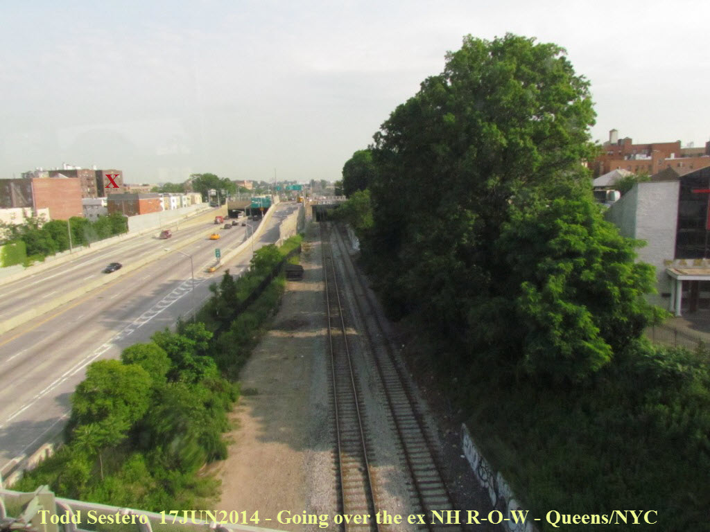 Between the 69th and 74th Street stations you go over the
tracks for the New York RR, a former New Haven line.
Between the 69th and 74th Street stations you go over the
tracks for the New York RR, a former New Haven line.
The red "X" is the apartment building my grandparents used to live in, top
floor, all the way to the right, corner apt....
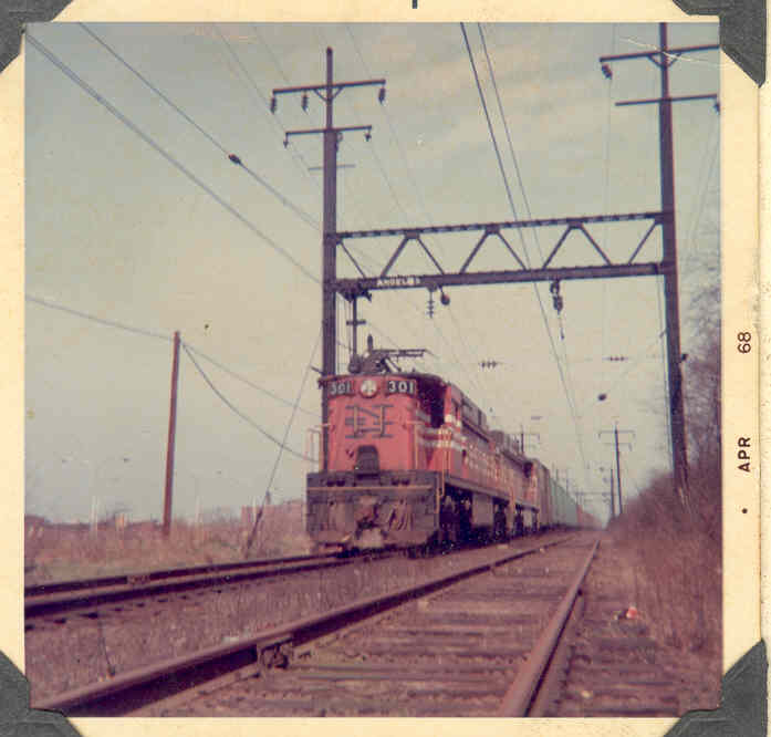 Here is a picture of a SB freight in 1968, you can just see
the top of the blade for the SB semaphore that used to be here - it is still in the
clear position.
Here is a picture of a SB freight in 1968, you can just see
the top of the blade for the SB semaphore that used to be here - it is still in the
clear position.
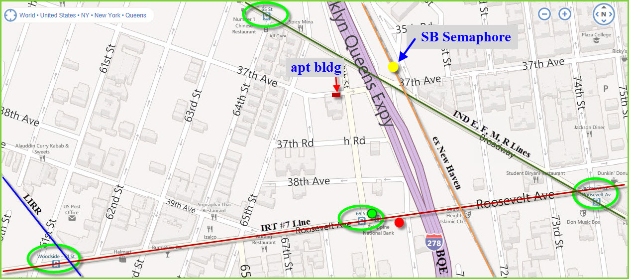
A map of the area showing the rail lines and where I used to
spend my summers.
 I got off at 69th Street/Fisk Ave to grab a photo of this
signal duo, where a new signal has been put in place, and the older one blanked
out.
I got off at 69th Street/Fisk Ave to grab a photo of this
signal duo, where a new signal has been put in place, and the older one blanked
out.
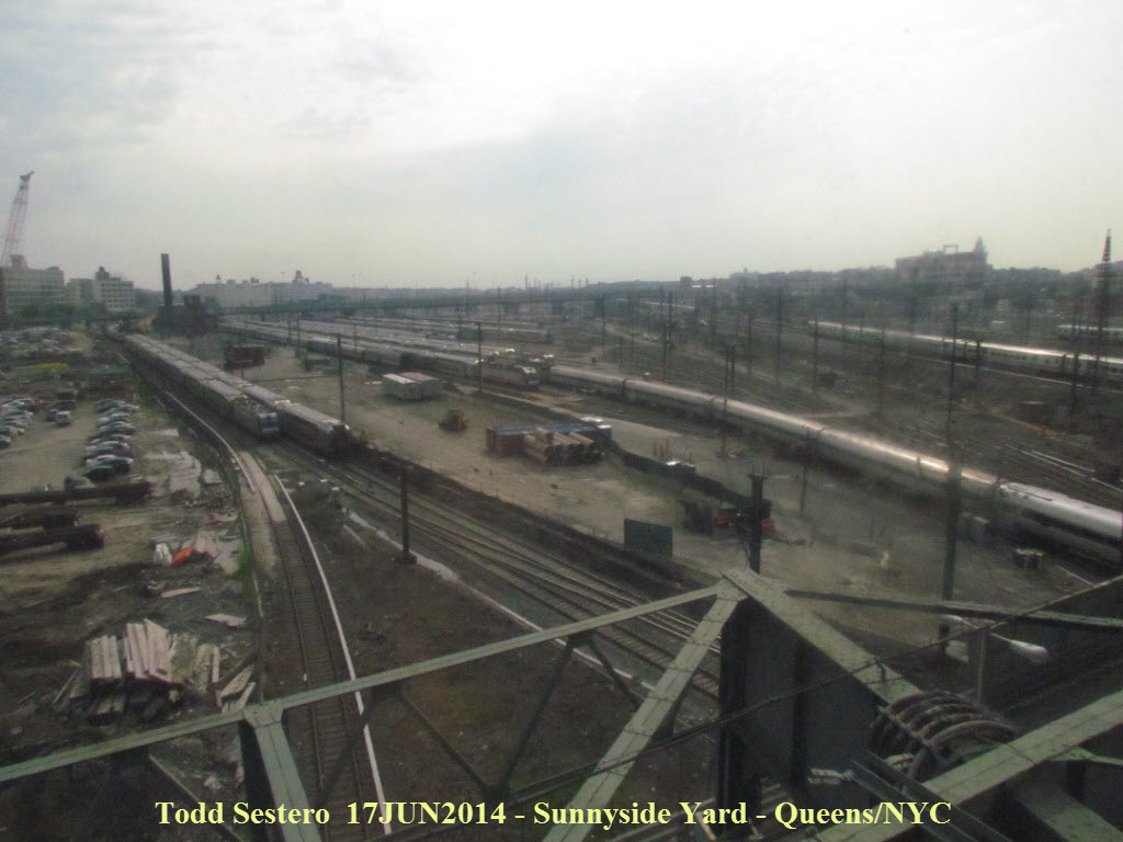 Again, we cross Sunnyside Yard on the way back, windows
generally are not very clean :-(
Again, we cross Sunnyside Yard on the way back, windows
generally are not very clean :-(
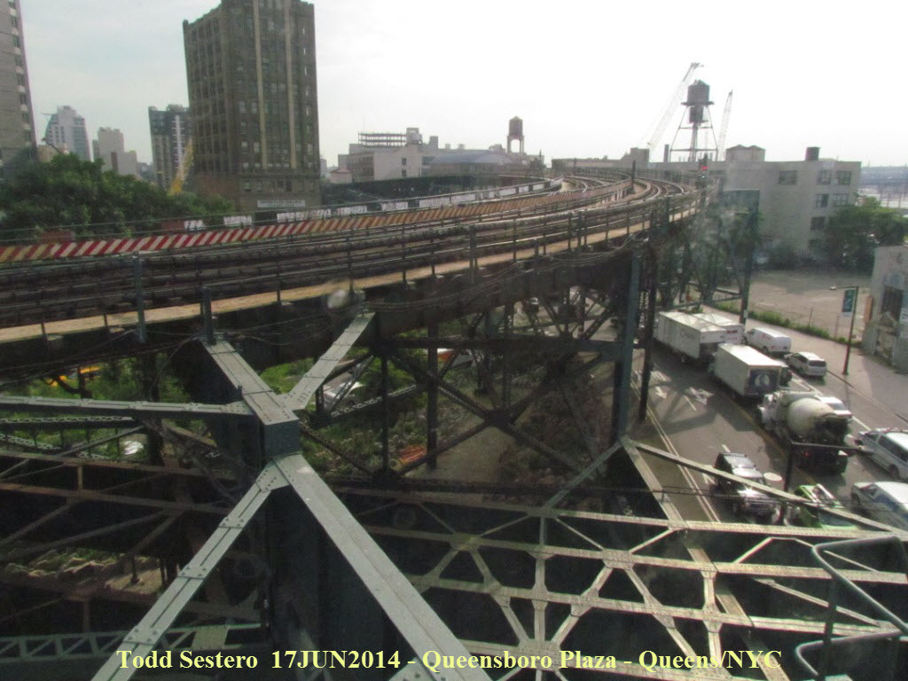 The "BMT" Astoria line heading up north out of Queensboro
Plaza.
The "BMT" Astoria line heading up north out of Queensboro
Plaza.
 An inbound #7 train just turned the signal red as it heads out
of Queensboro Plaza.
An inbound #7 train just turned the signal red as it heads out
of Queensboro Plaza.
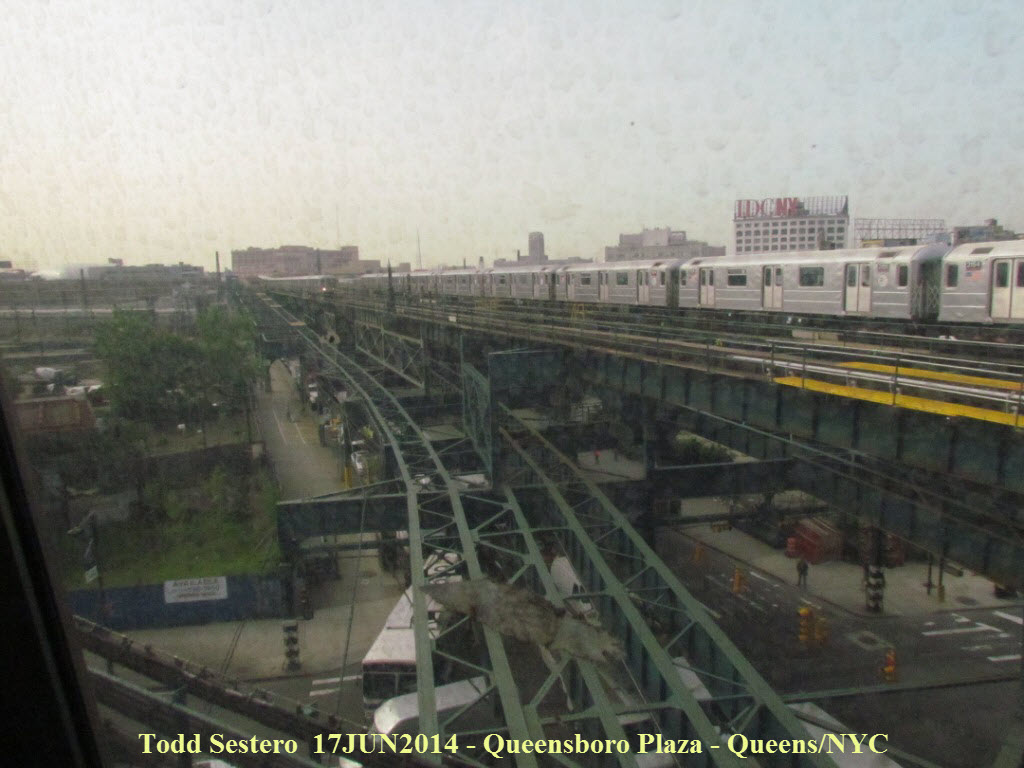
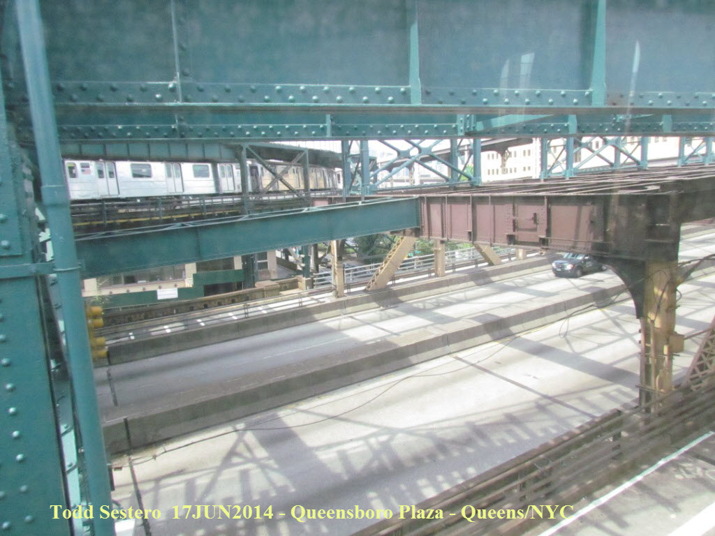 Taken from the Astoria line as it departs Queensboro Plaza
heading north, you can see where the IRT line used to have tracks going to the
lower platform.
The picture on the right is on the eastern end of the Queensboro Bridge, where
the EL used to come out of Queensboro Plaza go over the bridge.
Taken from the Astoria line as it departs Queensboro Plaza
heading north, you can see where the IRT line used to have tracks going to the
lower platform.
The picture on the right is on the eastern end of the Queensboro Bridge, where
the EL used to come out of Queensboro Plaza go over the bridge.
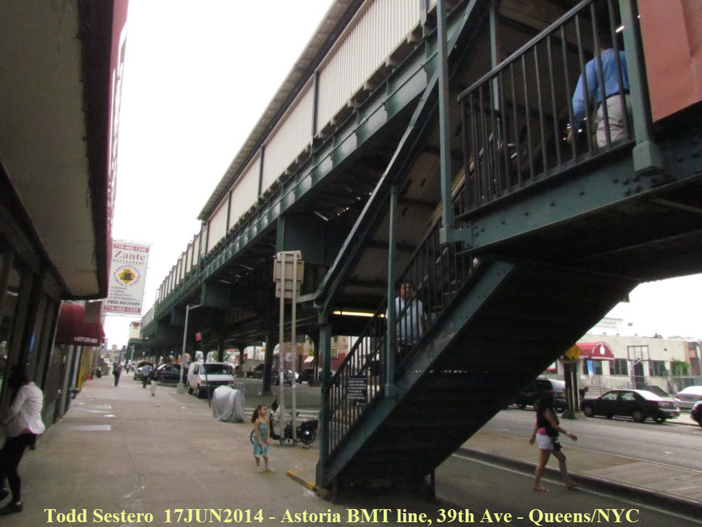
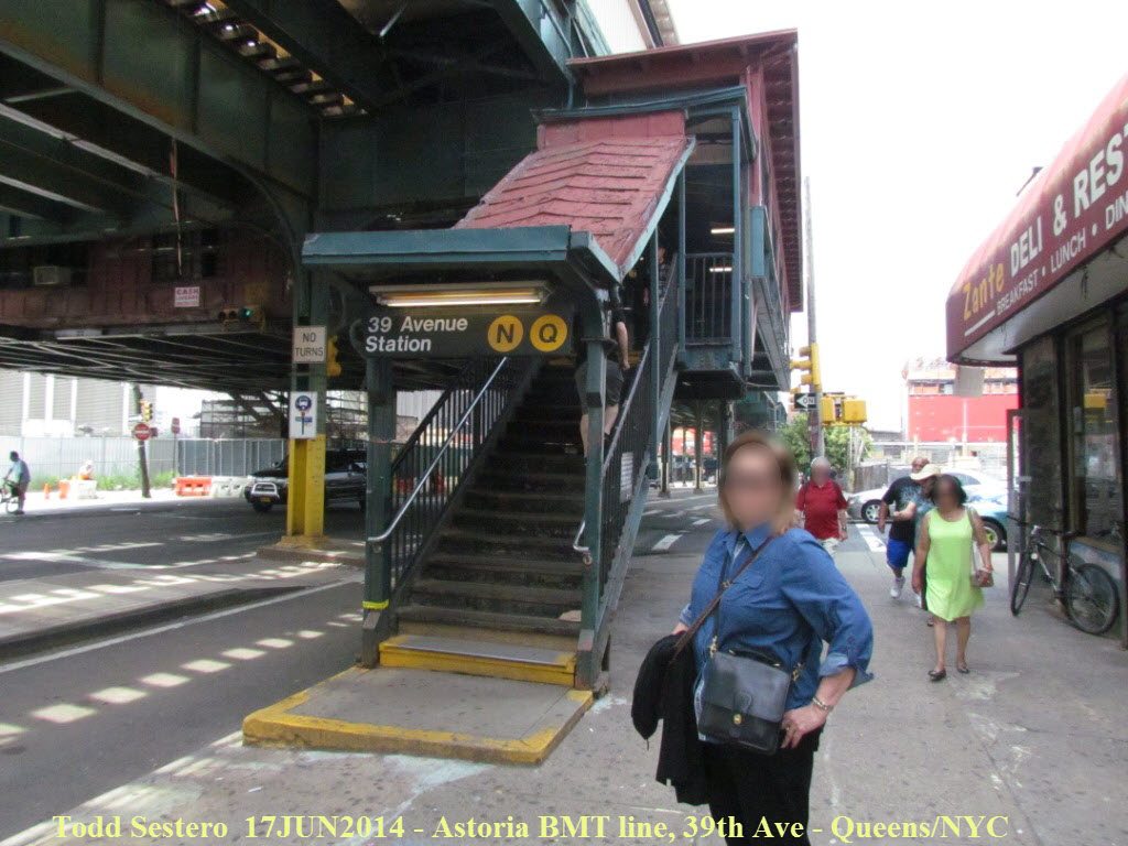 Typical EL entrance stairway.
Tuesday June 17th - The Rest of the Day and Home
After getting back to the hotel, the wife and I grabbed breakfast there, then headed over to the Roosevelt Island Tram via a BMT "Q" train, which leaves the EL at Queensboro Plaza, and then dips down into the ground just before crossing the East River. This is the red arrow on the map below.
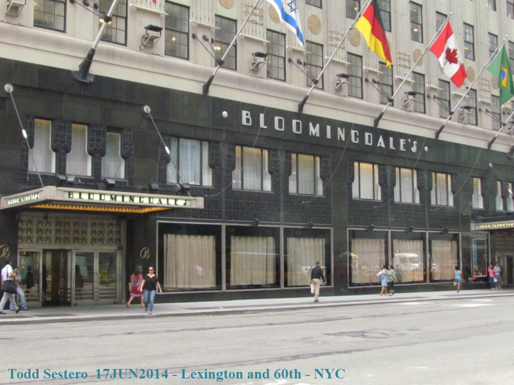
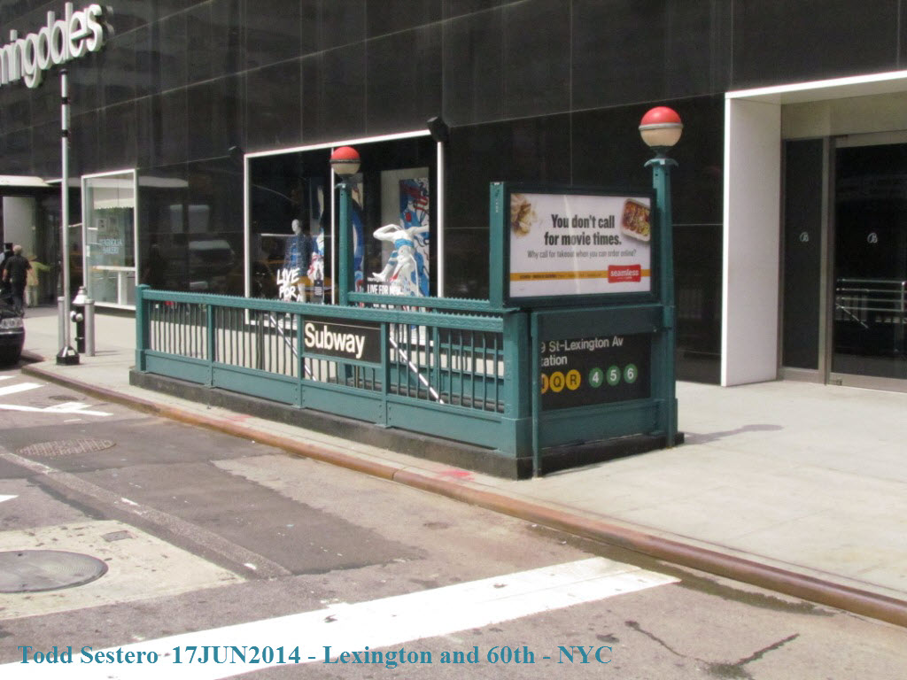
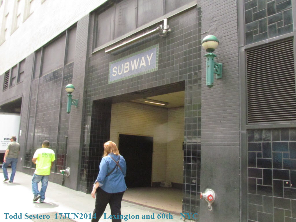
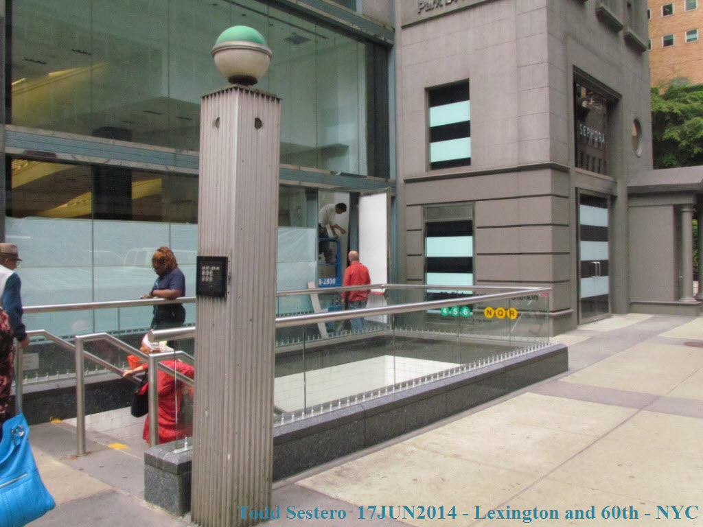
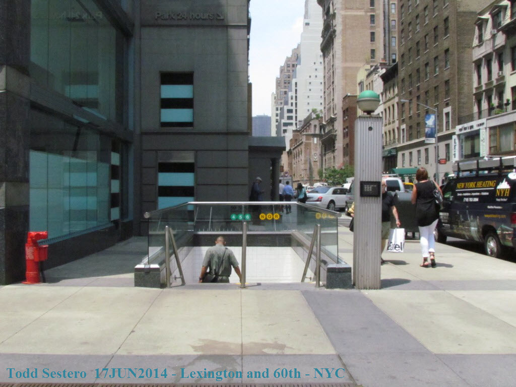
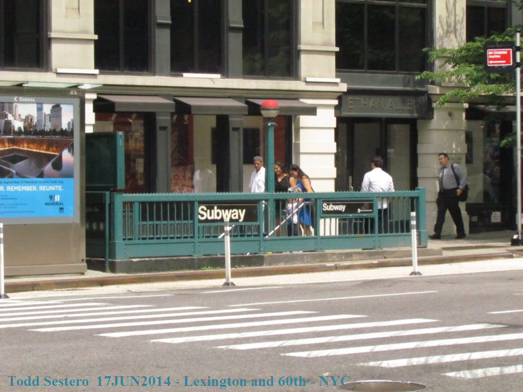 THE Bloomingdales and some of the subway entrances around the
store at 60th and Lexington.
THE Bloomingdales and some of the subway entrances around the
store at 60th and Lexington.
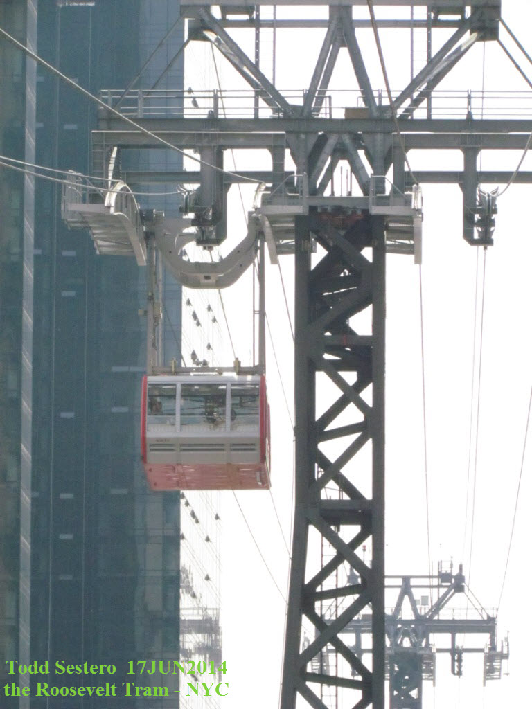
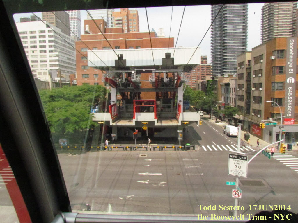

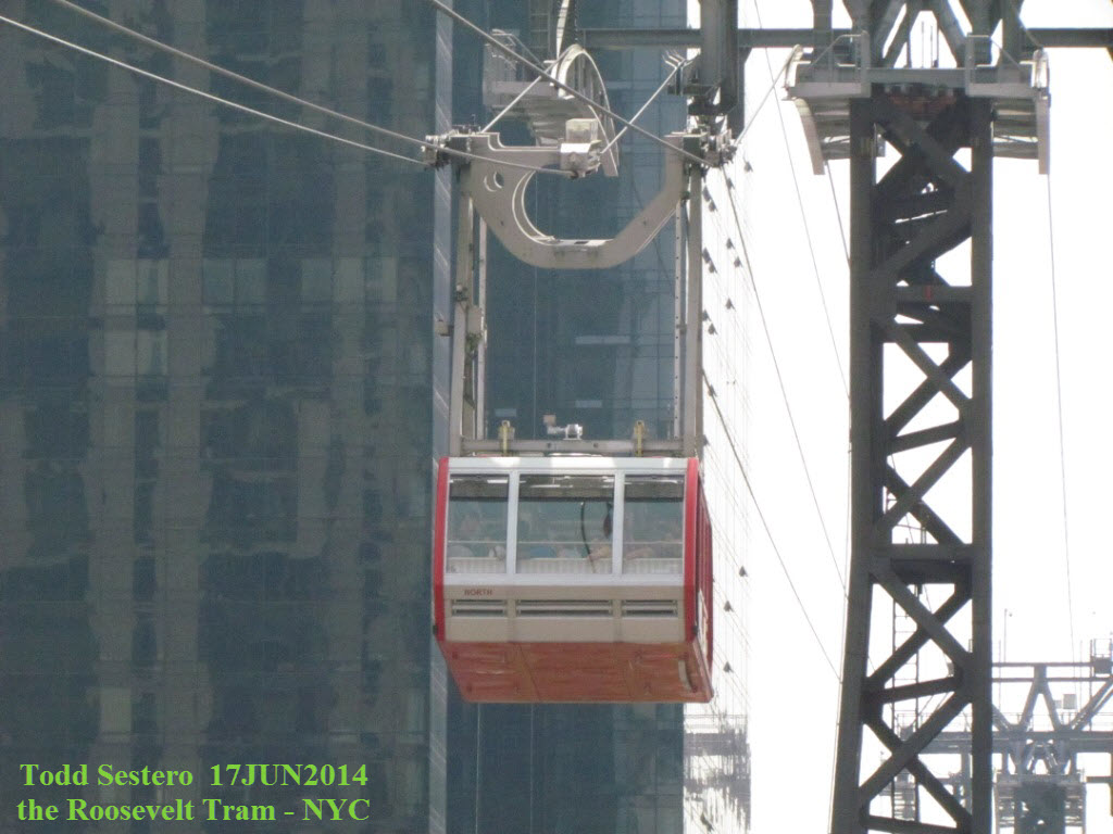
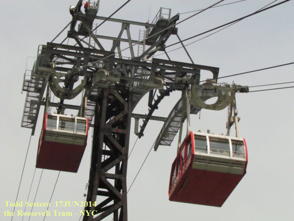

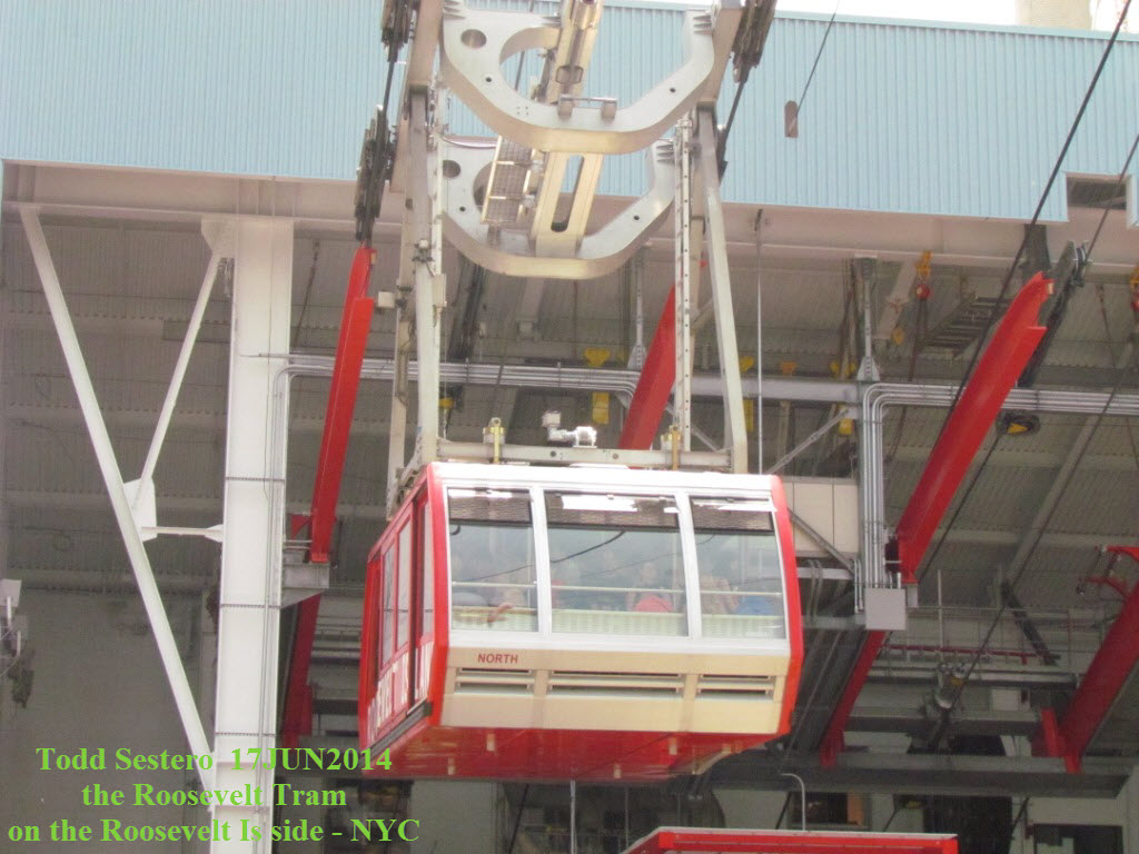 The Tram is not part of the MTA bus and subway system, but you
are able to use the MTA's MetroCard to ride it.
The Tram is not part of the MTA bus and subway system, but you
are able to use the MTA's MetroCard to ride it.
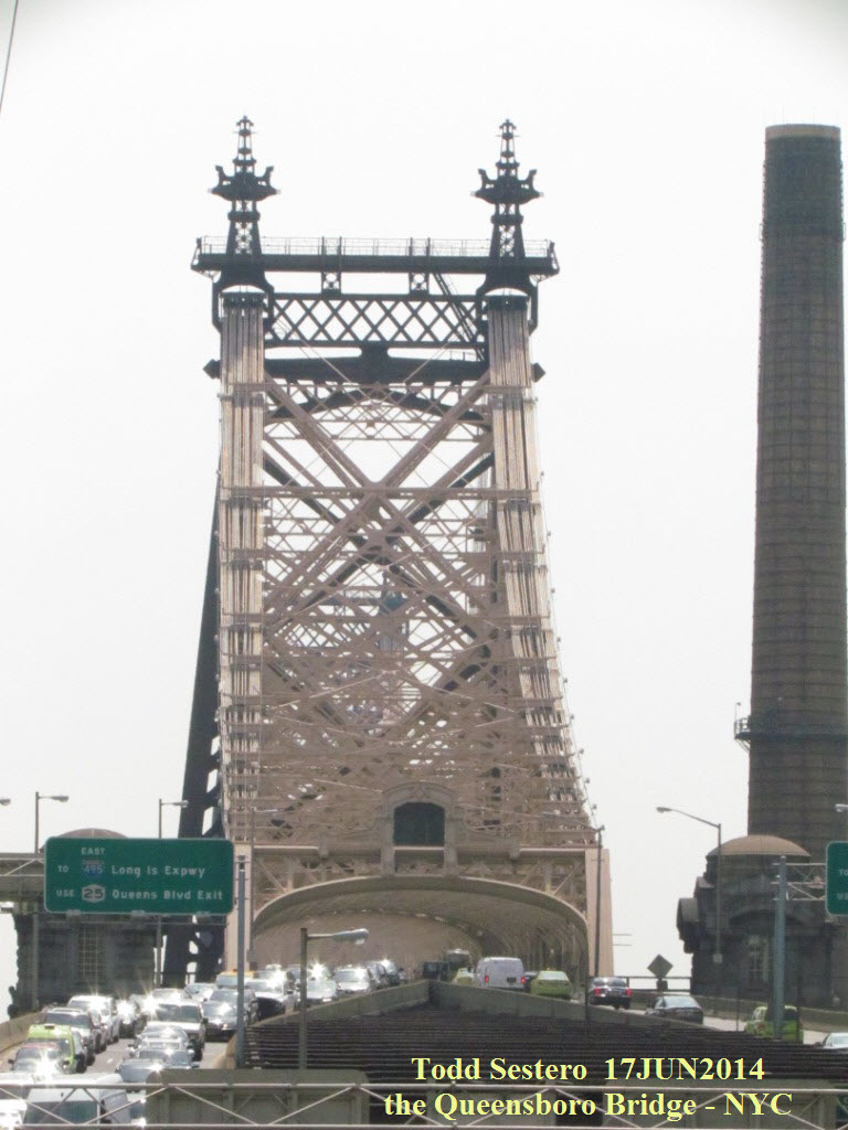
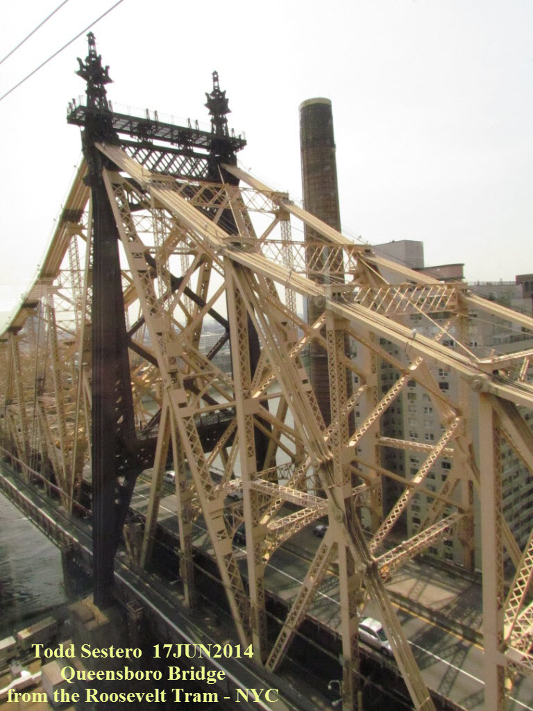
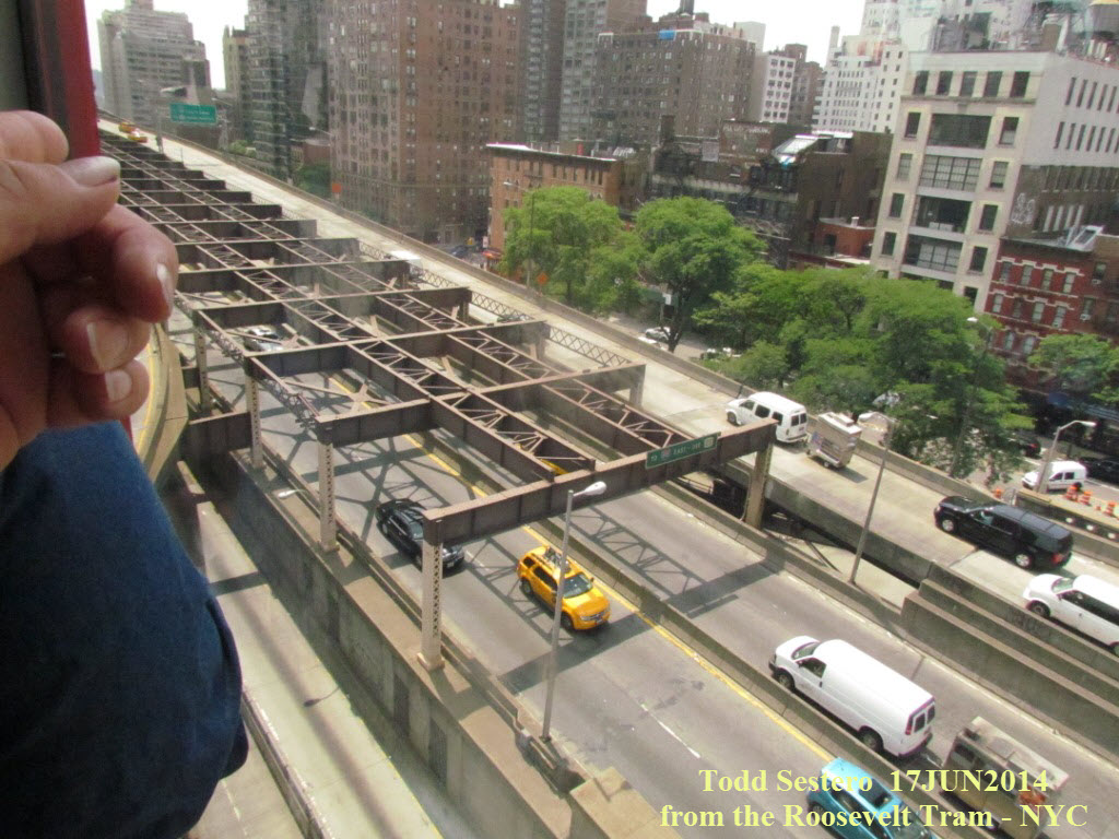
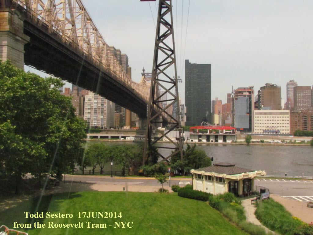 The Queensboro Bridge, and part of the old subway EL structure
on the west side of the bridge.
The Queensboro Bridge, and part of the old subway EL structure
on the west side of the bridge.
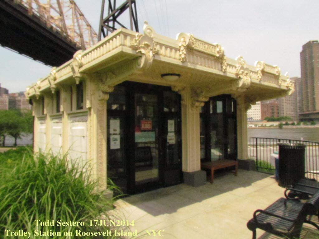
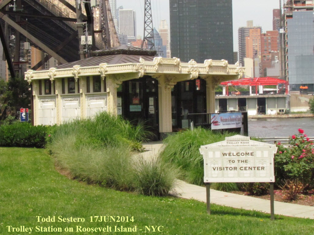 An old trolley station on Roosevelt Island is now a visitors
center, and of course, it was closed.
An old trolley station on Roosevelt Island is now a visitors
center, and of course, it was closed.

Once back into Manhattan with the Tram, we took a detour to the Lexington Ave BMT station via Bloomies. There we took an "R" to Times Square, walked thru that really long connecting tunnel to the 8th Ave line, and caught a "C" train to Penn Station.
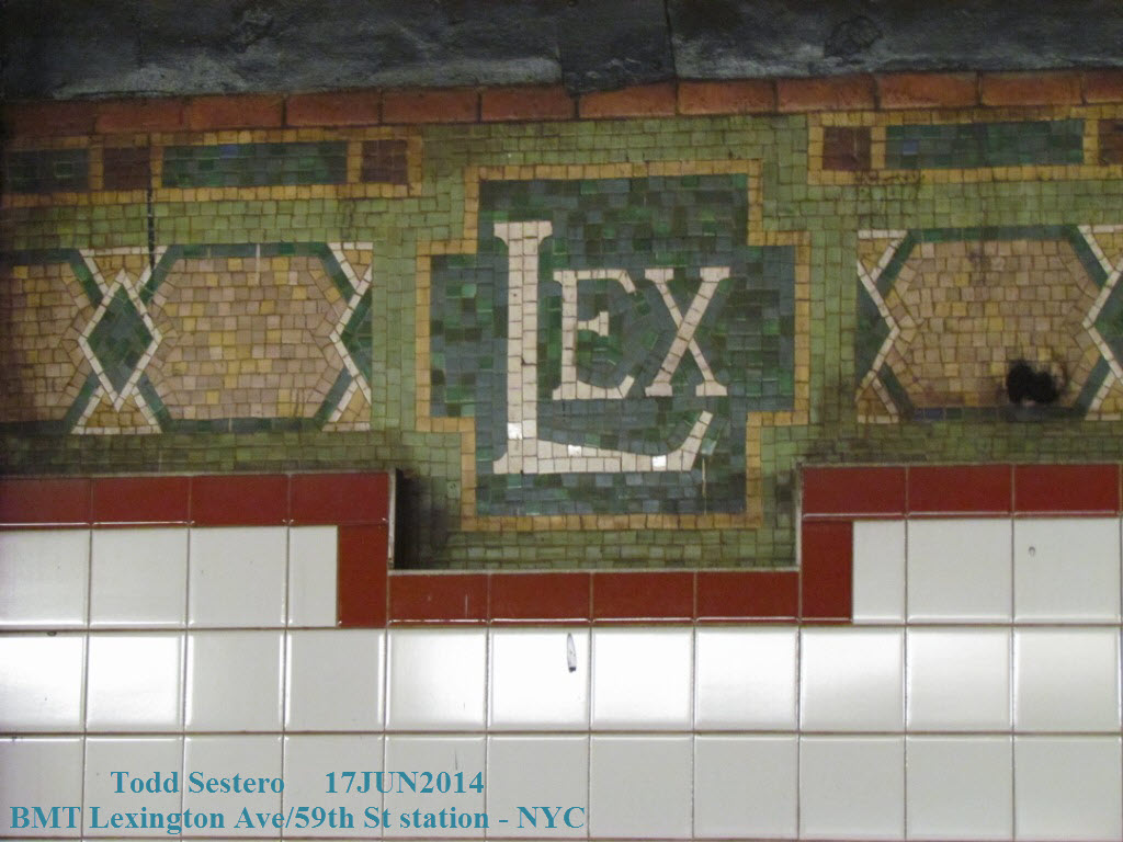
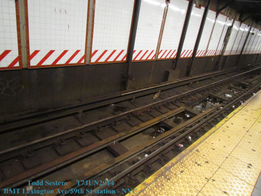
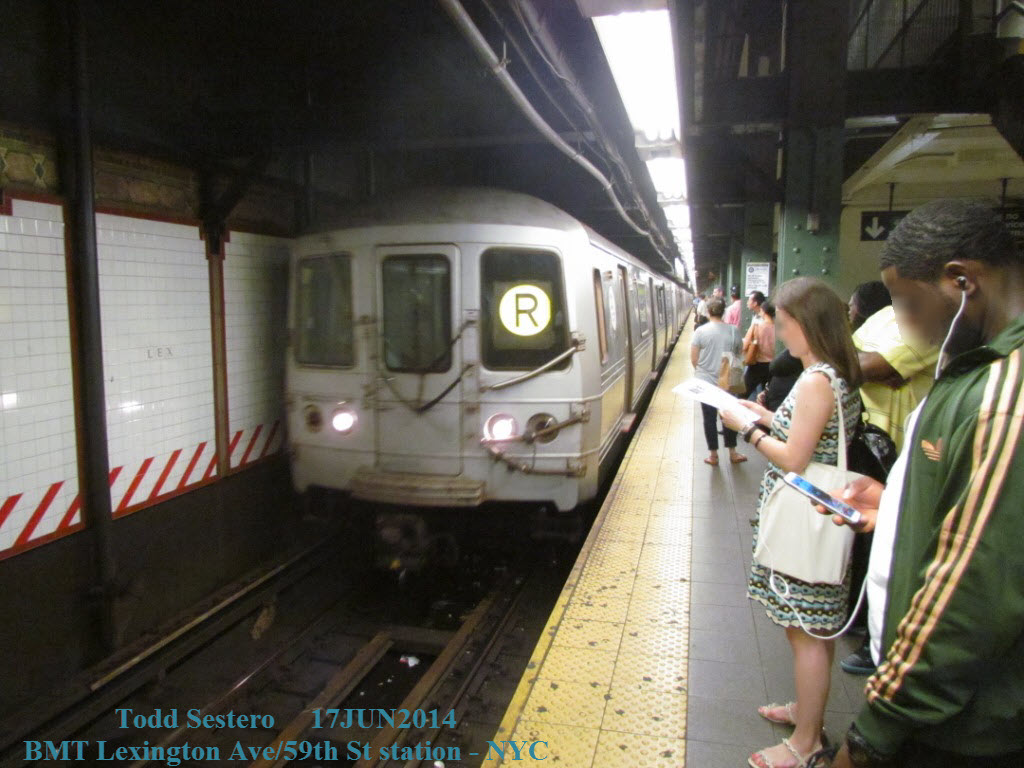 These pictures are from the IND Lexington Ave/59th Street station.
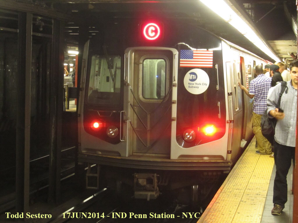 Rear of the "C" train as it's leaving Penn Station.
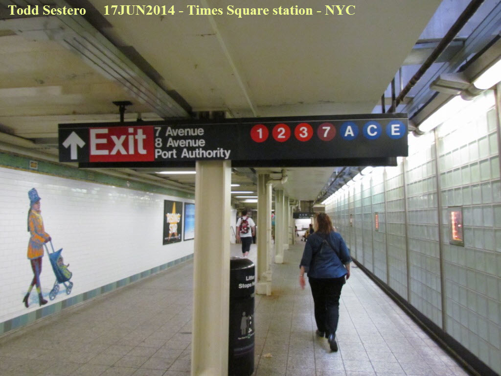
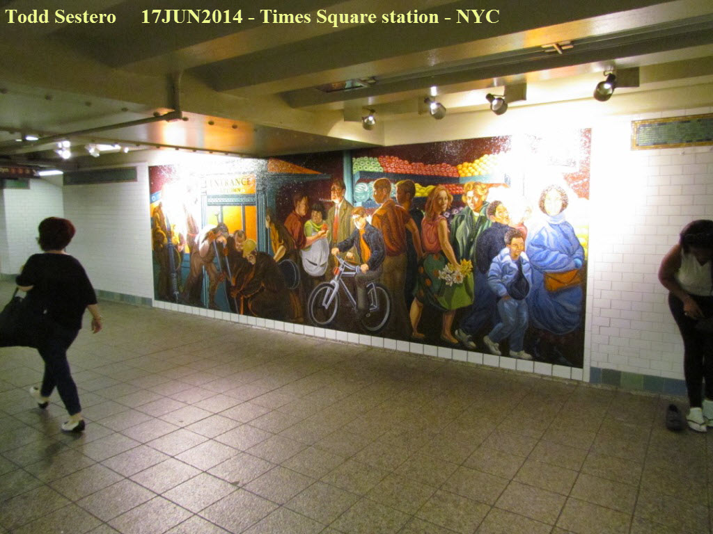
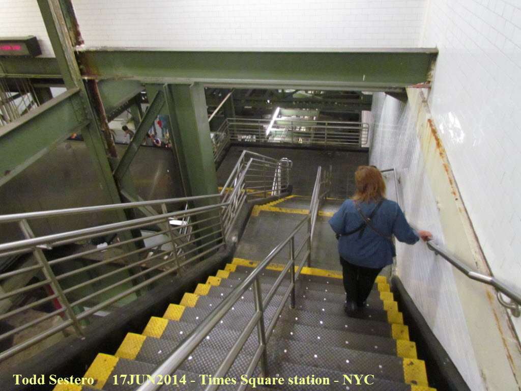
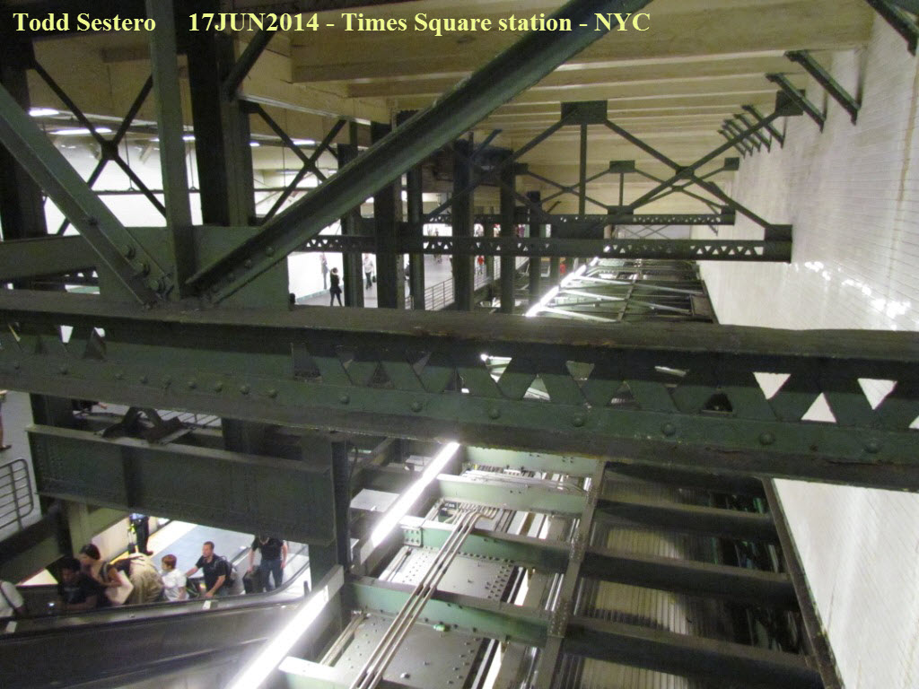
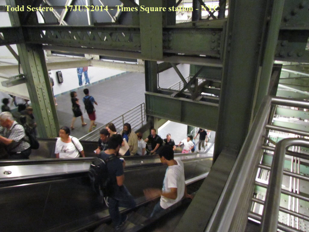
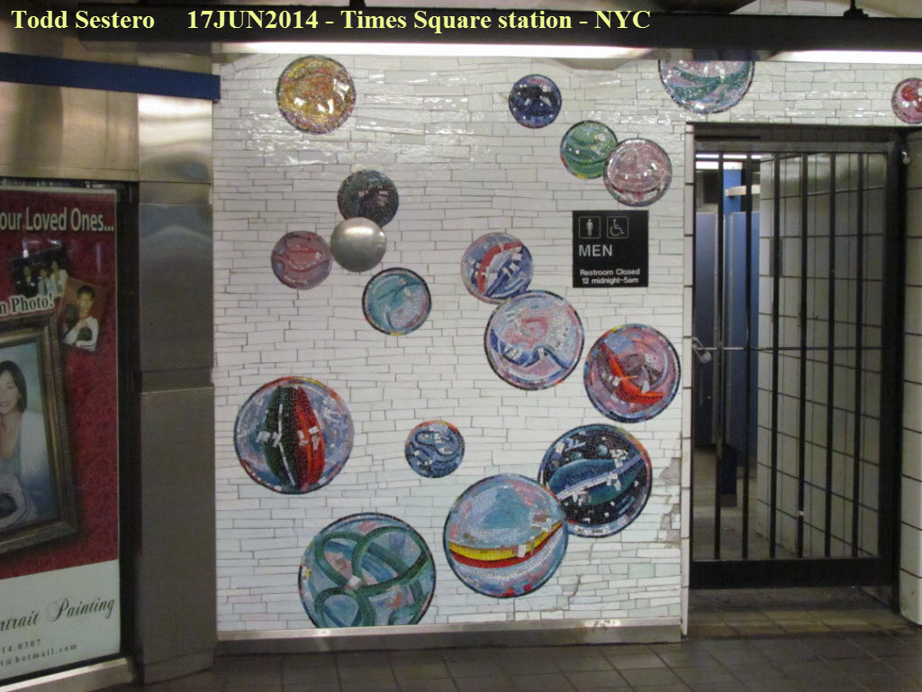
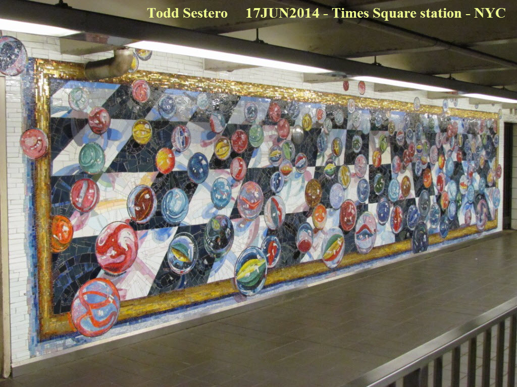 Pictures at Times Square, it is (very) easy to get lost here because
the connections are like a Labyrinth on 3 or 4 levels. The new artwork makes the walk a
little nicer - dunno why they had to put some of it out of the way by the
bathrooms tho :-)
Pictures at Times Square, it is (very) easy to get lost here because
the connections are like a Labyrinth on 3 or 4 levels. The new artwork makes the walk a
little nicer - dunno why they had to put some of it out of the way by the
bathrooms tho :-)
We stopped at Penn Station to drop off our bags before going to the show. If you have a ticket, you can go to the baggage check-in counter, and have them store items for you for $5.50 an item. The baggage area is behind the police kiosk to the right. We took another "E" train to the 7th Ave station.
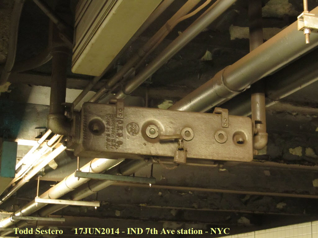
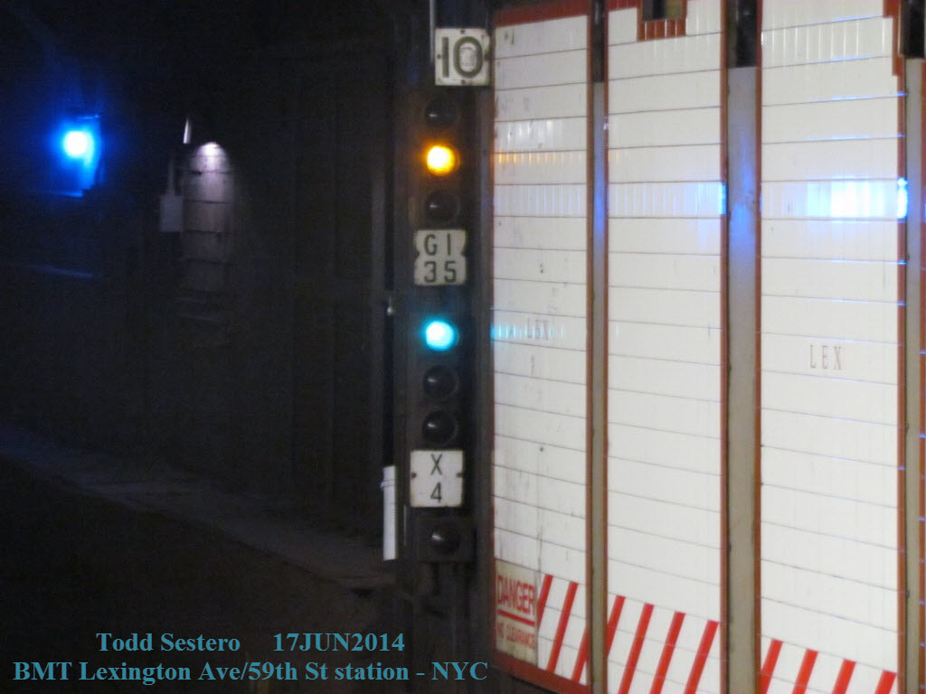
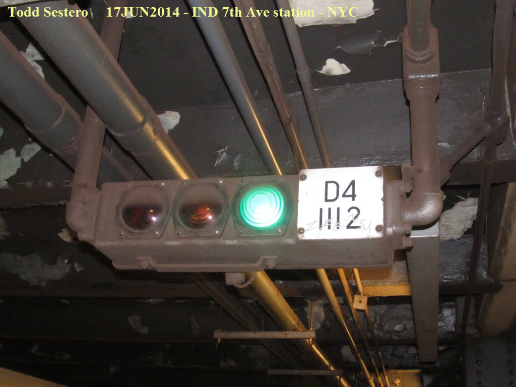 Front and back of a typical subway color light signal made by
GRS.
Front and back of a typical subway color light signal made by
GRS.
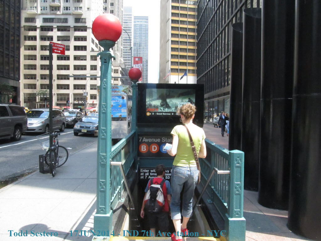
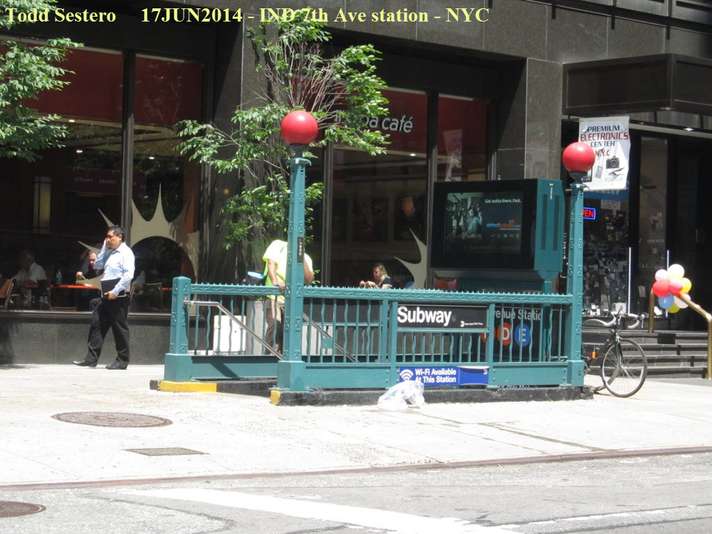

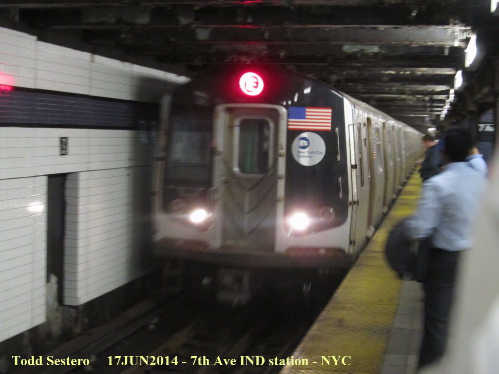
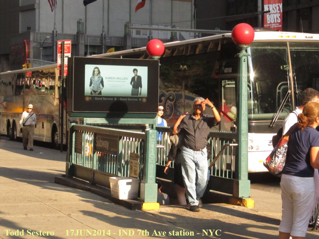 If you're headed to the Late Show taping, the IND 7th Ave
station drops you off right across the street from the theater.
If you're headed to the Late Show taping, the IND 7th Ave
station drops you off right across the street from the theater.
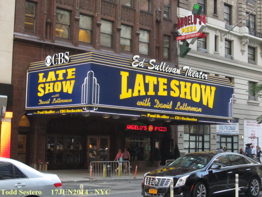
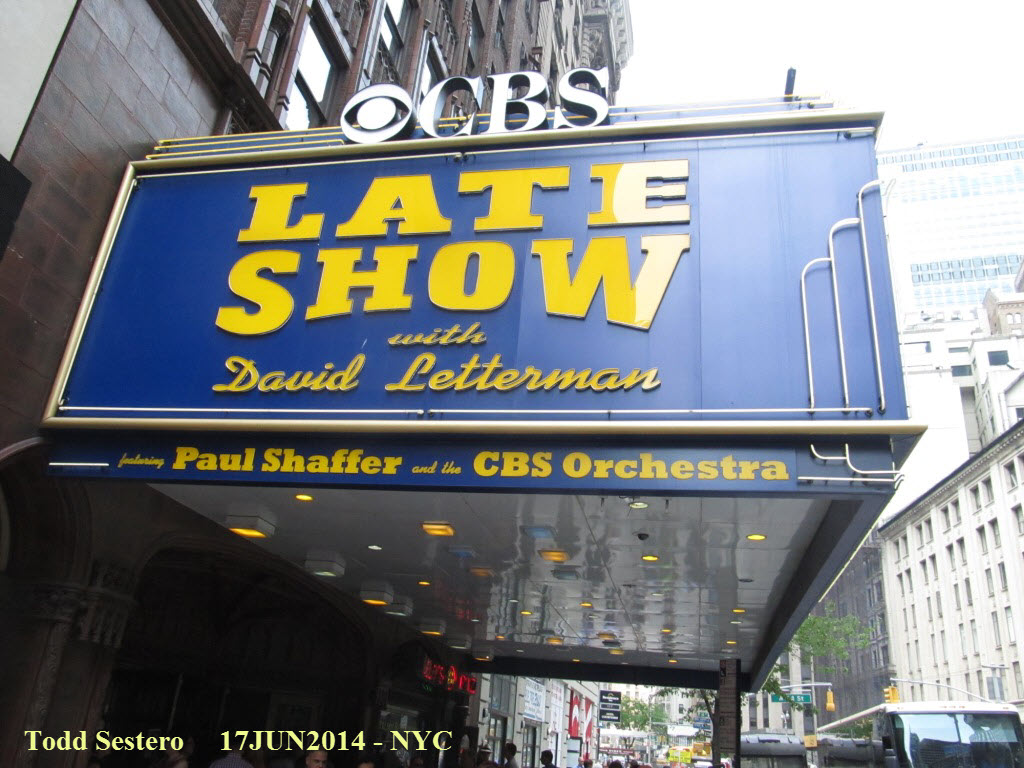 Ahhhh, the trip's destination :-) Everything is much
better LIVE!
Ahhhh, the trip's destination :-) Everything is much
better LIVE!
After the taping, which got over around 6:30, we had some time before the train left, so we wandered around for a while stopping at souvenir shops. Then headed back to Penn Station, had dinner at Fridays, picked up our bags, and boarded the train around 9:05.
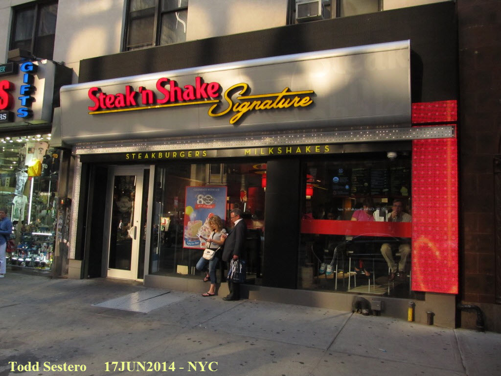 This is the only Steak n Shake
on the east coast - David Letterman asked them to open it, so the story goes....
This is the only Steak n Shake
on the east coast - David Letterman asked them to open it, so the story goes....
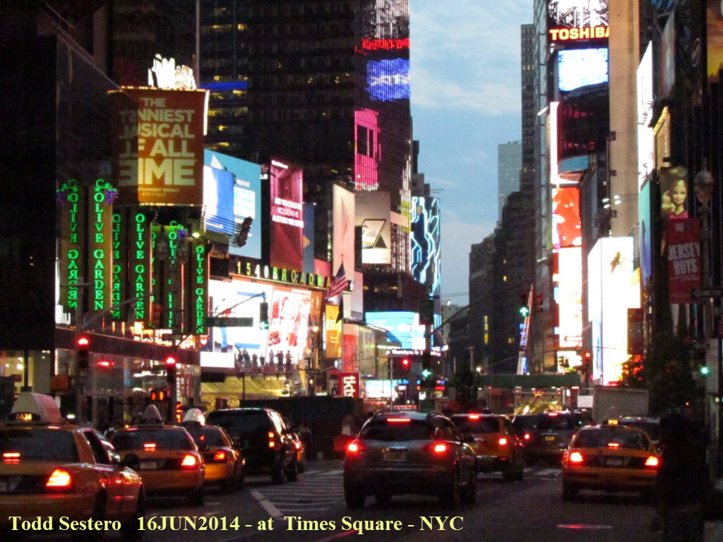
 Looking down Broadway towards Times Square.
 The last subway ride of the trip.....


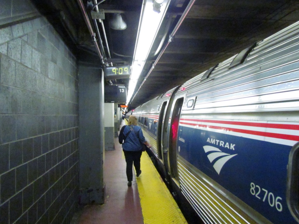
 Pictures at Penn Station, our train came up on the board about
50 minutes ahead of departure, altho the gate assignment didn't come till about
20 minutes before leaving. We got an advance notice of the gate by a woman
in the waiting area who came around and told us.
Pictures at Penn Station, our train came up on the board about
50 minutes ahead of departure, altho the gate assignment didn't come till about
20 minutes before leaving. We got an advance notice of the gate by a woman
in the waiting area who came around and told us.
 Signal at the head end of our train. Looks like a new
one may be in the waiting, or, maybe the bagged one is the old one???
Signal at the head end of our train. Looks like a new
one may be in the waiting, or, maybe the bagged one is the old one???
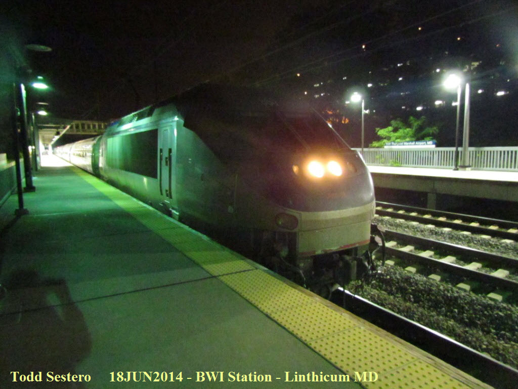
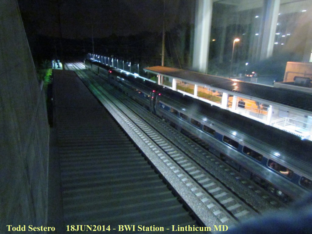 Last pictures of the night, dated the 18th cause our train got
in at 12:05.... one of train #187, and a NB.
Last pictures of the night, dated the 18th cause our train got
in at 12:05.... one of train #187, and a NB.
Phew!
Disclaimers:
I love trains, and I love signals. I am not an expert. My webpages reflect what I find on the topic of the page. This is something I have fun with while trying to help others. My webpages are an attempt at putting everything I can find of the subject in one convenient place. There are plenty of other good websites to help me in this effort, and they are listed in the links section on my indexa page, or as needed on individual pages. Please do not write to me about something that may be incorrect, and then hound the heck out of me if I do not respond to you in the manner you would like. I operate on the "Golden Rule Principle", and if you are not familiar with it, please acquaint yourself with how to treat people by reading Mathew 7:12 (among others, the principle exists in almost every religion). If you contact me (like some do, hi Paul) and try to make it a "non-fun" thing and start with the name calling, your name will go into my spambox list! :-)
Please Note: Since the main focus of my two websites is railroad signals, the railfan guides are oriented towards the signal fan being able to locate them. For those of you into the modeling aspect of our hobby, my indexa page has a list of almost everything railroad oriented I can think of to provide you with at least a few pictures to help you detail your pike.
If this is a railfan page, every effort has been made to make sure that the information contained on this map and in this railfan guide is correct. Once in a while, an error may creep in, especially if restaurants or gas stations open, close, or change names. Most of my maps are a result of personal observation after visiting these locations. I have always felt that a picture is worth a thousand words", and I feel annotated maps such as the ones I work up do the same justice for the railfan over a simple text description of the area. Since the main focus of my website is railroad signals, the railfan guides are oriented towards the signal fan being able to locate them. Since most of us railheads don't have just trains as a hobby, I have also tried to point out where other interesting sites of the area are.... things like fire stations, neat bridges, or other significant historical or geographical feature. While some may feel they shouldn't be included, these other things tend to make MY trips a lot more interesting.... stuff like where the C&O Canal has a bridge going over a river (the Monocacy Aqueduct) between Point of Rocks and Gaithersburg MD, it's way cool to realize this bridge to support a water "road" over a river was built in the 1830's!!!
My philosophy: Pictures and maps are worth a
thousand words, especially for railfanning. Text descriptions only
get you so far, especially if you get lost or disoriented. Take
along good maps.... a GPS is OK to get somewhere, but maps are still
better if you get lost! I belong to AAA, which allows you to get
local maps for free when you visit the local branches. ADC puts
out a nice series of county maps for the Washington DC area, but their
state maps do not have the railroads on them. If you can find em,
I like the National Geographic map book of the U.S..... good, clear, and
concise graphics, and they do a really good job of showing you where
tourist type attractions are, although they too lack the railroads.
Other notes about specific areas will show up on that page if known.
Pictures and additional information is always needed if anyone feels
inclined to take 'em, send 'em, and share 'em, or if you have
something to add or correct.... credit is always given! BE NICE!!! Contact info
is here
Beware: If used as a source, ANYTHING from Wikipedia must be treated as being possibly being inaccurate, wrong, or not true.
RAILFAN GUIDES HOME
RAILROAD SIGNALS HOME
New 07/02/2014
last Modified:
06 Jul 2014